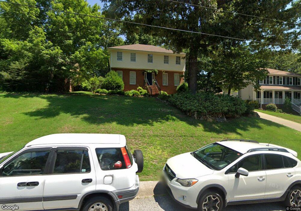
4821 Keith Dr Birmingham, AL 35242
Estimated Value: $369,000 - $422,622
--
Bed
2
Baths
2,549
Sq Ft
$156/Sq Ft
Est. Value
About This Home
This home is located at 4821 Keith Dr, Birmingham, AL 35242 and is currently estimated at $398,406, approximately $156 per square foot. 4821 Keith Dr is a home located in Shelby County with nearby schools including Oak Mountain Elementary School, Oak Mountain Intermediate School, and Oak Mt. Middle School.
Ownership History
Date
Name
Owned For
Owner Type
Purchase Details
Closed on
Mar 22, 2010
Sold by
Fecik Robert
Bought by
Fecik Robert and Roskam Elicia
Current Estimated Value
Purchase Details
Closed on
Mar 7, 2007
Sold by
Scurti Gina M
Bought by
Fecik Robert
Home Financials for this Owner
Home Financials are based on the most recent Mortgage that was taken out on this home.
Original Mortgage
$202,410
Outstanding Balance
$122,046
Interest Rate
6.19%
Mortgage Type
Unknown
Estimated Equity
$276,360
Purchase Details
Closed on
Mar 10, 2003
Sold by
Itani Oussama and Itani Rachel
Bought by
Scurti Gina M
Home Financials for this Owner
Home Financials are based on the most recent Mortgage that was taken out on this home.
Original Mortgage
$156,150
Interest Rate
5.82%
Create a Home Valuation Report for This Property
The Home Valuation Report is an in-depth analysis detailing your home's value as well as a comparison with similar homes in the area
Home Values in the Area
Average Home Value in this Area
Purchase History
| Date | Buyer | Sale Price | Title Company |
|---|---|---|---|
| Fecik Robert | -- | None Available | |
| Fecik Robert | $224,000 | None Available | |
| Scurti Gina M | $173,500 | -- |
Source: Public Records
Mortgage History
| Date | Status | Borrower | Loan Amount |
|---|---|---|---|
| Open | Fecik Robert | $202,410 | |
| Previous Owner | Scurti Gina M | $156,150 |
Source: Public Records
Tax History Compared to Growth
Tax History
| Year | Tax Paid | Tax Assessment Tax Assessment Total Assessment is a certain percentage of the fair market value that is determined by local assessors to be the total taxable value of land and additions on the property. | Land | Improvement |
|---|---|---|---|---|
| 2024 | $1,682 | $38,220 | $0 | $0 |
| 2023 | $1,565 | $36,500 | $0 | $0 |
| 2022 | $1,429 | $33,420 | $0 | $0 |
| 2021 | $1,276 | $29,940 | $0 | $0 |
| 2020 | $1,198 | $28,160 | $0 | $0 |
| 2019 | $1,148 | $27,020 | $0 | $0 |
| 2017 | $1,108 | $26,120 | $0 | $0 |
| 2015 | $997 | $23,600 | $0 | $0 |
| 2014 | $975 | $23,080 | $0 | $0 |
Source: Public Records
Map
Nearby Homes
- 4826 Keith Dr
- 4841 Keith Dr
- 4905 Keith Dr
- 3371 N Broken Bow Dr
- 5128 S Broken Bow Dr
- 5113 S Broken Bow Dr
- 5195 Redfern Way
- 5349 Harvest Ridge Ln
- 2336 Woodland Cir
- 2309 Woodland Cir
- 5245 Meadow Brook Rd
- 5035 Stratford Rd
- 100 Emily Cir
- 8000 Eagle Crest Ln
- 9008 Eagle Valley Ln
- 2000 Eagle Crest Ct
- 8032 Eagle Crest Ln
- 8028 Eagle Crest Ln Unit 7
- 5032 Stone Bridge Ln
- 5081 Pinehurst Terrace
- 4817 Keith Dr
- 4825 Keith Dr
- 5112 Weatherford Dr
- 4813 Keith Dr
- 5108 Weatherford Dr
- 4816 Keith Dr
- 5116 Weatherford Dr
- 4829 Keith Dr
- 5104 Weatherford Dr
- 4812 Keith Dr
- 5084 Little Turtle Dr Unit 5
- 4809 Keith Dr
- 5120 Weatherford Dr
- 5100 Weatherford Dr
- 4808 Keith Dr
- 4833 Keith Dr
- 0 Weatherford Dr
- 0 Weatherford Dr Unit 388343
- 0 Weatherford Dr Unit 452554
- 0 Weatherford Dr Unit 3 562902