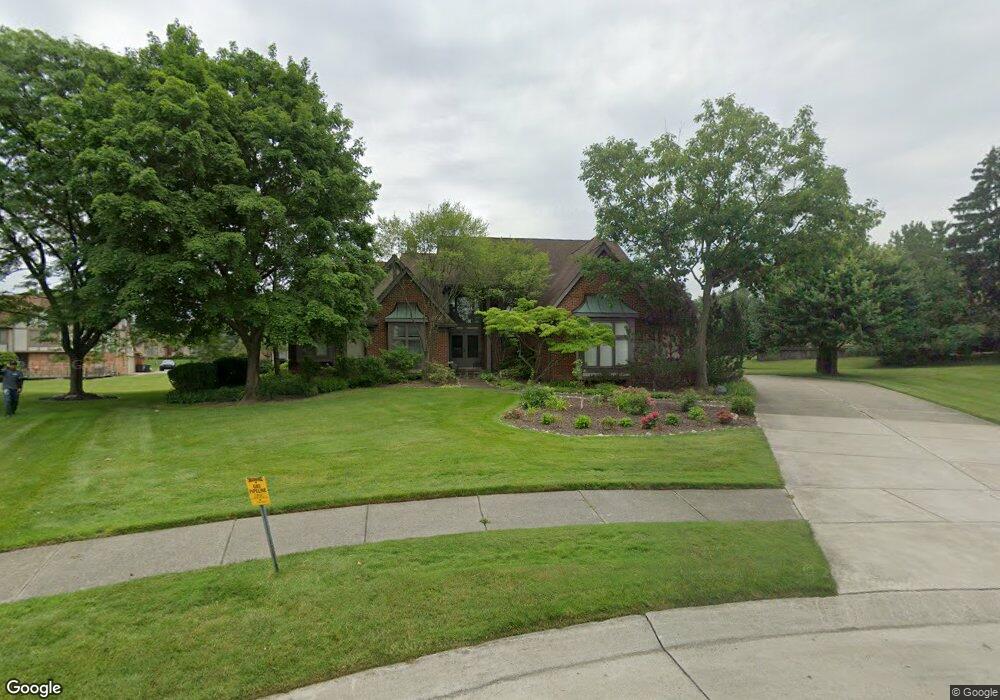
4821 Leonard Ct West Bloomfield, MI 48322
Estimated Value: $657,058 - $700,000
4
Beds
4
Baths
3,373
Sq Ft
$203/Sq Ft
Est. Value
About This Home
This home is located at 4821 Leonard Ct, West Bloomfield, MI 48322 and is currently estimated at $684,015, approximately $202 per square foot. 4821 Leonard Ct is a home located in Oakland County with nearby schools including Sheiko Elementary School, West Bloomfield Middle School, and Bloomfield Maples Montessori.
Ownership History
Date
Name
Owned For
Owner Type
Purchase Details
Closed on
Mar 2, 2004
Sold by
Burkow Lester and Burkow Lorna
Bought by
Sukenic Alan R and Sukenic Shelley
Current Estimated Value
Home Financials for this Owner
Home Financials are based on the most recent Mortgage that was taken out on this home.
Original Mortgage
$300,000
Outstanding Balance
$141,286
Interest Rate
5.78%
Mortgage Type
Credit Line Revolving
Estimated Equity
$542,729
Purchase Details
Closed on
Jul 17, 1997
Sold by
Lorna B Burkow Tr
Bought by
Burkow Lorna B
Home Financials for this Owner
Home Financials are based on the most recent Mortgage that was taken out on this home.
Original Mortgage
$250,000
Interest Rate
7.68%
Create a Home Valuation Report for This Property
The Home Valuation Report is an in-depth analysis detailing your home's value as well as a comparison with similar homes in the area
Home Values in the Area
Average Home Value in this Area
Purchase History
| Date | Buyer | Sale Price | Title Company |
|---|---|---|---|
| Sukenic Alan R | $413,000 | Metropolitan Title Company | |
| Burkow Lorna B | -- | -- |
Source: Public Records
Mortgage History
| Date | Status | Borrower | Loan Amount |
|---|---|---|---|
| Open | Sukenic Alan R | $300,000 | |
| Previous Owner | Burkow Lorna B | $250,000 |
Source: Public Records
Tax History Compared to Growth
Tax History
| Year | Tax Paid | Tax Assessment Tax Assessment Total Assessment is a certain percentage of the fair market value that is determined by local assessors to be the total taxable value of land and additions on the property. | Land | Improvement |
|---|---|---|---|---|
| 2024 | $5,054 | $271,660 | $0 | $0 |
| 2022 | $4,840 | $224,060 | $36,030 | $188,030 |
| 2021 | $7,391 | $227,440 | $0 | $0 |
| 2020 | $4,742 | $219,890 | $36,030 | $183,860 |
| 2018 | $7,127 | $209,390 | $18,020 | $191,370 |
| 2015 | -- | $208,370 | $0 | $0 |
| 2014 | -- | $190,600 | $0 | $0 |
| 2011 | -- | $159,550 | $0 | $0 |
Source: Public Records
Map
Nearby Homes
- 6067 Charles Dr
- 6323 Potomac Cir Unit 22
- 5023 Meadowbrook Dr
- 5015 Langlewood Dr
- 5106 Rock Run
- 5216 Brett Ct Unit 53
- 5016 Patrick Rd
- 6121 Westbrooke Dr Unit 7
- 6607 Westbrooke Ct
- 4185 Pinehurst Ct
- 4161 Breckenridge Dr
- 6614 Embers Ct
- 6621 Bellows Ct Unit 62
- 6651 Hearthside Ct Unit 1
- 5353 Wright Way W
- 5120 Langlewood Ct
- 6322 Pepper Hill St Unit 62
- 6222 Pepper Hill St
- 23617 Trailview Dr Unit 29
- 23601 Trailview Dr Unit 37
- 4853 Leonard Ct
- 6325 Charles Dr
- 6346 Rose Blvd
- 4800 Leonard Ct
- 6336 Rose Blvd
- 6358 Rose Blvd
- 4820 Leonard Ct
- 6341 Charles Dr
- 6324 Rose Blvd
- 6370 Rose Blvd
- 4840 Leonard Ct
- 6295 Charles Dr
- 6314 Charles Dr
- 6357 Charles Dr
- 6330 Charles Dr
- 6351 Rose Blvd
- 6337 Rose Blvd
- 6296 Charles Dr
- 6382 Rose Blvd
- 6246 Carroll Dr