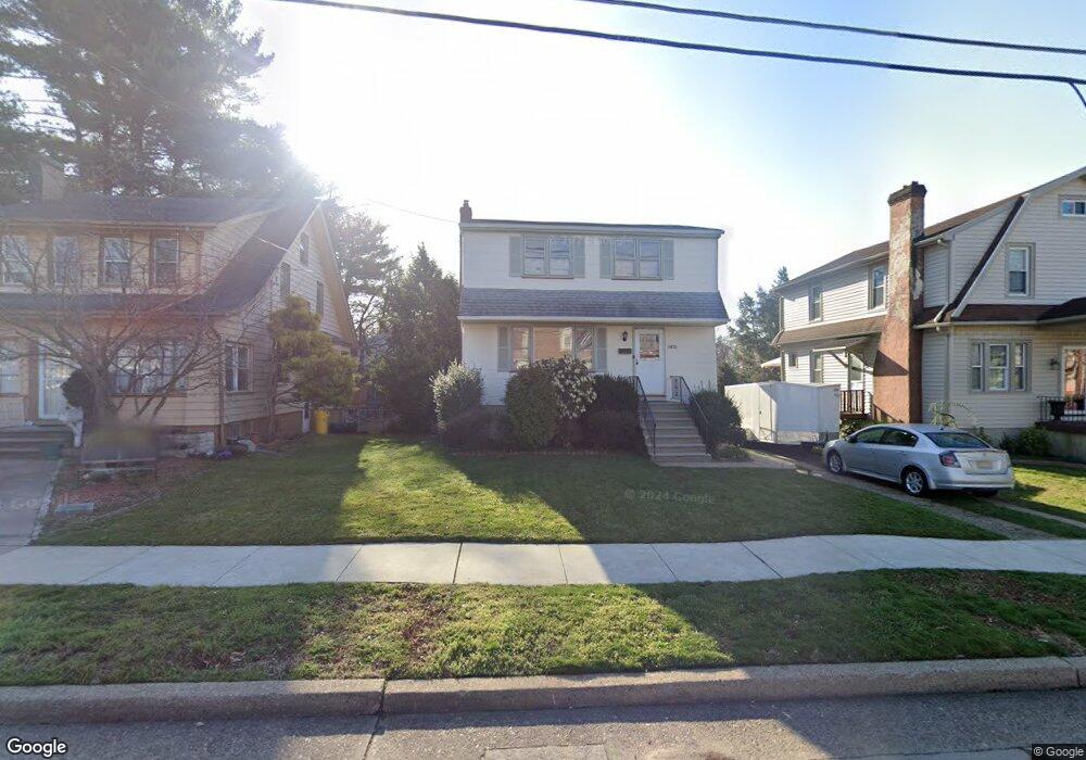
4822 Browning Rd Pennsauken, NJ 08109
Estimated Value: $250,557 - $312,000
--
Bed
--
Bath
1,225
Sq Ft
$233/Sq Ft
Est. Value
About This Home
This home is located at 4822 Browning Rd, Pennsauken, NJ 08109 and is currently estimated at $285,639, approximately $233 per square foot. 4822 Browning Rd is a home located in Camden County with nearby schools including Pennsauken High School, St. Peter Elementary School, and Camden Forward School.
Ownership History
Date
Name
Owned For
Owner Type
Purchase Details
Closed on
Jun 9, 2016
Sold by
Mccracken Josephine T and Popelak Josephine
Bought by
Popelak Patricia M
Current Estimated Value
Home Financials for this Owner
Home Financials are based on the most recent Mortgage that was taken out on this home.
Original Mortgage
$85,000
Interest Rate
3.41%
Mortgage Type
New Conventional
Purchase Details
Closed on
Jun 13, 2014
Sold by
Estate Of James W Mccracken
Bought by
Estate Of Josephine T Mccracken
Create a Home Valuation Report for This Property
The Home Valuation Report is an in-depth analysis detailing your home's value as well as a comparison with similar homes in the area
Home Values in the Area
Average Home Value in this Area
Purchase History
| Date | Buyer | Sale Price | Title Company |
|---|---|---|---|
| Popelak Patricia M | $125,000 | Foudation Title Llc | |
| Estate Of Josephine T Mccracken | -- | None Available |
Source: Public Records
Mortgage History
| Date | Status | Borrower | Loan Amount |
|---|---|---|---|
| Previous Owner | Popelak Patricia M | $85,000 |
Source: Public Records
Tax History Compared to Growth
Tax History
| Year | Tax Paid | Tax Assessment Tax Assessment Total Assessment is a certain percentage of the fair market value that is determined by local assessors to be the total taxable value of land and additions on the property. | Land | Improvement |
|---|---|---|---|---|
| 2025 | $5,636 | $259,000 | $54,000 | $205,000 |
| 2024 | $5,527 | $129,500 | $40,500 | $89,000 |
| 2023 | $5,527 | $129,500 | $40,500 | $89,000 |
| 2022 | $4,997 | $129,500 | $40,500 | $89,000 |
| 2021 | $5,132 | $129,500 | $40,500 | $89,000 |
| 2020 | $4,597 | $129,500 | $40,500 | $89,000 |
| 2019 | $4,650 | $129,500 | $40,500 | $89,000 |
| 2018 | $4,675 | $129,500 | $40,500 | $89,000 |
| 2017 | $4,684 | $129,500 | $40,500 | $89,000 |
| 2016 | $4,600 | $129,500 | $40,500 | $89,000 |
| 2015 | $4,737 | $129,500 | $40,500 | $89,000 |
| 2014 | $4,244 | $85,300 | $21,500 | $63,800 |
Source: Public Records
Map
Nearby Homes
- 4817 Browning Rd
- 4749 Poplar Ave
- 4782 Lafayette Ave
- 4908 Laurel Ave
- 220 Volans St
- 320 W Maple Ave
- 4616 Woodland Ave
- 5131 Garfield Ave
- 3241 N 48th St
- 3619 Fremont Ave
- 2446 46th St
- 2404 42nd St
- 4116 Burwood Ave
- 6402 Browning Rd
- 3733 Drexel Ave
- 5445 Homestead Ave
- 6324 Roosevelt Ave
- 3300 Springfield Ave
- 2240 40th St
- 5532 Whitman Terrace
- 4828 Browning Rd
- 4816 Browning Rd
- 4825 Caroline Ave
- 4834 Browning Rd
- 5021 Clayton Ave
- 5010 Russell Ave
- 4827 Browning Rd
- 4819 Browning Rd
- 4772 Poplar Ave
- 5302 Browning Rd
- 4811 Browning Rd
- 5035 Clayton Ave
- 4818 Caroline Ave
- 4771 Poplar Ave Unit 73
- 4749 Caroline Ave
- 5022 Clayton Ave
- 5036 Russell Ave
- 4752 Browning Rd
- 4793 W End Ave
- 4771-73 Poplar Ave