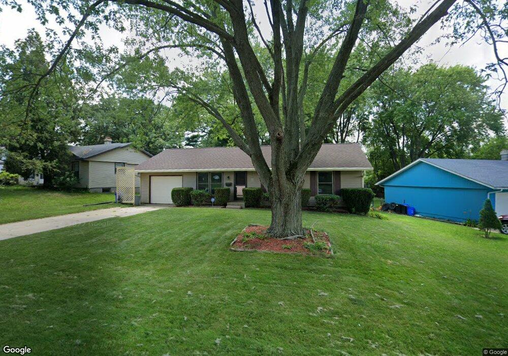
4823 Waukegan Dr Rockford, IL 61108
Estimated Value: $151,000 - $184,000
3
Beds
2
Baths
1,160
Sq Ft
$146/Sq Ft
Est. Value
About This Home
This home is located at 4823 Waukegan Dr, Rockford, IL 61108 and is currently estimated at $169,345, approximately $145 per square foot. 4823 Waukegan Dr is a home located in Winnebago County with nearby schools including A C Thompson Elementary School, Bernard W. Flinn Middle School, and Rockford East High School.
Ownership History
Date
Name
Owned For
Owner Type
Purchase Details
Closed on
Aug 21, 2024
Sold by
Vick Paul H and Vick Renee L
Bought by
Paul And Renee Vick Living Trust and Vick
Current Estimated Value
Purchase Details
Closed on
Jul 19, 2024
Sold by
Welter David A and Welter Sharron L
Bought by
David And Sharron Welter Living Trust and Welter
Purchase Details
Closed on
Jun 14, 2001
Bought by
Vick Paul H and Vick Renee L
Create a Home Valuation Report for This Property
The Home Valuation Report is an in-depth analysis detailing your home's value as well as a comparison with similar homes in the area
Home Values in the Area
Average Home Value in this Area
Purchase History
| Date | Buyer | Sale Price | Title Company |
|---|---|---|---|
| Paul And Renee Vick Living Trust | -- | None Listed On Document | |
| David And Sharron Welter Living Trust | -- | None Listed On Document | |
| Vick Paul H | $85,000 | -- |
Source: Public Records
Tax History Compared to Growth
Tax History
| Year | Tax Paid | Tax Assessment Tax Assessment Total Assessment is a certain percentage of the fair market value that is determined by local assessors to be the total taxable value of land and additions on the property. | Land | Improvement |
|---|---|---|---|---|
| 2024 | $3,294 | $40,762 | $5,616 | $35,146 |
| 2023 | $3,109 | $35,942 | $4,952 | $30,990 |
| 2022 | $2,589 | $28,662 | $4,426 | $24,236 |
| 2021 | $2,486 | $26,281 | $4,058 | $22,223 |
| 2020 | $2,423 | $24,845 | $3,836 | $21,009 |
| 2019 | $2,369 | $23,680 | $3,656 | $20,024 |
| 2018 | $2,554 | $24,033 | $3,446 | $20,587 |
| 2017 | $2,522 | $23,000 | $3,298 | $19,702 |
| 2016 | $2,503 | $22,569 | $3,236 | $19,333 |
| 2015 | $2,534 | $22,569 | $3,236 | $19,333 |
| 2014 | $3,446 | $28,814 | $4,050 | $24,764 |
Source: Public Records
Map
Nearby Homes
- 4805 Waukegan Dr
- 2225 Welworth Ave
- 5334 Dierks Dr Unit 12
- 5384 Dierks Dr
- 5384 Dierks Dr Unit 17
- 4216 Dakota Ln
- 69XX Charles St
- 3928 Seward Ave
- 1721 Nixon Ct
- 3713 Connecticut Dr
- 1529 Kerstin Ct
- 5015 Valentine Place
- 5008 Valentine Place
- 3520 Thelma St
- 2715 Colorado Ave
- 1210 Woodridge Dr
- 3419 Green Dale Dr
- 3511 Carolina Ave
- 1223 Esmond Dr
- 2419 Mandrake Dr
- 4903 Waukegan Dr
- 4815 Waukegan Dr
- 4809 Waukegan Dr
- 4909 Waukegan Dr
- 2404 Eggleston Ct
- 4820 Waukegan Dr
- 4904 Waukegan Dr
- 4915 Waukegan Dr
- 2401 Eggleston Ct
- 2414 Eggleston Ct
- 4814 Waukegan Dr
- 2325 Eggleston Rd
- 4912 Waukegan Dr
- 4810 Waukegan Dr
- 4919 Waukegan Dr
- 2328 Eggleston Rd
- 2502 Skokie Dr
- 4920 Waukegan Dr
- 4806 Waukegan Dr
- 2319 Eggleston Rd