Estimated Value: $187,000 - $387,000
3
Beds
3
Baths
2,300
Sq Ft
$120/Sq Ft
Est. Value
About This Home
This home is located at 4825 Us Highway 82 W, Ty Ty, GA 31795 and is currently estimated at $275,610, approximately $119 per square foot. 4825 Us Highway 82 W is a home located in Tift County with nearby schools including Annie Belle Clark Primary School, Matt Wilson Elementary School, and J.T. Reddick School.
Ownership History
Date
Name
Owned For
Owner Type
Purchase Details
Closed on
Aug 1, 2019
Sold by
Dowdney Ronald
Bought by
The Ronald Dowdney And Betty Adair Rev L
Current Estimated Value
Purchase Details
Closed on
Nov 22, 2016
Sold by
Ronald O
Bought by
Harbula Joseph and Giga Carol Ann
Purchase Details
Closed on
Aug 20, 2008
Sold by
Hill Kenneth R
Bought by
Dowdney Ronald O
Home Financials for this Owner
Home Financials are based on the most recent Mortgage that was taken out on this home.
Original Mortgage
$192,000
Interest Rate
6.61%
Mortgage Type
New Conventional
Purchase Details
Closed on
Jun 27, 1995
Sold by
Malcom Maudie
Bought by
Hill Kenneth R
Create a Home Valuation Report for This Property
The Home Valuation Report is an in-depth analysis detailing your home's value as well as a comparison with similar homes in the area
Home Values in the Area
Average Home Value in this Area
Purchase History
| Date | Buyer | Sale Price | Title Company |
|---|---|---|---|
| The Ronald Dowdney And Betty Adair Rev L | -- | -- | |
| Harbula Joseph | -- | -- | |
| Dowdney Ronald O | $240,000 | -- | |
| Hill Kenneth R | $29,600 | -- |
Source: Public Records
Mortgage History
| Date | Status | Borrower | Loan Amount |
|---|---|---|---|
| Previous Owner | Dowdney Ronald O | $192,000 | |
| Previous Owner | Dowdney Ronald O | $146,402 |
Source: Public Records
Tax History Compared to Growth
Tax History
| Year | Tax Paid | Tax Assessment Tax Assessment Total Assessment is a certain percentage of the fair market value that is determined by local assessors to be the total taxable value of land and additions on the property. | Land | Improvement |
|---|---|---|---|---|
| 2024 | $1,945 | $96,509 | $10,771 | $85,738 |
| 2023 | $2,109 | $71,852 | $11,525 | $60,327 |
| 2022 | $1,915 | $71,852 | $11,525 | $60,327 |
| 2021 | $2,086 | $71,852 | $11,525 | $60,327 |
| 2020 | $2,125 | $71,852 | $11,525 | $60,327 |
| 2019 | $2,121 | $71,852 | $11,525 | $60,327 |
| 2018 | $2,118 | $71,852 | $11,525 | $60,327 |
| 2017 | $2,128 | $71,852 | $11,525 | $60,327 |
| 2016 | $2,123 | $71,619 | $13,089 | $58,530 |
| 2015 | $2,123 | $71,619 | $13,089 | $58,530 |
| 2014 | $2,128 | $71,619 | $13,089 | $58,530 |
| 2013 | -- | $74,025 | $13,088 | $60,936 |
Source: Public Records
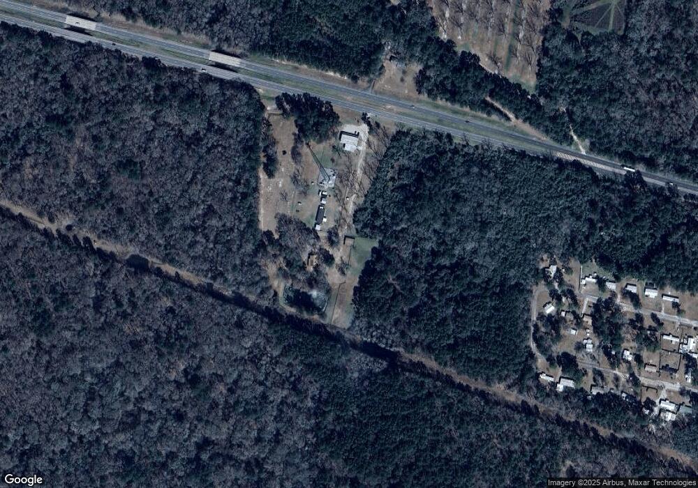
Map
Nearby Homes
- 0 U S 82
- 5.9 ac Cherry St
- 1.91 ac Hwy 82 W Cherry St
- 6 Ilene Glover Rd
- 1.86 ac Highway 82 Cherry St
- Cottle Rd
- 4341 U S 82
- 4341 U S 82
- 0 Jones Rd
- 1583 Gibbs Rd
- 20 Ray Taylor Rd
- 11 Ridgewood Dr
- 11 Edgewater Dr Unit 2
- 11 Edgewater Dr
- 12 Edgewater Dr
- 51 Logan Dr
- 1017 Sumner Rd S
- 11 Fairway Dr
- 500 Willis Rd
- 0 U S Highway 82
- 4825 Us Highway 82 W
- 4831 Us Highway 82 W
- 4831 Us Highway 82 W
- 4826 Us Highway 82 W
- 128 Richardson St
- 131 Richardson St
- 127 Richardson St
- 146 Richardson St
- 120 Richardson St
- 148 Richardson St
- 149 Richardson St
- 117 Richardson St
- 157 Richardson St
- 159 Richardson St
- 110 Richardson St
- 160 Richardson St
- 109 Richardson St
- 161 Richardson St
- 166 Richardson St
- 105 Mangham St