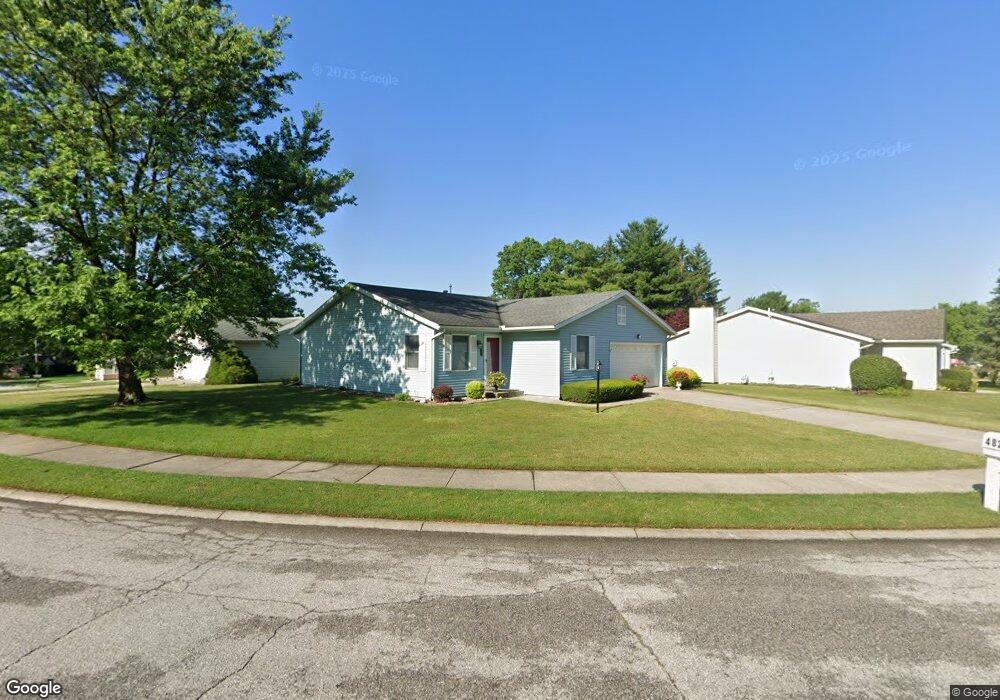
4827 Brora Dr South Bend, IN 46614
Scottsdale NeighborhoodEstimated Value: $211,000 - $242,782
2
Beds
2
Baths
1,372
Sq Ft
$166/Sq Ft
Est. Value
About This Home
This home is located at 4827 Brora Dr, South Bend, IN 46614 and is currently estimated at $228,196, approximately $166 per square foot. 4827 Brora Dr is a home located in St. Joseph County with nearby schools including Marshall Traditional School, Hay Elementary School, and Clay Intermediate Center.
Ownership History
Date
Name
Owned For
Owner Type
Purchase Details
Closed on
Apr 29, 2010
Sold by
Hatin Donald and Hatin Glenda L
Bought by
Hatin Donald and Hatin Glenda L
Current Estimated Value
Purchase Details
Closed on
Nov 13, 2006
Sold by
Andrews Joey
Bought by
Abc
Home Financials for this Owner
Home Financials are based on the most recent Mortgage that was taken out on this home.
Original Mortgage
$100,424
Outstanding Balance
$60,067
Interest Rate
6.41%
Mortgage Type
FHA
Estimated Equity
$168,129
Purchase Details
Closed on
Nov 8, 2006
Sold by
Layne Dottie A and Hatin Glenda Lou
Bought by
Andrews Joey
Home Financials for this Owner
Home Financials are based on the most recent Mortgage that was taken out on this home.
Original Mortgage
$100,424
Outstanding Balance
$60,067
Interest Rate
6.41%
Mortgage Type
FHA
Estimated Equity
$168,129
Create a Home Valuation Report for This Property
The Home Valuation Report is an in-depth analysis detailing your home's value as well as a comparison with similar homes in the area
Home Values in the Area
Average Home Value in this Area
Purchase History
| Date | Buyer | Sale Price | Title Company |
|---|---|---|---|
| Hatin Donald | -- | None Available | |
| Abc | -- | None Available | |
| Andrews Joey | -- | None Available |
Source: Public Records
Mortgage History
| Date | Status | Borrower | Loan Amount |
|---|---|---|---|
| Open | Abc | $100,424 |
Source: Public Records
Tax History Compared to Growth
Tax History
| Year | Tax Paid | Tax Assessment Tax Assessment Total Assessment is a certain percentage of the fair market value that is determined by local assessors to be the total taxable value of land and additions on the property. | Land | Improvement |
|---|---|---|---|---|
| 2024 | $2,031 | $237,100 | $64,500 | $172,600 |
| 2023 | $1,949 | $207,000 | $64,400 | $142,600 |
| 2022 | $1,949 | $207,000 | $64,400 | $142,600 |
| 2021 | $1,954 | $161,900 | $31,600 | $130,300 |
| 2020 | $1,722 | $143,500 | $28,000 | $115,500 |
| 2019 | $1,471 | $142,800 | $27,300 | $115,500 |
| 2018 | $1,210 | $103,200 | $22,100 | $81,100 |
| 2017 | $1,214 | $100,800 | $22,100 | $78,700 |
| 2016 | $1,232 | $100,800 | $22,100 | $78,700 |
| 2014 | $1,049 | $89,900 | $10,500 | $79,400 |
Source: Public Records
Map
Nearby Homes
- 1957 Broadford Dr
- 1951 Broadford Dr
- 1725 Thornhill Dr
- 1719 Thornhill Dr
- 4555 Macdougall Ct
- 1515 Strathmore Ct
- 4312 Sampson St
- 4909 Selkirk Dr
- 1512 Oakdale Dr
- 17746 Hartman St
- 1417 Orkney Ct
- 1413 Orkney Ct
- 1426 Oakdale Dr
- 4039 Coral Dr
- 4028 Coral Dr
- 4015 Coral Dr
- 4108 Woodvale Dr
- 1834 Saint Michaels Ct
- 5541 Deer Hollow Dr
- 60506 Woodstock Dr
- 1978 Greenock St
- 4833 Brora Dr
- 1972 Greenock St
- 4839 Brora Dr
- 4828 Brora Dr
- 4834 Brora Dr
- 1977 Greenock St
- 1966 Greenock St
- 1989 Greenock St
- 4840 Brora Dr
- 1971 Greenock St
- 4834 Hamilton Ct
- 4846 Brora Dr
- 4847 Brora Dr
- 1965 Greenock St
- 4822 Brora Dr
- 1960 Greenock St
- 4838 Hamilton Ct
- 1967 Thornhill Dr
- 1959 Greenock St