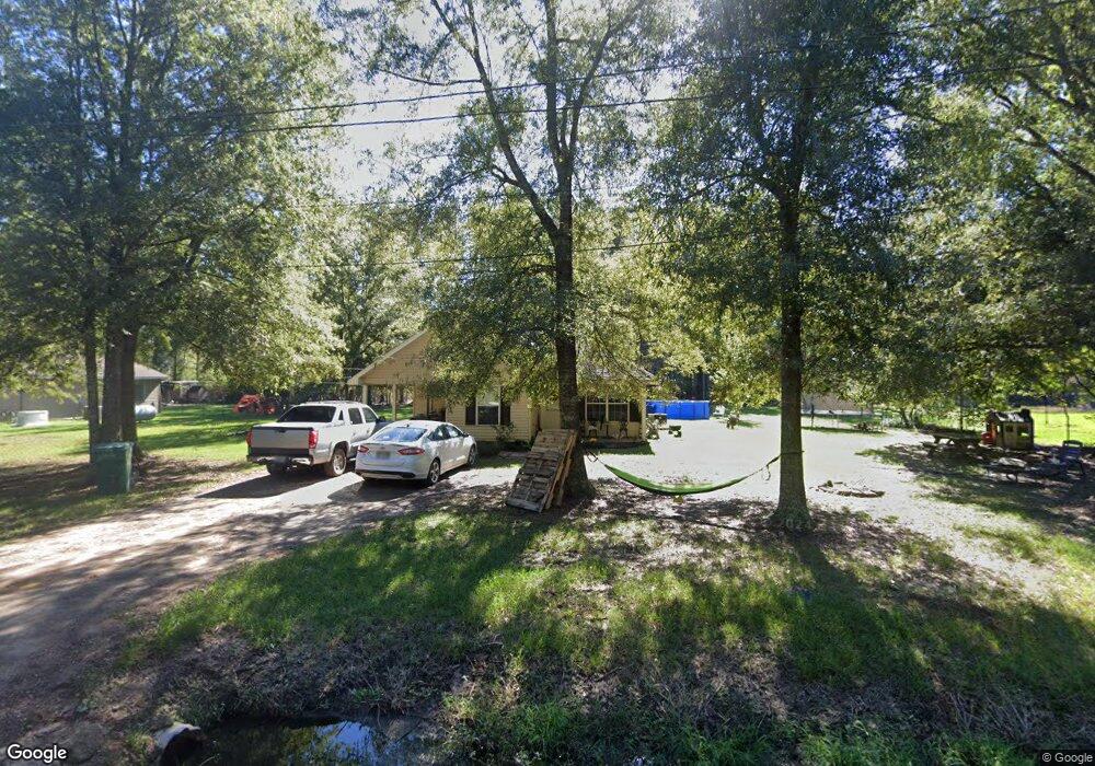
48282 Robertson Rd Tickfaw, LA 70466
Estimated Value: $126,000 - $211,000
3
Beds
2
Baths
1,163
Sq Ft
$155/Sq Ft
Est. Value
About This Home
This home is located at 48282 Robertson Rd, Tickfaw, LA 70466 and is currently estimated at $180,354, approximately $155 per square foot. 48282 Robertson Rd is a home located in Tangipahoa Parish with nearby schools including Midway Elementary School, Natalbany Middle School, and Hammond High Magnet School.
Ownership History
Date
Name
Owned For
Owner Type
Purchase Details
Closed on
Nov 28, 2007
Sold by
Cooper Lisa Ann Wilson
Bought by
Perilloux Andre Michael
Current Estimated Value
Home Financials for this Owner
Home Financials are based on the most recent Mortgage that was taken out on this home.
Original Mortgage
$139,900
Outstanding Balance
$88,413
Interest Rate
6.27%
Mortgage Type
New Conventional
Estimated Equity
$91,941
Purchase Details
Closed on
Jun 8, 2005
Sold by
North American Properties Llc
Bought by
Colmac No 1 Inc
Create a Home Valuation Report for This Property
The Home Valuation Report is an in-depth analysis detailing your home's value as well as a comparison with similar homes in the area
Home Values in the Area
Average Home Value in this Area
Purchase History
| Date | Buyer | Sale Price | Title Company |
|---|---|---|---|
| Perilloux Andre Michael | $139,900 | None Available | |
| Colmac No 1 Inc | $229 | None Available |
Source: Public Records
Mortgage History
| Date | Status | Borrower | Loan Amount |
|---|---|---|---|
| Open | Perilloux Andre Michael | $139,900 |
Source: Public Records
Tax History
| Year | Tax Paid | Tax Assessment Tax Assessment Total Assessment is a certain percentage of the fair market value that is determined by local assessors to be the total taxable value of land and additions on the property. | Land | Improvement |
|---|---|---|---|---|
| 2024 | $824 | $9,545 | $864 | $8,681 |
| 2023 | $834 | $9,572 | $800 | $8,772 |
| 2022 | $834 | $9,572 | $800 | $8,772 |
| 2021 | $186 | $9,572 | $800 | $8,772 |
| 2020 | $834 | $9,572 | $800 | $8,772 |
| 2019 | $831 | $9,572 | $800 | $8,772 |
| 2018 | $834 | $9,572 | $800 | $8,772 |
| 2017 | $834 | $9,572 | $800 | $8,772 |
| 2016 | $834 | $9,572 | $800 | $8,772 |
| 2015 | $205 | $9,846 | $800 | $9,046 |
| 2014 | $190 | $9,846 | $800 | $9,046 |
Source: Public Records
Map
Nearby Homes
- 48270 Robertson Rd
- 48294 Robertson Rd
- 48324 Robertson Rd
- 48226 Gabrielle Ct Unit 28
- 48249 Gabrielle Ct Unit 8
- 48253 Gabrielle Ct Unit 5
- 48229 Gabrielle Ct Unit 17
- 48257 Gabrielle Ct Unit 4
- 48237 Gabrielle Ct Unit 13
- 48233 Gabrielle Ct Unit 15
- 48241 Gabrielle Ct Unit 12
- 48232 Gabrielle Ct Unit 26
- 48225 Gabrielle Ct Unit 20
- 48238 Gabrielle Ct Unit 23
- 48226 Gabrielle Ct Unit 3
- 48226 Gabrielle Ct Unit 27
- 48352 Robertson Rd
- 48256 Robertson Rd
- 48343 Robertson Rd
- 48240 Robertson Rd