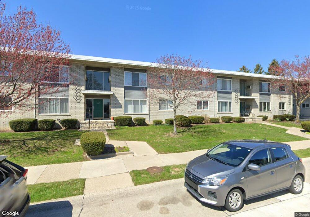
4829 Mansfield Ave Royal Oak, MI 48073
Estimated Value: $113,000 - $137,000
2
Beds
1
Bath
733
Sq Ft
$169/Sq Ft
Est. Value
About This Home
This home is located at 4829 Mansfield Ave, Royal Oak, MI 48073 and is currently estimated at $124,195, approximately $169 per square foot. 4829 Mansfield Ave is a home located in Oakland County with nearby schools including Alfred E. Upton Elementary School, Royal Oak Middle School, and Royal Oak High School.
Ownership History
Date
Name
Owned For
Owner Type
Purchase Details
Closed on
Jun 30, 2022
Sold by
Lin and Hui-Mei
Bought by
Haddad Tareq
Current Estimated Value
Home Financials for this Owner
Home Financials are based on the most recent Mortgage that was taken out on this home.
Original Mortgage
$85,500
Outstanding Balance
$72,288
Interest Rate
4.92%
Mortgage Type
New Conventional
Estimated Equity
$51,907
Purchase Details
Closed on
Jan 30, 2004
Sold by
Chaney Terry L and Chaney Marcie
Bought by
Lin Chi Dar and Lin Hui Mei
Create a Home Valuation Report for This Property
The Home Valuation Report is an in-depth analysis detailing your home's value as well as a comparison with similar homes in the area
Home Values in the Area
Average Home Value in this Area
Purchase History
| Date | Buyer | Sale Price | Title Company |
|---|---|---|---|
| Haddad Tareq | $90,000 | None Listed On Document | |
| Lin Chi Dar | $76,000 | -- |
Source: Public Records
Mortgage History
| Date | Status | Borrower | Loan Amount |
|---|---|---|---|
| Open | Haddad Tareq | $85,500 |
Source: Public Records
Tax History Compared to Growth
Tax History
| Year | Tax Paid | Tax Assessment Tax Assessment Total Assessment is a certain percentage of the fair market value that is determined by local assessors to be the total taxable value of land and additions on the property. | Land | Improvement |
|---|---|---|---|---|
| 2024 | $1,317 | $47,240 | $0 | $0 |
| 2022 | $1,011 | $40,930 | $0 | $0 |
| 2020 | $1,280 | $38,250 | $0 | $0 |
| 2018 | $1,011 | $30,480 | $0 | $0 |
| 2017 | $919 | $30,480 | $0 | $0 |
| 2015 | -- | $21,550 | $0 | $0 |
| 2014 | -- | $19,690 | $0 | $0 |
| 2011 | -- | $15,720 | $0 | $0 |
Source: Public Records
Map
Nearby Homes
- 4830 Briarwood Ave Unit 2
- 4859 Mansfield Ave Unit H5
- 4820 Briarwood Ave Unit 4
- 4840 Briarwood Ave Unit 8
- 2306 W 14 Mile Rd Unit 14
- 2356 W 14 Mile Rd Unit 1
- 2420 Parmenter Blvd Unit 101
- 2440 Parmenter Blvd Unit 112
- 2425 Torquay Ave Unit 101A
- 4625 Leafdale Ave
- 4921 Crooks Rd Unit M-10
- 4909 Crooks Rd Unit C7
- 4909 Crooks Rd Unit E8
- 4909 Crooks Rd Unit 4
- 4921 N Crooks Rd Unit N-10
- 1823 Torquay Ave
- 1807 Samoset Rd
- 2134 Wickham St
- 1936 Torquay Ave Unit 205
- 2511 Massoit Rd
- 4829 Mansfield Ave
- 4829 Mansfield Ave
- 4829 Mansfield Ave
- 4829 Mansfield Ave Unit 3
- 4829 Mansfield Ave Unit G, 4
- 4829 Mansfield Ave Unit 4
- 4829 Mansfield Ave Unit Bldg G, Unit 4
- 4829 Mansfield Ave Unit Bldg
- 4829 Mansfield Ave Unit 4
- 4850 Briarwood Ave Unit B 5
- 4859 Mansfield Ave
- 4859 Mansfield Ave
- 4909 Mansfield Ave
- 4909 Mansfield Ave
- 4919 Mansfield Ave
- 4859 Mansfield Ave
- 4859 Mansfield Ave
- 4909 Mansfield Ave
- 4909 Mansfield Ave
- 4919 Mansfield Ave