483 Currahee Point Toccoa, GA 30577
Estimated Value: $863,000 - $1,053,000
4
Beds
5
Baths
4,200
Sq Ft
$227/Sq Ft
Est. Value
About This Home
This home is located at 483 Currahee Point, Toccoa, GA 30577 and is currently estimated at $955,079, approximately $227 per square foot. 483 Currahee Point is a home located in Stephens County with nearby schools including Stephens County High School.
Ownership History
Date
Name
Owned For
Owner Type
Purchase Details
Closed on
Jul 19, 2013
Sold by
Hart Janelle
Bought by
Crawford Jeff D and Crawford Monica K
Current Estimated Value
Purchase Details
Closed on
Aug 26, 2010
Sold by
Hart Walter
Bought by
Hart Walter
Purchase Details
Closed on
Aug 5, 2010
Sold by
Hart Janelle
Bought by
Hart Walter
Purchase Details
Closed on
Oct 1, 1988
Bought by
Westmoreland Janelle
Create a Home Valuation Report for This Property
The Home Valuation Report is an in-depth analysis detailing your home's value as well as a comparison with similar homes in the area
Home Values in the Area
Average Home Value in this Area
Purchase History
| Date | Buyer | Sale Price | Title Company |
|---|---|---|---|
| Crawford Jeff D | $400,000 | -- | |
| Hart Walter | -- | -- | |
| Hart Walter | -- | -- | |
| Hart Walter | -- | -- | |
| Westmoreland Janelle | $130,000 | -- |
Source: Public Records
Tax History Compared to Growth
Tax History
| Year | Tax Paid | Tax Assessment Tax Assessment Total Assessment is a certain percentage of the fair market value that is determined by local assessors to be the total taxable value of land and additions on the property. | Land | Improvement |
|---|---|---|---|---|
| 2025 | $5,863 | $213,599 | $76,440 | $137,159 |
| 2024 | $5,169 | $169,744 | $76,440 | $93,304 |
| 2023 | $4,991 | $163,925 | $76,440 | $87,485 |
| 2022 | $4,755 | $159,724 | $76,440 | $83,284 |
| 2021 | $4,879 | $156,044 | $76,554 | $79,490 |
| 2020 | $4,911 | $155,518 | $76,554 | $78,964 |
| 2019 | $4,931 | $155,518 | $76,554 | $78,964 |
| 2018 | $4,888 | $154,132 | $76,554 | $77,578 |
| 2017 | $4,965 | $154,132 | $76,554 | $77,578 |
| 2016 | $4,888 | $154,132 | $76,554 | $77,578 |
| 2015 | $5,118 | $154,116 | $76,554 | $77,562 |
| 2014 | $5,189 | $153,715 | $76,554 | $77,161 |
| 2013 | -- | $166,834 | $76,554 | $90,280 |
Source: Public Records
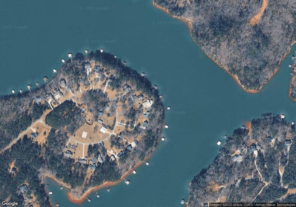
Map
Nearby Homes
- 604 Mckinney Way
- 49 Currahee Point
- 287 Spring Branch Cir
- 0 Oliver Rd Unit 20284767
- 0 Oliver Rd Unit 1550308
- 455 Chase Landing Rd
- Lot 34 Stillwater Place
- 3 Lost Forest Dr
- 223 Brookside Dr
- 004 Brookside Dr Unit 10A
- Lot 9 Block A Brookside Dr
- 1 Brookside Dr
- 02 Wood Valley Dr
- 0 Wildwood Trail
- 0 Springview Dr Unit 22886896
- 0 Springview Dr Unit 21515079
- 0 Springview Dr Unit 20283368
- 0 Springview Dr Unit 18549576
- 0 Springview Dr Unit 20283367
- Lot 6 Lost Forest Dr
- 487 Currahee Point
- 499 Currahee Point
- 453 Currahee Point
- 505 Currahee Point
- 431 Currahee Point
- 472 Currahee Point
- 525 Currahee Point
- 419 Currahee Point
- 142 Currahee Point
- 540 Currahee Point
- 543 Currahee Point
- 411 Currahee Point
- 572 Currahee Point
- 553 Currahee Point
- 364 Currahee Point
- 0 Currahee Pt Cir E Unit LOT 9 7146027
- 604 Currahee Point
- 565 Currahee Point
- 371 Currahee Point
- 589 Currahee Point