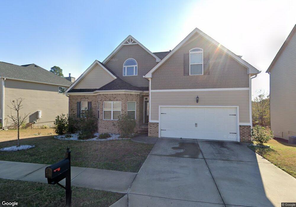
483 Henslowe Ln West Columbia, SC 29170
Edmund NeighborhoodEstimated Value: $391,171 - $423,000
4
Beds
4
Baths
2,964
Sq Ft
$136/Sq Ft
Est. Value
About This Home
This home is located at 483 Henslowe Ln, West Columbia, SC 29170 and is currently estimated at $403,043, approximately $135 per square foot. 483 Henslowe Ln is a home located in Lexington County with nearby schools including Saxe Gotha Elementary School, White Knoll Middle School, and White Knoll High School.
Ownership History
Date
Name
Owned For
Owner Type
Purchase Details
Closed on
Apr 22, 2016
Sold by
Dr Horton Crown Llc
Bought by
Onuoha Berthrand C
Current Estimated Value
Home Financials for this Owner
Home Financials are based on the most recent Mortgage that was taken out on this home.
Original Mortgage
$261,000
Outstanding Balance
$192,864
Interest Rate
3.73%
Mortgage Type
New Conventional
Estimated Equity
$210,179
Purchase Details
Closed on
Jan 29, 2016
Sold by
Dr Horton Crown Llc
Bought by
Dr Horton Inc
Purchase Details
Closed on
Sep 14, 2015
Sold by
Lake Frances Development Inc
Bought by
Dr Horton Inc
Create a Home Valuation Report for This Property
The Home Valuation Report is an in-depth analysis detailing your home's value as well as a comparison with similar homes in the area
Home Values in the Area
Average Home Value in this Area
Purchase History
| Date | Buyer | Sale Price | Title Company |
|---|---|---|---|
| Onuoha Berthrand C | $261,000 | None Available | |
| Dr Horton Inc | -- | Attorney | |
| Dr Horton Inc | $100,384 | -- |
Source: Public Records
Mortgage History
| Date | Status | Borrower | Loan Amount |
|---|---|---|---|
| Open | Onuoha Berthrand C | $261,000 |
Source: Public Records
Tax History Compared to Growth
Tax History
| Year | Tax Paid | Tax Assessment Tax Assessment Total Assessment is a certain percentage of the fair market value that is determined by local assessors to be the total taxable value of land and additions on the property. | Land | Improvement |
|---|---|---|---|---|
| 2024 | $1,746 | $10,716 | $1,440 | $9,276 |
| 2023 | $1,601 | $10,716 | $1,440 | $9,276 |
| 2020 | $1,637 | $10,716 | $1,440 | $9,276 |
| 2019 | $1,623 | $10,440 | $1,584 | $8,856 |
| 2018 | $1,593 | $10,440 | $1,584 | $8,856 |
| 2017 | $1,545 | $10,440 | $1,584 | $8,856 |
| 2016 | $54 | $372 | $372 | $0 |
| 2015 | -- | $558 | $558 | $0 |
| 2014 | -- | $0 | $0 | $0 |
Source: Public Records
Map
Nearby Homes
- 504 Henslowe Ln
- 465 Henslowe Ln
- 458 Laurel Mist Ln
- 450 Laurel Mist Ln
- 108 Laurel Hill Dr
- 114 Hickory Knob Ct
- 513 Wellmont Ct
- 420 Congaree Ridge Ct
- 227 Turnfield Dr
- 4974 Platt Springs Rd
- 154 Kyle Rd
- 7044 and 7038 Platt Springs Rd
- 2144 Scenic Dr
- 5119 Backman Ave
- 194 Eargle Dr
- 128 Sandy Springs Ln
- 1307 Main St
- 113 Eagleview Dr
- 139 Cross Rd
- 112 Chethan Cir
- 487 Henslowe Ln
- 479 Henslowe Ln
- 334 Lake Frances Dr
- 330 Lake Frances Dr
- 491 Henslowe Ln
- 475 Henslowe Ln
- 338 Lake Frances Dr
- 381 Ashburton Ln
- 495 Henslowe Ln
- 326 Lake Frances Dr
- 471 Henslowe Ln
- 377 Ashburton Ln
- 508 Henslowe Ln
- 342 Lake Frances Dr
- 371 Ashburton Ln
- 499 Henslowe Ln
- 474 Henslowe Ln
- 335 Lake Frances Dr
- 503 Henslowe Ln
- 467 Henslowe Ln