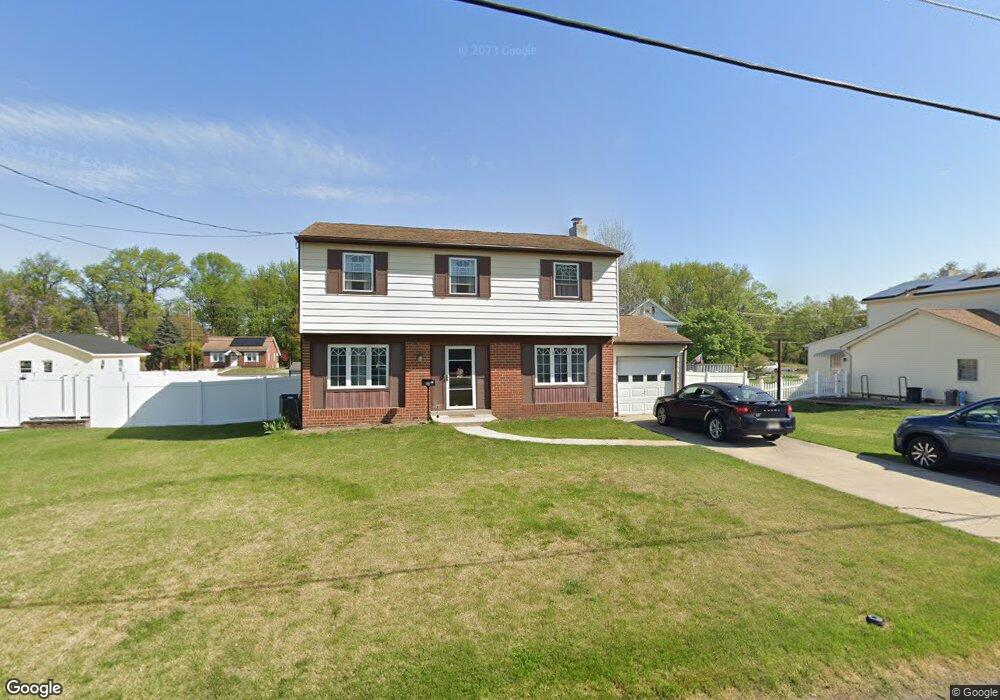
483 Lock Ave Gibbstown, NJ 08027
Estimated Value: $298,855 - $392,000
Studio
--
Bath
1,632
Sq Ft
$221/Sq Ft
Est. Value
About This Home
This home is located at 483 Lock Ave, Gibbstown, NJ 08027 and is currently estimated at $359,964, approximately $220 per square foot. 483 Lock Ave is a home located in Gloucester County with nearby schools including Nehaunsey Middle School and Guardian Angels Regional School.
Create a Home Valuation Report for This Property
The Home Valuation Report is an in-depth analysis detailing your home's value as well as a comparison with similar homes in the area
Home Values in the Area
Average Home Value in this Area
Tax History
| Year | Tax Paid | Tax Assessment Tax Assessment Total Assessment is a certain percentage of the fair market value that is determined by local assessors to be the total taxable value of land and additions on the property. | Land | Improvement |
|---|---|---|---|---|
| 2025 | $6,215 | $180,500 | $36,500 | $144,000 |
| 2024 | $5,699 | $180,500 | $36,500 | $144,000 |
Source: Public Records
Map
Nearby Homes
- 135 Mellon Ave
- 318 E Broad St
- L18 20 W Broad St
- 1311 Penn Line Rd
- 255 Elizabeth Ave
- 269 W Broad St
- 268 Memorial Ave
- 1043 Penn Line Rd
- 1003 Hoffman Ave
- 227 W Washington St
- 227 W Buck St
- 1224 Heddon Ave
- 205 W Adams St
- 0 Swedesboro Ave Unit NJGL2061592
- 1221 Walter Ave
- 122 W Washington St
- 1534 Pine St
- 1519 Pine St
- 53-55 Roosevelt St
- 157 S School St
Your Personal Tour Guide
Ask me questions while you tour the home.