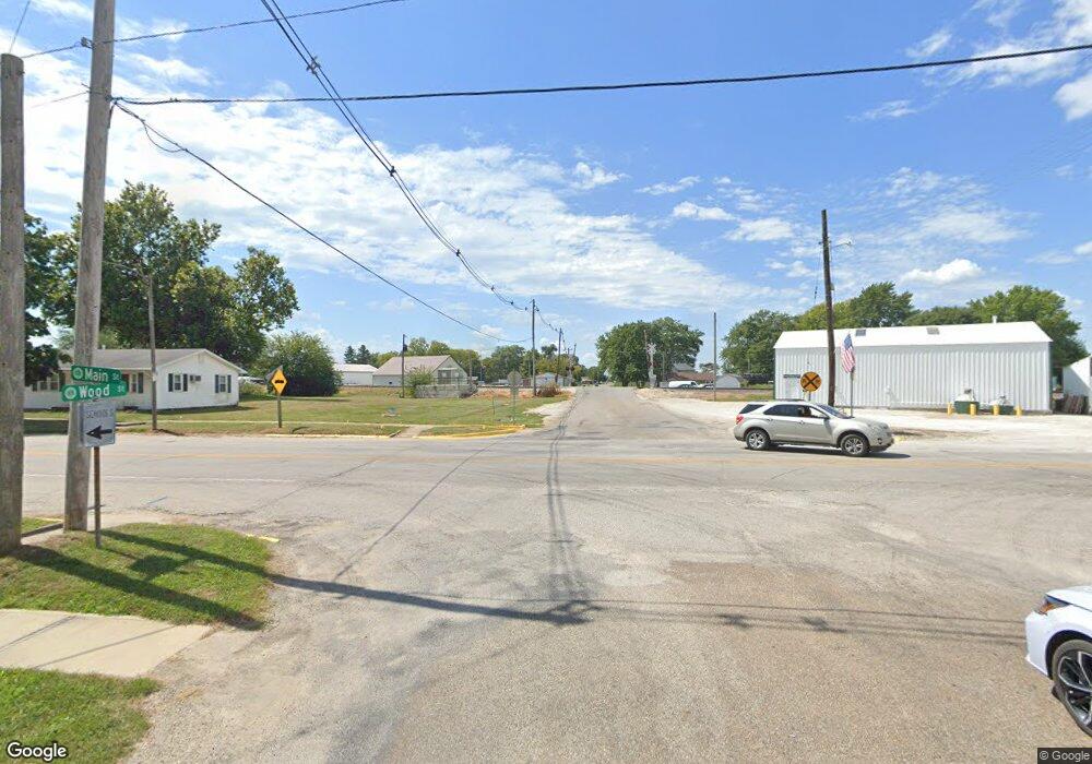
Estimated Value: $193,907 - $277,000
--
Bed
--
Bath
--
Sq Ft
0.49
Acres
About This Home
This home is located at 483 Mockingbird Trail, Avon, IL 61415 and is currently estimated at $238,477. 483 Mockingbird Trail is a home with nearby schools including Avon Elementary School, Hedding Grade School, and Abingdon-Avon Middle School.
Ownership History
Date
Name
Owned For
Owner Type
Purchase Details
Closed on
Jul 14, 2023
Sold by
Koch Amber N and Baker Matthew J
Bought by
Ingrassia Thomas C and Ingrassia Mary W
Current Estimated Value
Purchase Details
Closed on
Sep 7, 2022
Sold by
Dale Bricker
Bought by
Koch Amber N and Baker Matthew J
Home Financials for this Owner
Home Financials are based on the most recent Mortgage that was taken out on this home.
Original Mortgage
$100,000
Interest Rate
5.25%
Mortgage Type
Construction
Purchase Details
Closed on
Mar 26, 2021
Sold by
Bricker Courtney and David Yeoman Estate
Bought by
Bricker Dale and Bricker Courtney
Purchase Details
Closed on
Oct 2, 2015
Sold by
Yeoman David R and Yeoman Larry L
Bought by
Yeoman David R
Create a Home Valuation Report for This Property
The Home Valuation Report is an in-depth analysis detailing your home's value as well as a comparison with similar homes in the area
Home Values in the Area
Average Home Value in this Area
Purchase History
| Date | Buyer | Sale Price | Title Company |
|---|---|---|---|
| Ingrassia Thomas C | -- | None Listed On Document | |
| Koch Amber N | $34,500 | -- | |
| Bricker Dale | -- | None Available | |
| Yeoman David R | -- | Attorney |
Source: Public Records
Mortgage History
| Date | Status | Borrower | Loan Amount |
|---|---|---|---|
| Previous Owner | Koch Amber N | $100,000 |
Source: Public Records
Tax History Compared to Growth
Tax History
| Year | Tax Paid | Tax Assessment Tax Assessment Total Assessment is a certain percentage of the fair market value that is determined by local assessors to be the total taxable value of land and additions on the property. | Land | Improvement |
|---|---|---|---|---|
| 2024 | $4,384 | $55,850 | $1,090 | $54,760 |
| 2023 | $4,384 | $35,320 | $1,030 | $34,290 |
| 2022 | $2,680 | $32,840 | $960 | $31,880 |
| 2021 | $2,595 | $31,850 | $930 | $30,920 |
| 2020 | $2,707 | $31,850 | $930 | $30,920 |
| 2019 | $1,710 | $31,220 | $910 | $30,310 |
| 2018 | $1,727 | $20,450 | $920 | $19,530 |
| 2017 | $1,486 | $30,830 | $900 | $29,930 |
| 2016 | $1,614 | $30,120 | $880 | $29,240 |
| 2015 | -- | $28,990 | $850 | $28,140 |
| 2014 | -- | $28,580 | $840 | $27,740 |
| 2013 | -- | $29,250 | $860 | $28,390 |
Source: Public Records
Map
Nearby Homes
- 358 Mcgrew Dr
- 380 Mcgrew Dr
- 21 Bricker Cir
- 140 Palemino Dr
- 45 Bricker Cir
- 88 Oak Ln
- 897 20th Ave
- 300 S Park St
- 796 60th Ave
- 235 N Smith St
- 307 W Lafayette St
- 208 S Main St
- 306 S Main St
- 108 E Grant St
- 301 E Cortland St
- 305 E Washington St
- 315 E Washington St
- 403 E Woods St
- 34495 N Twin Bridge Rd
- 600 S Main St
- 484 Mockingbird Trail
- 482 Mockingbird Trail
- 479 Mockingbird Trail
- 481 Mockingbird Trail
- 483 Mocking Bird Trail
- 451 Brookhart Bend
- 425 Horseshoe Dr
- 434 Horseshoe Dr
- 469 Brookhart Bend
- 463 Brookhart Bend
- 443 Horseshoe Dr
- 439 Horseshoe Dr
- 468 Brookhart Bend
- 425 Horseshoe Dr
- 477 Mockingbird Trail
- 469 Brookhart Bend
- 418 Mcgrew Dr
- 460 Brookhart Bend
- 401 Mcgrew Dr
- 466 Brookhart Bend
