483 Navajo Trail Kimberling City, MO 65686
Estimated Value: $217,887 - $306,000
--
Bed
--
Bath
1,085
Sq Ft
$258/Sq Ft
Est. Value
About This Home
This home is located at 483 Navajo Trail, Kimberling City, MO 65686 and is currently estimated at $280,472, approximately $258 per square foot. 483 Navajo Trail is a home with nearby schools including Reeds Spring Primary School, Reeds Spring Elementary School, and Reeds Spring Middle School.
Ownership History
Date
Name
Owned For
Owner Type
Purchase Details
Closed on
Dec 31, 2016
Sold by
Corbett Tuimothy M and Corbett Barbara A
Bought by
Kulceski Daniel A and Kulceski Sherry
Current Estimated Value
Purchase Details
Closed on
Apr 2, 2014
Sold by
Kulceski Daniel A and Kulceski Sherry
Bought by
Kulceski Daniel A and Kulceski Sherry
Home Financials for this Owner
Home Financials are based on the most recent Mortgage that was taken out on this home.
Original Mortgage
$175,000
Interest Rate
3.15%
Mortgage Type
Adjustable Rate Mortgage/ARM
Create a Home Valuation Report for This Property
The Home Valuation Report is an in-depth analysis detailing your home's value as well as a comparison with similar homes in the area
Home Values in the Area
Average Home Value in this Area
Purchase History
| Date | Buyer | Sale Price | Title Company |
|---|---|---|---|
| Kulceski Daniel A | -- | None Available | |
| Kulceski Daniel A | -- | None Available |
Source: Public Records
Mortgage History
| Date | Status | Borrower | Loan Amount |
|---|---|---|---|
| Previous Owner | Kulceski Daniel A | $175,000 |
Source: Public Records
Tax History Compared to Growth
Tax History
| Year | Tax Paid | Tax Assessment Tax Assessment Total Assessment is a certain percentage of the fair market value that is determined by local assessors to be the total taxable value of land and additions on the property. | Land | Improvement |
|---|---|---|---|---|
| 2024 | $1,103 | $22,550 | -- | -- |
| 2023 | $1,103 | $22,550 | $0 | $0 |
| 2022 | $1,097 | $22,550 | $0 | $0 |
| 2021 | $1,110 | $22,550 | $0 | $0 |
| 2020 | $978 | $22,550 | $0 | $0 |
| 2019 | $972 | $22,550 | $0 | $0 |
| 2018 | $971 | $22,550 | $0 | $0 |
| 2017 | $972 | $22,550 | $0 | $0 |
| 2016 | $1,878 | $44,780 | $0 | $0 |
| 2015 | $1,882 | $44,780 | $0 | $0 |
| 2014 | $1,850 | $44,780 | $0 | $0 |
| 2012 | -- | $44,780 | $0 | $0 |
Source: Public Records
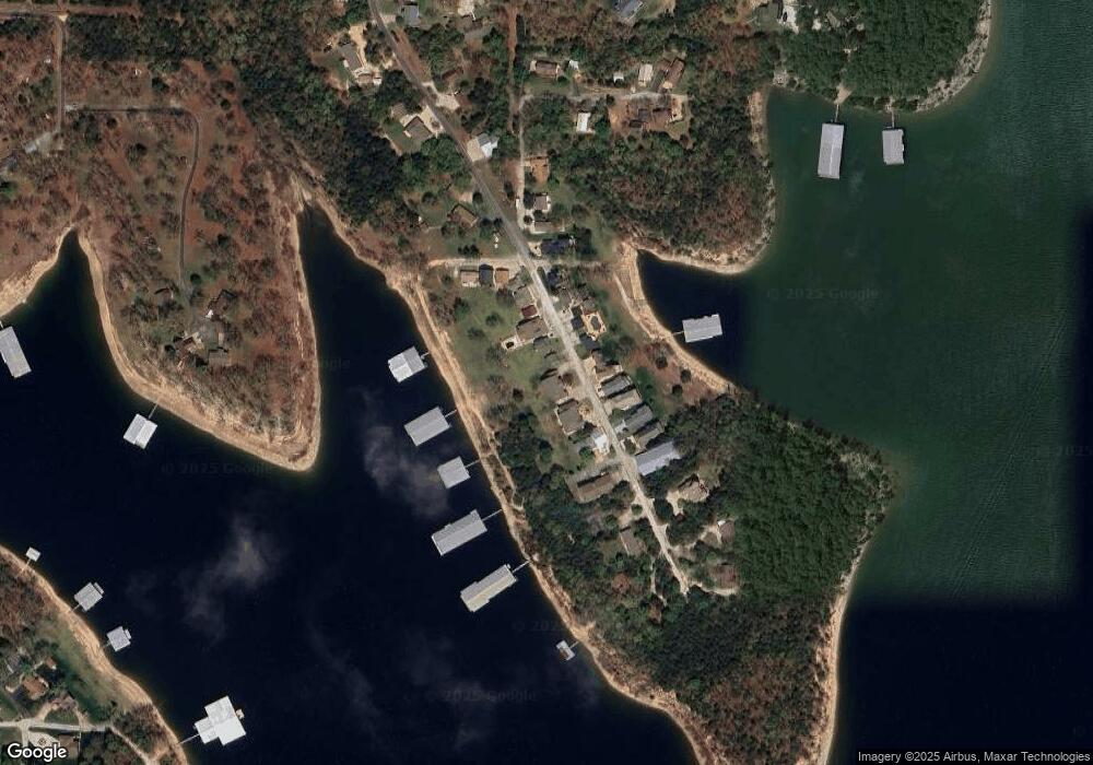
Map
Nearby Homes
- 500 Navajo Trail
- 379 Navajo Trail
- 235 Navajo Trail
- 220 Bittersweet Cir
- 206 Redwing Dr
- 101 Teepee Ln
- 44 Bittersweet Cir
- 64 Deer Park Cir
- 81 Deer Ridge Trail
- 60 Royale Estates Rd
- 65 Royale Estates Rd Unit Lot 29
- 201 Deer Park Cir
- 361 Anchors Point Ln Unit 302
- 404/405 Anchors Point Ln
- Lots 19/3 Overlook
- 60 Montego Dr
- 32 Homewood Ln
- 139 Cherokee Dr
- 516 Anchors Point Ln
- 100 Getaway Cir Unit 152
- 495 Navajo Trail
- 519 Navajo Trail
- 458 Navajo Trail
- 459 Navajo Trail
- 449 Navajo Trail
- 518 Navajo Trail
- 533 Navajo Trail
- 453 Navajo Trail
- 452 Navajo Trail
- 528 Navajo Trail
- 455 Navajo Trail
- 437 Navajo Trail Unit 5a
- 12 Dominic Dr
- 416 Navajo Trail
- 558 Navajo Trail
- 26 Tonto Rim Rd
- 40 Tonto Rim Rd
- 598 Navajo Trail
- 118 Tonto Rim Rd
- 140 Tonto Rim