Estimated Value: $511,000 - $587,000
4
Beds
2
Baths
1,922
Sq Ft
$287/Sq Ft
Est. Value
About This Home
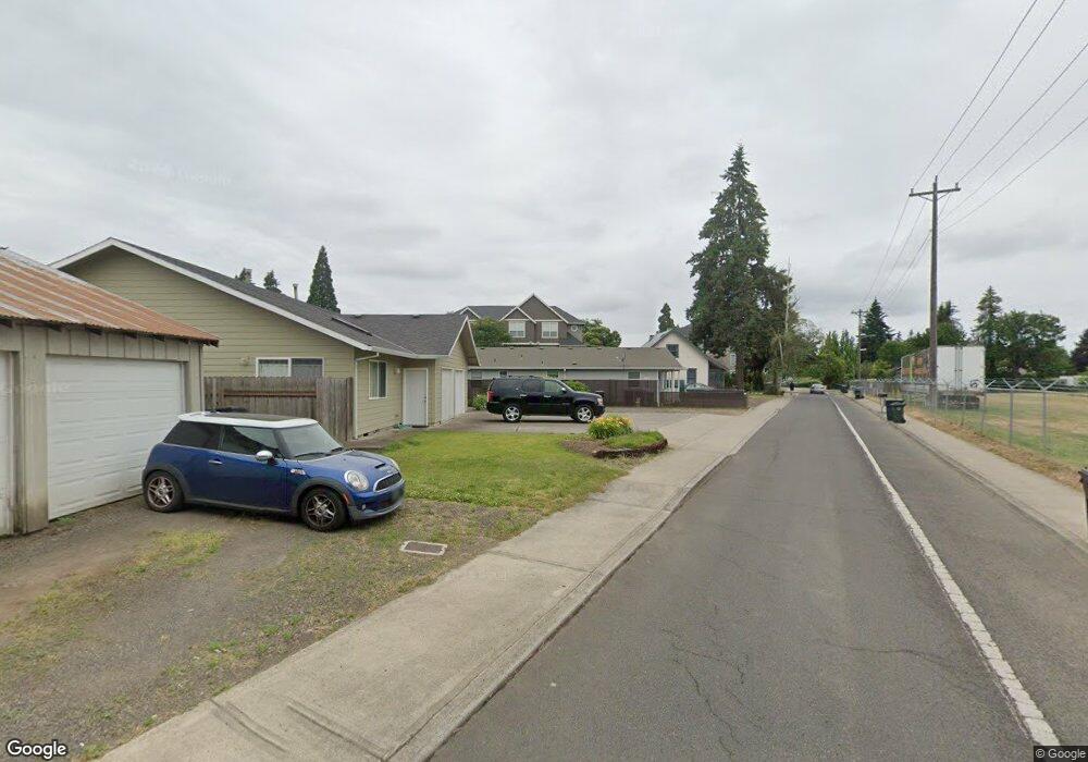
This home is located at 483 NE 4th Ave, Canby, OR 97013 and is currently estimated at $551,633, approximately $287 per square foot. 483 NE 4th Ave is a home with nearby schools including William Knight Elementary School, Baker Prairie Middle School, and Canby High School.
Ownership History
Date
Name
Owned For
Owner Type
Purchase Details
Closed on
Jun 23, 2021
Sold by
Nofziger Leland R and Nofziger Victoria E
Bought by
Nofziger Avery L and Fitzgerald Hannah Vallerinai
Current Estimated Value
Home Financials for this Owner
Home Financials are based on the most recent Mortgage that was taken out on this home.
Original Mortgage
$349,940
Outstanding Balance
$291,527
Interest Rate
2.9%
Mortgage Type
Commercial
Estimated Equity
$260,106
Purchase Details
Closed on
May 27, 2020
Sold by
Nofziger Leland Roy
Bought by
Nofziger Leland R and Nofziger Victoria E
Create a Home Valuation Report for This Property
The Home Valuation Report is an in-depth analysis detailing your home's value as well as a comparison with similar homes in the area
Home Values in the Area
Average Home Value in this Area
Purchase History
| Date | Buyer | Sale Price | Title Company |
|---|---|---|---|
| Nofziger Avery L | $360,120 | Lawyers Title Of Oregon Llc | |
| Nofziger Leland R | -- | None Available |
Source: Public Records
Mortgage History
| Date | Status | Borrower | Loan Amount |
|---|---|---|---|
| Open | Nofziger Avery L | $349,940 |
Source: Public Records
Tax History Compared to Growth
Tax History
| Year | Tax Paid | Tax Assessment Tax Assessment Total Assessment is a certain percentage of the fair market value that is determined by local assessors to be the total taxable value of land and additions on the property. | Land | Improvement |
|---|---|---|---|---|
| 2024 | $5,496 | $309,869 | -- | -- |
| 2023 | $5,496 | $300,844 | $0 | $0 |
| 2022 | $5,055 | $292,082 | $0 | $0 |
| 2021 | $4,868 | $283,575 | $0 | $0 |
| 2020 | $4,781 | $275,316 | $0 | $0 |
| 2019 | $4,553 | $267,298 | $0 | $0 |
| 2018 | $4,451 | $259,513 | $0 | $0 |
| 2017 | $4,338 | $251,954 | $0 | $0 |
| 2016 | $4,194 | $244,616 | $0 | $0 |
| 2015 | $4,050 | $237,491 | $0 | $0 |
| 2014 | $3,933 | $230,574 | $0 | $0 |
Source: Public Records
Map
Nearby Homes
- 595 SE 2nd Ave
- 620 SE 2nd Ave Unit 11
- 620 SE 2nd Ave Unit 42
- 620 SE 2nd Ave
- 620 SE 2nd Ave Unit 12
- 835 SE 1st Ave Unit 36
- 835 SE 1st Ave Unit 12
- 835 SE 1st Ave Unit 64
- 835 SE 1st Ave Unit 10
- 835 SE 1st Ave Unit 15
- 835 SE 1st Ave Unit 14
- 184 NE 10th Ave
- 323 S Locust St
- 257 SE 3rd Ave
- 580 N Grant St
- 142 NE 11th Ave
- 1240 N Juniper St
- 486 S Knott St
- 1111 SE 3rd Ave Unit 74
- 248 SE Township Rd