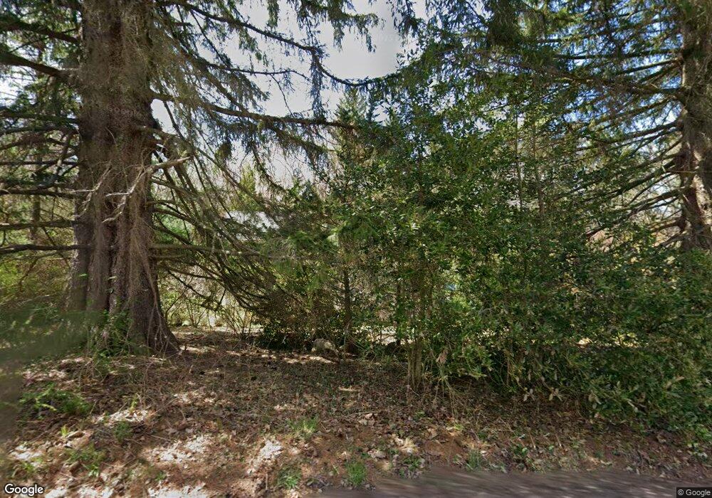
483 Otterhole Rd West Milford, NJ 07480
Estimated Value: $432,000 - $476,618
--
Bed
--
Bath
1,520
Sq Ft
$304/Sq Ft
Est. Value
About This Home
This home is located at 483 Otterhole Rd, West Milford, NJ 07480 and is currently estimated at $462,655, approximately $304 per square foot. 483 Otterhole Rd is a home located in Passaic County with nearby schools including Macopin Middle School and West Milford High School.
Ownership History
Date
Name
Owned For
Owner Type
Purchase Details
Closed on
Aug 29, 2001
Sold by
Wivern Capital Llc
Bought by
Meadows Dale
Current Estimated Value
Home Financials for this Owner
Home Financials are based on the most recent Mortgage that was taken out on this home.
Original Mortgage
$135,200
Interest Rate
6.64%
Purchase Details
Closed on
May 22, 2000
Sold by
Sanders Leo William
Bought by
Wivern Capital Llc
Create a Home Valuation Report for This Property
The Home Valuation Report is an in-depth analysis detailing your home's value as well as a comparison with similar homes in the area
Home Values in the Area
Average Home Value in this Area
Purchase History
| Date | Buyer | Sale Price | Title Company |
|---|---|---|---|
| Meadows Dale | $169,000 | -- | |
| Wivern Capital Llc | $91,000 | -- |
Source: Public Records
Mortgage History
| Date | Status | Borrower | Loan Amount |
|---|---|---|---|
| Previous Owner | Meadows Dale | $135,200 |
Source: Public Records
Tax History Compared to Growth
Tax History
| Year | Tax Paid | Tax Assessment Tax Assessment Total Assessment is a certain percentage of the fair market value that is determined by local assessors to be the total taxable value of land and additions on the property. | Land | Improvement |
|---|---|---|---|---|
| 2025 | $9,786 | $241,400 | $85,300 | $156,100 |
| 2024 | $9,837 | $241,400 | $85,300 | $156,100 |
| 2022 | $8,736 | $241,400 | $85,300 | $156,100 |
| 2021 | $9,137 | $241,400 | $85,300 | $156,100 |
| 2020 | $9,040 | $241,400 | $85,300 | $156,100 |
| 2019 | $8,920 | $241,400 | $85,300 | $156,100 |
| 2018 | $8,898 | $241,400 | $85,300 | $156,100 |
| 2017 | $8,939 | $241,400 | $85,300 | $156,100 |
| 2016 | $8,954 | $241,400 | $85,300 | $156,100 |
| 2015 | $8,850 | $241,400 | $85,300 | $156,100 |
| 2014 | $8,635 | $241,400 | $85,300 | $156,100 |
Source: Public Records
Map
Nearby Homes
- 449 Otterhole Rd
- 3 Broadway
- 0 Post Brook Rd Unit 3952366
- 0 Post Brook Rd Unit 25008921
- 54 Broadway
- 37 Hancock Dr
- 66 Lindys Dr
- 347 Otterhole Rd
- 16 Pond View Dr
- 54 Nosenzo Pond Rd
- 20 Torne Mountain Rd
- 53 E Park Dr
- 24 E Park Dr
- 00 Ferndale Rd
- 0 Laurel Hollow
- 177 Otterhole Rd
- 17 Pheasant Ln
- 15 Deer Path
- 174 Kitchell Lake Dr
- 161 Otterhole Rd
- 40 Sanders Ct
- 32 Sanders Ct
- 25 Sanders Ct
- 491 Otterhole Rd
- 26 Sanders Ct
- 493 Otterhole Rd
- 22 Sanders Ct
- 21 Sanders Ct
- 470 Otterhole Rd
- 5 Glen Dr
- 461 Otterhole Rd
- 7 Glen Dr
- 495 Otterhole Rd
- 492 Otterhole Rd
- 19 Sanders Ct
- 18 Sanders Ct
- 7 Upper Mount Glen Lake Dr
- 494 Otterhole Rd
- 497 Otterhole Rd
- 62 Schofield Rd
