Estimated Value: $271,000 - $287,491
3
Beds
3
Baths
1,780
Sq Ft
$158/Sq Ft
Est. Value
About This Home
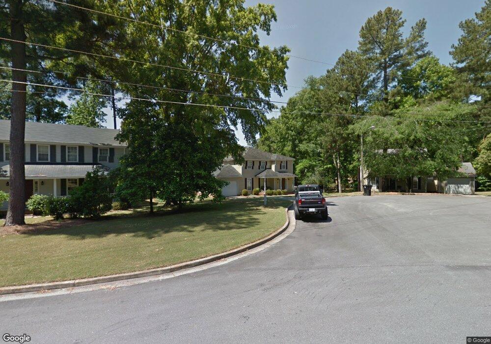
This home is located at 483 Pheasant Run Dr, Evans, GA 30809 and is currently estimated at $281,873, approximately $158 per square foot. 483 Pheasant Run Dr is a home located in Columbia County with nearby schools including Evans Elementary School, Evans Middle School, and Evans High School.
Ownership History
Date
Name
Owned For
Owner Type
Purchase Details
Closed on
Jul 28, 2022
Sold by
Brower Jack Alton
Bought by
Rish Arthur Blakely
Current Estimated Value
Home Financials for this Owner
Home Financials are based on the most recent Mortgage that was taken out on this home.
Original Mortgage
$261,182
Outstanding Balance
$249,747
Interest Rate
5.7%
Mortgage Type
FHA
Estimated Equity
$32,126
Purchase Details
Closed on
Jan 10, 2005
Sold by
Justice Melanie and Brower Melanie O
Bought by
Brower Jack A
Home Financials for this Owner
Home Financials are based on the most recent Mortgage that was taken out on this home.
Original Mortgage
$47,500
Interest Rate
5.61%
Mortgage Type
New Conventional
Create a Home Valuation Report for This Property
The Home Valuation Report is an in-depth analysis detailing your home's value as well as a comparison with similar homes in the area
Home Values in the Area
Average Home Value in this Area
Purchase History
| Date | Buyer | Sale Price | Title Company |
|---|---|---|---|
| Rish Arthur Blakely | $276,000 | -- | |
| Brower Jack A | -- | -- |
Source: Public Records
Mortgage History
| Date | Status | Borrower | Loan Amount |
|---|---|---|---|
| Open | Rish Arthur Blakely | $261,182 | |
| Previous Owner | Brower Jack A | $47,500 |
Source: Public Records
Tax History
| Year | Tax Paid | Tax Assessment Tax Assessment Total Assessment is a certain percentage of the fair market value that is determined by local assessors to be the total taxable value of land and additions on the property. | Land | Improvement |
|---|---|---|---|---|
| 2025 | $3,011 | $126,341 | $18,804 | $107,537 |
| 2024 | $3,074 | $123,092 | $18,804 | $104,288 |
| 2023 | $3,074 | $104,639 | $15,204 | $89,435 |
| 2022 | $2,252 | $88,666 | $15,304 | $73,362 |
| 2021 | $2,056 | $77,609 | $13,604 | $64,005 |
| 2020 | $1,733 | $64,401 | $11,804 | $52,597 |
| 2019 | $1,792 | $66,514 | $12,204 | $54,310 |
| 2018 | $1,661 | $61,582 | $11,204 | $50,378 |
| 2017 | $1,630 | $60,258 | $10,704 | $49,554 |
| 2016 | $1,722 | $65,905 | $11,380 | $54,525 |
| 2015 | $1,547 | $59,312 | $8,480 | $50,832 |
| 2014 | $1,538 | $58,284 | $9,280 | $49,004 |
Source: Public Records
Map
Nearby Homes
- 525 Pheasant Run Dr
- 4421 Hereford Farm Rd
- 625 Dunloe Cir
- 648 River Oaks Ln
- 854 Sparkleberry Rd
- 4560 Mulberry Creek Dr
- 456 Connemara Trail
- 809 Woodberry Dr
- 726 Whitney Shoals Rd
- 881 Audubon Way
- 814 Audubon Way
- 4484 Woodberry Ct
- 4489 Woodberry Ct
- 4481 Woodberry Ct
- 606 Ridge Way
- 2820 Old Riah Rd
- 829 Woodberry Dr
- 435 Evans Mill Dr Unit 17
- 780 Springbrook Cir
- 4478 Cape Cod Dr
- 485 Pheasant Run Dr
- 481 Pheasant Run Dr
- 479 Pheasant Run Dr
- 298 Lake Jean Dr
- 487 Pheasant Run Dr
- 491 Rachel Dr
- 8131 Sir Lancelot Ct
- 484 Pheasant Run Dr
- 477 Pheasant Run Dr
- 489 Pheasant Run Dr
- 8133 Sir Lancelot Ct
- 488 Pheasant Run Dr
- 475 Pheasant Run Dr
- 480 Pheasant Run Dr
- 491 Pheasant Run Dr
- 490 Pheasant Run Dr
- 490 Pheasant Run Dr
- 8129 Sir Lancelot Ct
- 489 Rachel Dr
- 473 Pheasant Run Dr
Your Personal Tour Guide
Ask me questions while you tour the home.