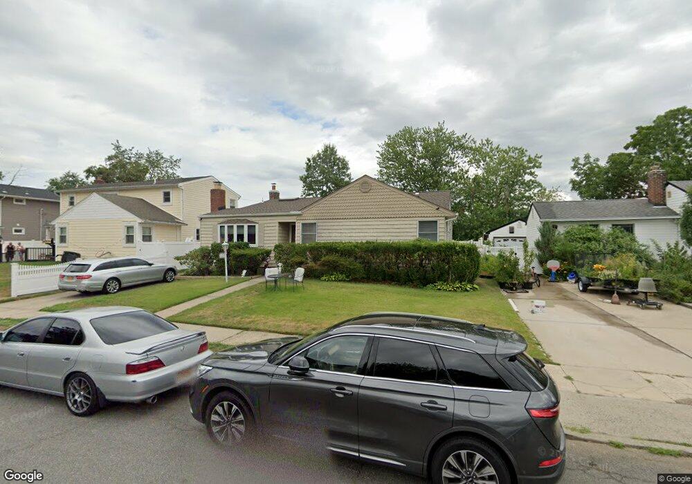
483 Steven Ave West Hempstead, NY 11552
Estimated Value: $717,575 - $794,000
--
Bed
2
Baths
1,437
Sq Ft
$526/Sq Ft
Est. Value
About This Home
This home is located at 483 Steven Ave, West Hempstead, NY 11552 and is currently estimated at $755,788, approximately $525 per square foot. 483 Steven Ave is a home located in Nassau County with nearby schools including Hebrew Academy of Nassau County (HANC).
Ownership History
Date
Name
Owned For
Owner Type
Purchase Details
Closed on
Jun 20, 2017
Sold by
Alcabes Joseph and Alcabes Joseph Revocable Livin
Bought by
Marinello Patrick and Marienllo Angelina
Current Estimated Value
Home Financials for this Owner
Home Financials are based on the most recent Mortgage that was taken out on this home.
Original Mortgage
$360,000
Outstanding Balance
$298,869
Interest Rate
3.95%
Mortgage Type
New Conventional
Estimated Equity
$456,919
Purchase Details
Closed on
Sep 23, 2013
Sold by
Alcabes Joseph
Bought by
Alcabes Joseph and Alcabes Joseph Revocable Livin
Purchase Details
Closed on
May 5, 2004
Sold by
Alcabes Devorah
Create a Home Valuation Report for This Property
The Home Valuation Report is an in-depth analysis detailing your home's value as well as a comparison with similar homes in the area
Home Values in the Area
Average Home Value in this Area
Purchase History
| Date | Buyer | Sale Price | Title Company |
|---|---|---|---|
| Marinello Patrick | $450,000 | Fidelity National Title Insu | |
| Alcabes Joseph | -- | -- | |
| -- | -- | -- |
Source: Public Records
Mortgage History
| Date | Status | Borrower | Loan Amount |
|---|---|---|---|
| Open | Marinello Patrick | $360,000 |
Source: Public Records
Tax History Compared to Growth
Tax History
| Year | Tax Paid | Tax Assessment Tax Assessment Total Assessment is a certain percentage of the fair market value that is determined by local assessors to be the total taxable value of land and additions on the property. | Land | Improvement |
|---|---|---|---|---|
| 2025 | $10,751 | $489 | $244 | $245 |
| 2024 | $4,629 | $536 | $267 | $269 |
| 2023 | $9,895 | $506 | $252 | $254 |
| 2022 | $9,895 | $536 | $267 | $269 |
| 2021 | $13,089 | $522 | $257 | $265 |
| 2020 | $9,078 | $496 | $456 | $40 |
| 2019 | $7,753 | $496 | $428 | $68 |
| 2018 | $7,360 | $529 | $0 | $0 |
| 2017 | $3,639 | $562 | $431 | $131 |
| 2016 | $6,498 | $595 | $404 | $191 |
| 2015 | $2,834 | $628 | $380 | $248 |
| 2014 | $2,834 | $628 | $380 | $248 |
| 2013 | $2,824 | $672 | $406 | $266 |
Source: Public Records
Map
Nearby Homes
- 350 Paul Place
- 576 Western Park Dr
- 518 Nassau Blvd
- 19 Richard St
- 613 Adams Ave
- 303 Nassau Blvd
- 635 Hempstead Ave
- 590 Langley Ave
- 582 Gaynor Place
- 600 Dogwood Ave
- 537 Madison Ave
- 757 Marion St
- 279 Semton Blvd
- 686 Tanwood Dr
- 231 Dogwood Ave
- 791 Caryl St
- 198 Guildford Ct
- 708 Anderson Ave
- 249 Grange St
- 474 Roy St