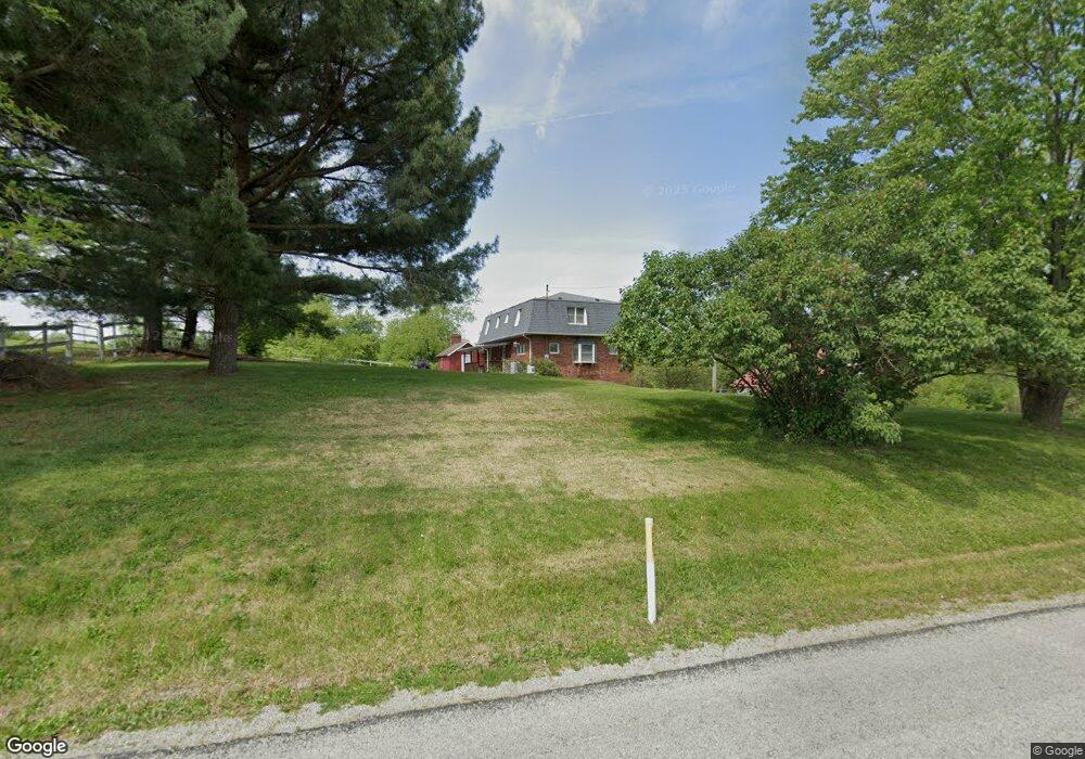
483 Upper Middletown Rd Smock, PA 15480
Menallen Township NeighborhoodEstimated Value: $218,000 - $512,000
4
Beds
3
Baths
2,352
Sq Ft
$160/Sq Ft
Est. Value
About This Home
This home is located at 483 Upper Middletown Rd, Smock, PA 15480 and is currently estimated at $375,586, approximately $159 per square foot. 483 Upper Middletown Rd is a home located in Fayette County with nearby schools including Uniontown Area Senior High School.
Ownership History
Date
Name
Owned For
Owner Type
Purchase Details
Closed on
Jul 18, 2008
Sold by
Fronczek Edward A and Fronczek Florezce
Bought by
Fronczek Tanya L
Current Estimated Value
Create a Home Valuation Report for This Property
The Home Valuation Report is an in-depth analysis detailing your home's value as well as a comparison with similar homes in the area
Home Values in the Area
Average Home Value in this Area
Purchase History
| Date | Buyer | Sale Price | Title Company |
|---|---|---|---|
| Fronczek Tanya L | $14,000 | None Available |
Source: Public Records
Tax History Compared to Growth
Tax History
| Year | Tax Paid | Tax Assessment Tax Assessment Total Assessment is a certain percentage of the fair market value that is determined by local assessors to be the total taxable value of land and additions on the property. | Land | Improvement |
|---|---|---|---|---|
| 2025 | $1,618 | $63,345 | $17,585 | $45,760 |
| 2024 | $1,544 | $63,345 | $17,585 | $45,760 |
| 2023 | $3,087 | $63,345 | $17,585 | $45,760 |
| 2022 | $3,087 | $63,345 | $17,585 | $45,760 |
| 2021 | $3,087 | $63,345 | $17,585 | $45,760 |
| 2020 | $3,016 | $63,345 | $17,585 | $45,760 |
| 2019 | $2,797 | $63,345 | $17,585 | $45,760 |
| 2018 | $2,649 | $63,345 | $17,585 | $45,760 |
| 2017 | $2,649 | $63,345 | $17,585 | $45,760 |
| 2016 | -- | $63,345 | $17,585 | $45,760 |
| 2015 | -- | $63,345 | $17,585 | $45,760 |
| 2014 | -- | $126,690 | $35,170 | $91,520 |
Source: Public Records
Map
Nearby Homes
- 912 Keisterville Rd
- 0 Alpine Ln Unit 1706795
- 218 Hatfield Rd
- 104 Industry Ln
- 1204 Pittsburgh Rd
- - Old Pittsburgh Rd
- 419 2nd St
- 7775 National Pike
- 7817 National Pike
- 185 Main St
- SR 51 Vances Mill Rd
- 19 Misty Meadows Ln
- 1010 Sunset Way
- 390 Snuff Ridge Rd
- 1024 Colonial Dr
- 511 West St
- 279 Linda Ave
- 34 Lexington Ave
- 104 Royal Rd
- 1161 1st St
- 478 Upper Middletown Rd
- 4 Pheasant Run Dr
- 8 Pheasant Run Dr
- 1 Stone Ridge Dr
- LR26032-NR U Midletwn
- 2 Stone Ridge Dr
- 449 Upper Middletown Rd
- 513 Upper Middletown Rd
- 14 Pheasant Run Dr
- 519 Upper Middletown Rd
- 510 Upper Middletown Rd
- 16 Pheasant Run Dr
- 7 Stone Ridge Dr
- 6 Stone Ridge Dr
- 1 Woodstock Dr
- 1 Woodstock Dr
- LR26032 Tr555
- 5 Woodstock Dr
- 18 Pheasant Run Dr
- 9 Stone Ridge Dr