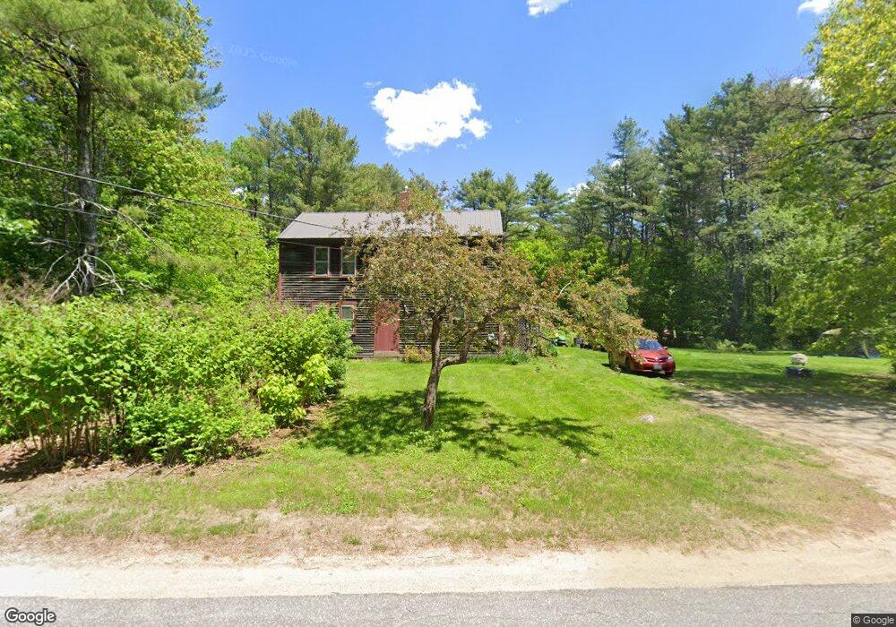
483 West Rd Bowdoin, ME 04287
Estimated Value: $291,000 - $382,084
3
Beds
1
Bath
2,688
Sq Ft
$124/Sq Ft
Est. Value
About This Home
This home is located at 483 West Rd, Bowdoin, ME 04287 and is currently estimated at $334,028, approximately $124 per square foot. 483 West Rd is a home with nearby schools including Mt Ararat High School.
Create a Home Valuation Report for This Property
The Home Valuation Report is an in-depth analysis detailing your home's value as well as a comparison with similar homes in the area
Home Values in the Area
Average Home Value in this Area
Tax History Compared to Growth
Tax History
| Year | Tax Paid | Tax Assessment Tax Assessment Total Assessment is a certain percentage of the fair market value that is determined by local assessors to be the total taxable value of land and additions on the property. | Land | Improvement |
|---|---|---|---|---|
| 2025 | $3,626 | $340,500 | $142,000 | $198,500 |
| 2024 | $3,303 | $340,500 | $142,000 | $198,500 |
| 2023 | $2,239 | $123,000 | $60,800 | $62,200 |
| 2022 | $2,119 | $125,410 | $60,800 | $64,610 |
| 2021 | $2,149 | $129,460 | $60,800 | $68,660 |
| 2020 | $2,071 | $129,460 | $60,800 | $68,660 |
| 2019 | $2,045 | $129,460 | $60,800 | $68,660 |
| 2018 | $1,955 | $129,460 | $60,800 | $68,660 |
| 2017 | $1,942 | $129,460 | $60,800 | $68,660 |
| 2016 | $1,903 | $129,460 | $60,800 | $68,660 |
| 2015 | $1,890 | $129,460 | $60,800 | $68,660 |
| 2014 | $1,799 | $129,460 | $60,800 | $68,660 |
| 2013 | $1,683 | $129,460 | $60,800 | $68,660 |
Source: Public Records
Map
Nearby Homes
- 144 Keay Rd
- 38 Moore Dr
- 25 Litchfield Rd
- 11 Dustin Dr
- 376 Bowdoinham Rd
- 113 Beaver Rd
- 202 Bowdoinham Rd
- 219 Dead River Rd
- 31 Samsons' Way
- Lot 14 Dead River Rd
- 1338 Meadow Rd
- 466 Middle Rd
- 0 Academy Rd Unit 1502594
- R01L73 & M8l32 Marsh Rd
- 62 Birchwood Dr
- 41 Patriot Ln
- 441 W Burrough Rd
- 325 Middle Rd
- 36.5 Acres Augusta Rd
- 41 Hidden Pond Rd