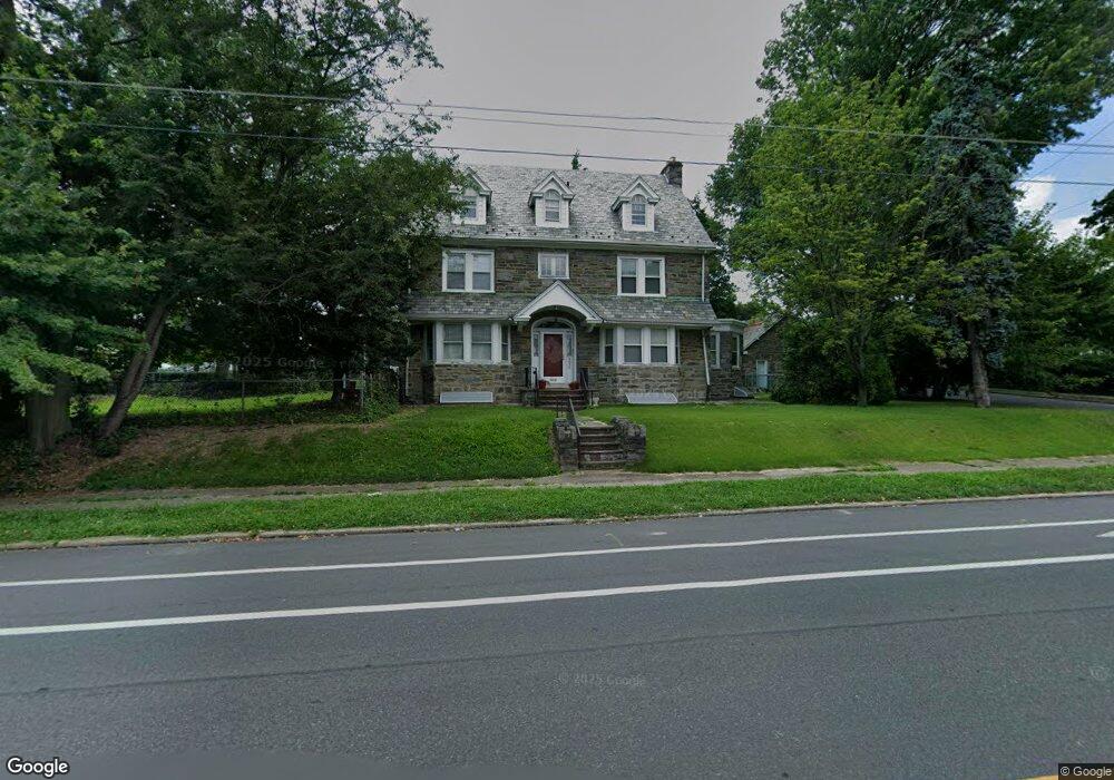
4830 Castor Ave Philadelphia, PA 19124
Lawncrest NeighborhoodEstimated Value: $322,000 - $414,636
--
Bed
--
Bath
2,502
Sq Ft
$145/Sq Ft
Est. Value
About This Home
This home is located at 4830 Castor Ave, Philadelphia, PA 19124 and is currently estimated at $361,659, approximately $144 per square foot. 4830 Castor Ave is a home located in Philadelphia County with nearby schools including Frankford High School, Northwood Academy Charter School, and The Philadelphia Charter School for the Arts & Sciences.
Ownership History
Date
Name
Owned For
Owner Type
Purchase Details
Closed on
Jul 31, 2000
Sold by
Dallis George
Bought by
Dales Joel I
Current Estimated Value
Home Financials for this Owner
Home Financials are based on the most recent Mortgage that was taken out on this home.
Original Mortgage
$166,250
Outstanding Balance
$58,108
Interest Rate
8.1%
Estimated Equity
$303,551
Purchase Details
Closed on
Dec 3, 1999
Sold by
Perna Alphonse C and Perna Alphonse C
Bought by
Dallis George
Home Financials for this Owner
Home Financials are based on the most recent Mortgage that was taken out on this home.
Original Mortgage
$127,500
Interest Rate
7.81%
Mortgage Type
Seller Take Back
Purchase Details
Closed on
Oct 25, 1996
Sold by
Perna Alphonse C and Perna Alphonso C
Bought by
Perna Alphonse C
Create a Home Valuation Report for This Property
The Home Valuation Report is an in-depth analysis detailing your home's value as well as a comparison with similar homes in the area
Home Values in the Area
Average Home Value in this Area
Purchase History
| Date | Buyer | Sale Price | Title Company |
|---|---|---|---|
| Dales Joel I | $175,000 | -- | |
| Dallis George | $172,000 | -- | |
| Perna Alphonse C | -- | -- |
Source: Public Records
Mortgage History
| Date | Status | Borrower | Loan Amount |
|---|---|---|---|
| Open | Dales Joel I | $166,250 | |
| Previous Owner | Dallis George | $127,500 |
Source: Public Records
Tax History Compared to Growth
Tax History
| Year | Tax Paid | Tax Assessment Tax Assessment Total Assessment is a certain percentage of the fair market value that is determined by local assessors to be the total taxable value of land and additions on the property. | Land | Improvement |
|---|---|---|---|---|
| 2026 | $4,295 | $377,500 | $75,500 | $302,000 |
| 2025 | $4,295 | $377,500 | $75,500 | $302,000 |
| 2024 | $4,295 | $377,500 | $75,500 | $302,000 |
| 2023 | $4,295 | $306,800 | $61,360 | $245,440 |
| 2022 | $3,239 | $306,800 | $61,360 | $245,440 |
| 2021 | $3,239 | $0 | $0 | $0 |
| 2020 | $3,239 | $0 | $0 | $0 |
| 2019 | $3,231 | $0 | $0 | $0 |
| 2018 | $3,329 | $0 | $0 | $0 |
| 2017 | $3,329 | $0 | $0 | $0 |
| 2016 | $3,329 | $0 | $0 | $0 |
| 2015 | $3,187 | $0 | $0 | $0 |
| 2014 | -- | $237,800 | $79,464 | $158,336 |
| 2012 | -- | $44,160 | $19,109 | $25,051 |
Source: Public Records
Map
Nearby Homes
- 1859 Harrison St
- 1052 Allengrove St
- 926 Foulkrod St
- 4046 E Roosevelt Blvd
- 4717 Northwood St
- 1001-3 Arrott St
- 5505 Loretto Ave
- 1208 Haworth St
- 1214 Haworth St
- 1048 Bridge St
- 4704 E Roosevelt Blvd
- 1204 Pratt St
- 1300 Harrison St
- 1218 Pratt St
- 1220 Pratt St
- 5118 Oakland St
- 894 Granite St
- 880 Granite St
- 5640 Miriam Rd
- 1335 Fillmore St
- 988 Allengrove St
- 986 Allengrove St
- 984 Allengrove St
- 982 Allengrove St
- 983 Allengrove St
- 4919 Castor Ave
- 980 Allengrove St
- 4913 Castor Ave
- 4921 Castor Ave
- 4911 Castor Ave
- 978 Allengrove St
- 4905 Castor Ave
- 4901 Castor Ave Unit 3
- 1001 Allengrove St Unit 3
- 4930 Castor Ave
- 976 Allengrove St
- 981 Allengrove St
- 1005 Allengrove St
- 953 Fillmore St
- 955 Fillmore St