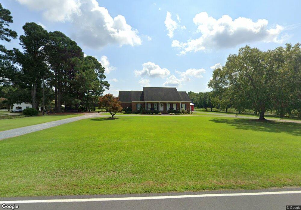
4830 Rosin Hill Rd Newton Grove, NC 28366
Estimated Value: $266,000 - $421,618
3
Beds
3
Baths
1,879
Sq Ft
$173/Sq Ft
Est. Value
About This Home
This home is located at 4830 Rosin Hill Rd, Newton Grove, NC 28366 and is currently estimated at $325,155, approximately $173 per square foot. 4830 Rosin Hill Rd is a home located in Sampson County with nearby schools including Hobbton Elementary School, Hobbton Middle School, and Hobbton High School.
Ownership History
Date
Name
Owned For
Owner Type
Purchase Details
Closed on
Oct 2, 2019
Sold by
Spell Leslie E and Spell Melanie B
Bought by
Britt Adam T and Britt Ashley H
Current Estimated Value
Home Financials for this Owner
Home Financials are based on the most recent Mortgage that was taken out on this home.
Original Mortgage
$185,000
Outstanding Balance
$161,736
Interest Rate
3.4%
Mortgage Type
New Conventional
Estimated Equity
$163,419
Purchase Details
Closed on
Apr 16, 2002
Bought by
Spell Leslie E
Create a Home Valuation Report for This Property
The Home Valuation Report is an in-depth analysis detailing your home's value as well as a comparison with similar homes in the area
Home Values in the Area
Average Home Value in this Area
Purchase History
| Date | Buyer | Sale Price | Title Company |
|---|---|---|---|
| Britt Adam T | -- | -- | |
| Spell Leslie E | -- | -- |
Source: Public Records
Mortgage History
| Date | Status | Borrower | Loan Amount |
|---|---|---|---|
| Open | Britt Adam T | $185,000 |
Source: Public Records
Tax History Compared to Growth
Tax History
| Year | Tax Paid | Tax Assessment Tax Assessment Total Assessment is a certain percentage of the fair market value that is determined by local assessors to be the total taxable value of land and additions on the property. | Land | Improvement |
|---|---|---|---|---|
| 2025 | $2,856 | $375,732 | $20,647 | $355,085 |
| 2024 | $2,574 | $375,732 | $20,647 | $355,085 |
| 2023 | $2,434 | $270,468 | $17,954 | $252,514 |
| 2022 | $2,434 | $270,468 | $17,954 | $252,514 |
| 2021 | $2,434 | $270,468 | $17,954 | $252,514 |
| 2020 | $2,434 | $270,468 | $17,954 | $252,514 |
| 2019 | $2,434 | $270,468 | $0 | $0 |
| 2018 | $2,001 | $222,375 | $0 | $0 |
| 2017 | $1,979 | $222,375 | $0 | $0 |
| 2016 | $1,990 | $222,375 | $0 | $0 |
| 2015 | $1,990 | $222,375 | $0 | $0 |
| 2014 | $1,990 | $222,375 | $0 | $0 |
Source: Public Records
Map
Nearby Homes
- 13015 Hobbton Hwy
- 0 Hobbton Hwy Unit 100510708
- 520 Fayetteville St
- 0 Suttontown Rd Unit 100516331
- 0 Suttontown Rd
- 762 Share Cake Rd
- 10455 U S 701 Hwy
- 00 Trail End Ln
- 00 Trail End Ln Unit LotWP001
- 0 Main St
- 9501 Harper House Rd
- 9505 Harper House Rd
- 1676 Smithfield Hwy
- 410 E Barefoot Rd
- 3092 Harnett-Dunn Hwy
- 770 Simmons Rd
- 352 Old Crow Rd
- 1509 Sampson Acres Dr
- 12525 N Carolina 50
- 267 Ed Collins Ln
- 4870 Rosin Hill Rd
- 4720 Rosin Hill Rd
- 4747 Rosin Hill Rd
- 4680 Rosin Hill Rd
- 14190 Hobbton Hwy
- 852 Cedar Point Rd
- 67 Bluebird Ln
- 4563 Rosin Hill Rd
- 14470 Hobbton Hwy
- 14514 Hobbton Hwy
- 4496 Rosin Hill Rd
- 933 Cedar Point Rd
- 714 Britt Rd
- 13867 Hobbton Hwy
- 4428 Rosin Hill Rd
- 675 Britt Rd
- 53 Cottonwood Ln
- 14717 Hobbton Hwy
- 13766 Hobbton Hwy
- 13736 Hobbton Hwy