Estimated Value: $69,904
--
Bed
--
Bath
740
Sq Ft
$94/Sq Ft
Est. Value
About This Home
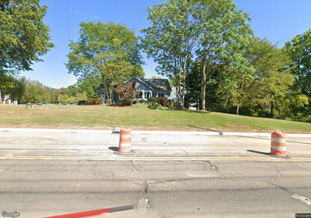
This home is located at 4831 Darrow Rd Unit 107, Stow, OH 44224 and is currently estimated at $69,904, approximately $94 per square foot. 4831 Darrow Rd Unit 107 is a home located in Summit County with nearby schools including Stow-Munroe Falls High School, Primrose School of Hudson, and Holy Family Elementary School.
Ownership History
Date
Name
Owned For
Owner Type
Purchase Details
Closed on
Apr 24, 2018
Sold by
Ambrose Charles J and Charles J Ambrose Jr Living Tr
Bought by
Equity Trust Company Custodian Fbo and James M Hojnacki Ira
Current Estimated Value
Purchase Details
Closed on
Mar 18, 2009
Sold by
Ambrose Charles J and Ambrose Deborah J
Bought by
Ambrose Charles J and Charles J Ambrose Jr Living Trust
Purchase Details
Closed on
Jun 10, 1999
Sold by
Troppe Anthony P and Troppe Jill E
Bought by
Ambrose Charles J and Ambrose Deborah J
Create a Home Valuation Report for This Property
The Home Valuation Report is an in-depth analysis detailing your home's value as well as a comparison with similar homes in the area
Home Values in the Area
Average Home Value in this Area
Purchase History
| Date | Buyer | Sale Price | Title Company |
|---|---|---|---|
| Equity Trust Company Custodian Fbo | $45,000 | Kingdom Title | |
| Ambrose Charles J | -- | Attorney | |
| Ambrose Charles J | $53,515 | Trident Title Agency |
Source: Public Records
Tax History Compared to Growth
Tax History
| Year | Tax Paid | Tax Assessment Tax Assessment Total Assessment is a certain percentage of the fair market value that is determined by local assessors to be the total taxable value of land and additions on the property. | Land | Improvement |
|---|---|---|---|---|
| 2025 | $1,527 | $22,418 | $3,875 | $18,543 |
| 2024 | $1,527 | $22,418 | $3,875 | $18,543 |
| 2023 | $1,527 | $22,418 | $3,875 | $18,543 |
| 2022 | $1,706 | $22,236 | $3,693 | $18,543 |
| 2021 | $1,555 | $22,236 | $3,693 | $18,543 |
| 2020 | $1,525 | $22,230 | $3,690 | $18,540 |
| 2019 | $1,663 | $22,440 | $3,690 | $18,750 |
| 2018 | $1,633 | $22,440 | $3,690 | $18,750 |
| 2017 | $1,609 | $22,440 | $3,690 | $18,750 |
| 2016 | $1,650 | $22,440 | $3,690 | $18,750 |
| 2015 | $1,609 | $22,440 | $3,690 | $18,750 |
| 2014 | $1,611 | $22,440 | $3,690 | $18,750 |
| 2013 | $1,703 | $23,750 | $3,400 | $20,350 |
Source: Public Records
Map
Nearby Homes
- 4877 Cedar Crest Ln
- 4891 Cedar Crest Ln
- 1664 Cypress Ct
- 1808 Higby Dr Unit A
- 1470 Mac Dr
- 0 Hibbard Dr
- 1627 Cypress Ct
- 1938 Higby Dr
- 4630 Red Willow Rd
- V/L Lawnmark Dr
- 1884 Village Ct Unit X66
- 1759 E Sapphire Dr
- 1620 Sapphire Dr
- V/L Norton Rd
- 1511 Apollo Dr
- 2327 Crockett Cir
- 5217 Beckett Ridge
- 0 Stow Rd Unit 5102979
- 2380 Port Williams Dr Unit 2380
- 2140 Woodlawn Cir Unit 2144
- 4831 Darrow Rd Unit 104
- 4831 Darrow Rd Unit 103
- 4831 Darrow Rd Unit 103/104
- 4831 Darrow Rd Unit 106
- 4837 Darrow Rd Unit 101&102
- 4772 Cresswood Dr
- 4814 Darrow Rd
- 4771 Cresswood Dr
- 4824 Darrow Rd
- 4834 Darrow Rd
- 4812 Darrow Rd
- 4766 Cresswood Dr
- 0 Tbd Darrow Rd
- 9D Cypress Ct
- 3B Cypress Ct
- 9C Cypress Ct
- 9B Cypress Ct
- 1635 Cypress Ct
- 1623 Cypress Ct
- 1626 Cypress Ct