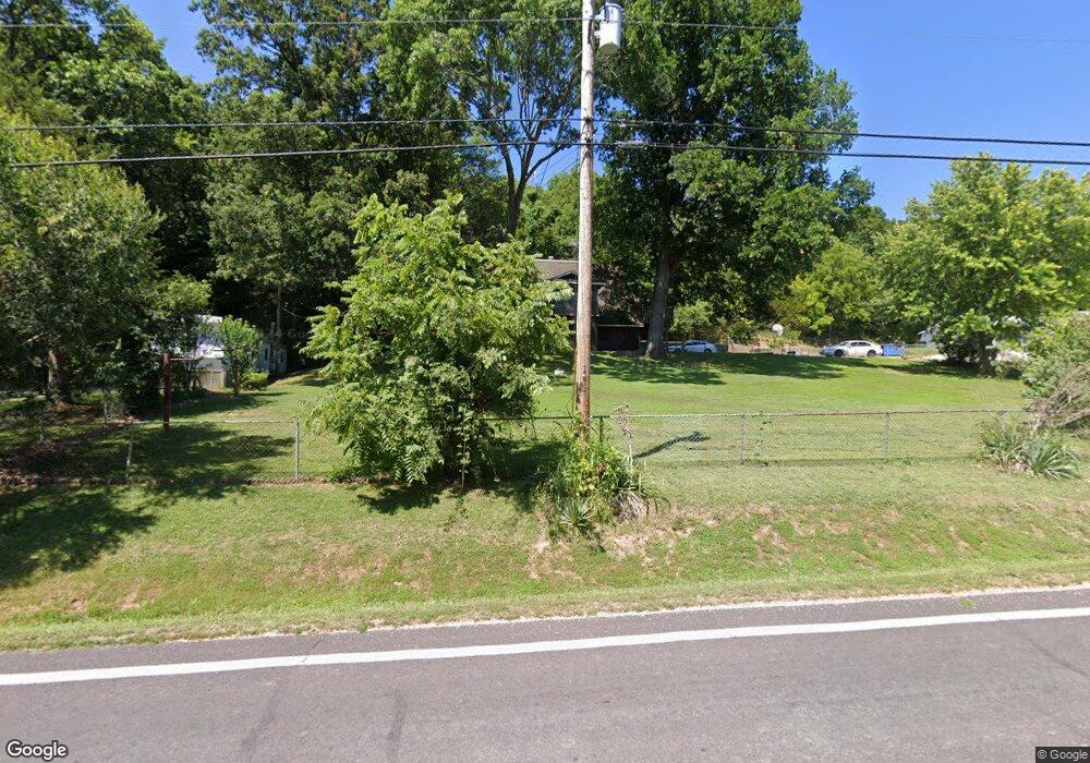
4831 State Road V de Soto, MO 63020
Estimated Value: $131,647 - $186,000
--
Bed
--
Bath
960
Sq Ft
$173/Sq Ft
Est. Value
About This Home
This home is located at 4831 State Road V, de Soto, MO 63020 and is currently estimated at $166,412, approximately $173 per square foot. 4831 State Road V is a home located in Jefferson County with nearby schools including Sunrise Elementary School and St Rose Of Lima School.
Ownership History
Date
Name
Owned For
Owner Type
Purchase Details
Closed on
Apr 8, 2022
Sold by
Friday Michael D and Friday Donna L
Bought by
Thompson Tony L
Current Estimated Value
Home Financials for this Owner
Home Financials are based on the most recent Mortgage that was taken out on this home.
Original Mortgage
$212,000
Outstanding Balance
$174,220
Interest Rate
4%
Mortgage Type
Seller Take Back
Estimated Equity
-$7,808
Create a Home Valuation Report for This Property
The Home Valuation Report is an in-depth analysis detailing your home's value as well as a comparison with similar homes in the area
Home Values in the Area
Average Home Value in this Area
Purchase History
| Date | Buyer | Sale Price | Title Company |
|---|---|---|---|
| Thompson Tony L | -- | Thurman Law Firm |
Source: Public Records
Mortgage History
| Date | Status | Borrower | Loan Amount |
|---|---|---|---|
| Open | Thompson Tony L | $212,000 |
Source: Public Records
Tax History Compared to Growth
Tax History
| Year | Tax Paid | Tax Assessment Tax Assessment Total Assessment is a certain percentage of the fair market value that is determined by local assessors to be the total taxable value of land and additions on the property. | Land | Improvement |
|---|---|---|---|---|
| 2025 | $935 | $14,000 | $1,100 | $12,900 |
| 2024 | $935 | $13,000 | $1,100 | $11,900 |
| 2023 | $935 | $13,000 | $1,100 | $11,900 |
| 2022 | $927 | $13,000 | $1,100 | $11,900 |
| 2021 | $919 | $13,000 | $1,100 | $11,900 |
| 2020 | $839 | $11,600 | $900 | $10,700 |
| 2019 | $838 | $11,600 | $900 | $10,700 |
| 2018 | $832 | $11,600 | $900 | $10,700 |
| 2017 | $797 | $11,600 | $900 | $10,700 |
| 2016 | $750 | $10,700 | $900 | $9,800 |
| 2015 | $692 | $10,700 | $900 | $9,800 |
| 2013 | -- | $10,400 | $800 | $9,600 |
Source: Public Records
Map
Nearby Homes
- 1571 Berry Dairy Rd
- 4445 Cedar Tree Ln
- 0 Cedar Tree Ln
- BLOCK 54 Highway E
- 54 Veterans Dr
- 0 Kennett St
- 400 E Plattin St
- 52 Highway E (Veterans Dr ) Hwy
- 53 HIGHWAY E (Vererans Dr) Dr
- 100 Kennett St
- 0 Hwy E-Veterans Hwy Unit MIS25014230
- 2 Harley Ct
- 10 Acres Off Hawkwood Trail
- 55 Deloris Dr
- 63 Deloris Dr
- 0 Deloris Dr
- 708 S 2nd St
- 623 Boyne St
- 663 Boyne St
- 0 Vineland School Rd
- 4823 State Road V
- 4818 State Road V
- 4818 State Road "V"
- 4819 State Road V
- 4812 State Road V
- 4807 State Road V
- 4806 State Road V
- 4854 State Road V
- 1512 Berry Dairy Rd
- 4800 State Road V
- 1546 Berry Dairy Rd
- 1540 Berry Dairy Rd
- 0 Hillcrest Unit 80070043
- 0 Hillcrest Unit 11026615
- 0 Hillcrest Unit 14035275
- 1534 Berry Dairy Rd
- 1552 Berry Dairy Rd
- 1566 Berry Dairy Rd
- 1560 Berry Dairy Rd
- 1528 Berry Dairy Rd