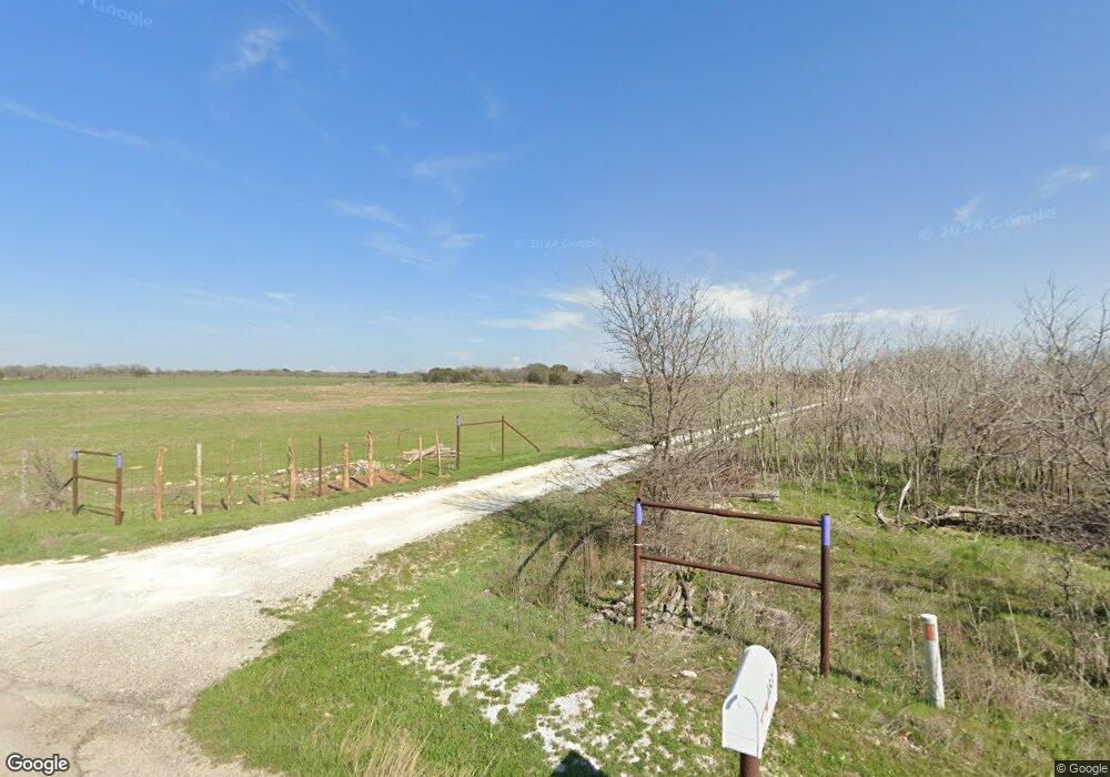
4831 Tin Top Rd Weatherford, TX 76087
Estimated Value: $494,000
--
Bed
--
Bath
2,142
Sq Ft
$231/Sq Ft
Est. Value
About This Home
This home is located at 4831 Tin Top Rd, Weatherford, TX 76087 and is currently estimated at $494,000, approximately $230 per square foot. 4831 Tin Top Rd is a home located in Parker County with nearby schools including Austin Elementary School, Hall Middle School, and Weatherford High School.
Ownership History
Date
Name
Owned For
Owner Type
Purchase Details
Closed on
Mar 28, 2013
Sold by
Rhodes Brack A
Bought by
Rhodes Brack A and Rhodes Connie
Current Estimated Value
Home Financials for this Owner
Home Financials are based on the most recent Mortgage that was taken out on this home.
Original Mortgage
$82,000
Interest Rate
3.62%
Mortgage Type
Credit Line Revolving
Purchase Details
Closed on
Jan 1, 1901
Bought by
Rhodes Brack A and Rhodes Connie
Create a Home Valuation Report for This Property
The Home Valuation Report is an in-depth analysis detailing your home's value as well as a comparison with similar homes in the area
Home Values in the Area
Average Home Value in this Area
Purchase History
| Date | Buyer | Sale Price | Title Company |
|---|---|---|---|
| Rhodes Brack A | -- | Orange Coast Title Co Of Tx | |
| Rhodes Brack A | -- | -- |
Source: Public Records
Mortgage History
| Date | Status | Borrower | Loan Amount |
|---|---|---|---|
| Closed | Rhodes Brack A | $82,000 |
Source: Public Records
Tax History Compared to Growth
Tax History
| Year | Tax Paid | Tax Assessment Tax Assessment Total Assessment is a certain percentage of the fair market value that is determined by local assessors to be the total taxable value of land and additions on the property. | Land | Improvement |
|---|---|---|---|---|
| 2025 | $929 | $245,790 | $40,000 | $205,790 |
| 2024 | $929 | $177,672 | -- | -- |
| 2023 | $929 | $161,520 | $0 | $0 |
| 2022 | $2,731 | $146,840 | $19,790 | $127,050 |
| 2021 | $2,777 | $146,840 | $19,790 | $127,050 |
| 2020 | $2,536 | $125,360 | $20,940 | $104,420 |
| 2019 | $2,634 | $125,360 | $20,940 | $104,420 |
| 2018 | $2,415 | $121,620 | $15,610 | $106,010 |
| 2017 | $2,241 | $121,620 | $15,610 | $106,010 |
| 2016 | $2,037 | $91,770 | $9,940 | $81,830 |
| 2015 | $1,457 | $91,770 | $9,940 | $81,830 |
| 2014 | $1,411 | $76,340 | $9,940 | $66,400 |
Source: Public Records
Map
Nearby Homes
- 2045 Sunset Ridge Dr
- 3016 Infinity Dr
- 2067 Sunset Ridge Dr
- 147 Western Lake Dr
- 1000 Elevation Trail
- 413 Lakeview Trail
- 1064 Uplift Dr
- 1049 Uplift Dr
- 4819 Horseshoe Dr
- 1061 Uplift Dr
- 3085 Infinity Dr
- 191 Wildflower Trail
- 2017 Downslope Ln
- TBD Western Lake Dr
- 241 Western Lake Dr
- 505 Brazos Hills Dr
- 246 Comanche Trail
- 329 Longhorn Trail
- 4640 Tin Top Rd
- 340 Western Lake Dr
- 3005 Infinity Dr
- 3013 Infinity Dr
- 2041 Sunset Hill Ct
- 2041 Sunset Ridge Dr
- 2049 Sunset Ridge Dr
- 2051 Sunset Hill Ct
- 3017 Infinity Dr
- 2037 Sunset Ridge Dr
- 2009 Sunset Ridge Dr
- 3144 Infinity Dr
- 2033 Sunset Ridge Dr
- 2044 Sunset Ridge Dr
- 2048 Sunset Ridge Dr
- 2048 Sunset Ridge Dr
- 2055 Sunset Ridge Dr
- 3021 Infinity Dr
- 2059 Sunset Hill Ct
- 2034 Sunset Hill Ct
- 2052 Sunset Ridge Dr
- 2052 Sunset Ridge Dr