Estimated Value: $574,000 - $628,570
5
Beds
3
Baths
1,379
Sq Ft
$440/Sq Ft
Est. Value
About This Home
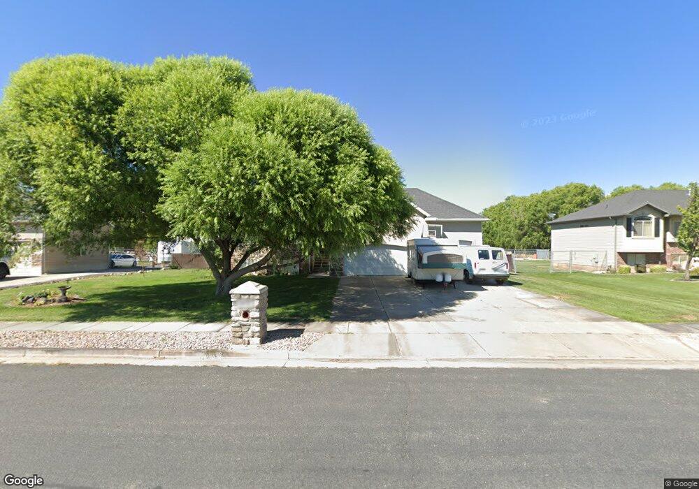
This home is located at 4832 W 1850 N Unit 9, Ogden, UT 84404 and is currently estimated at $607,393, approximately $440 per square foot. 4832 W 1850 N Unit 9 is a home located in Weber County with nearby schools including Plain City School, Wahlquist Junior High School, and Fremont High School.
Ownership History
Date
Name
Owned For
Owner Type
Purchase Details
Closed on
Aug 2, 2005
Sold by
Tiffany Development Lc
Bought by
Hart Todd C and Hart Renee A
Current Estimated Value
Purchase Details
Closed on
Jan 7, 2005
Sold by
Cedar Ridge Homes Inc
Bought by
Hart Todd C and Hart Renee A
Home Financials for this Owner
Home Financials are based on the most recent Mortgage that was taken out on this home.
Original Mortgage
$170,900
Interest Rate
5.7%
Mortgage Type
New Conventional
Purchase Details
Closed on
Jun 1, 2004
Sold by
Tiffany Development Lc
Bought by
Cedar Ridge Homes Inc
Home Financials for this Owner
Home Financials are based on the most recent Mortgage that was taken out on this home.
Original Mortgage
$9,000
Interest Rate
5.99%
Mortgage Type
Seller Take Back
Create a Home Valuation Report for This Property
The Home Valuation Report is an in-depth analysis detailing your home's value as well as a comparison with similar homes in the area
Home Values in the Area
Average Home Value in this Area
Purchase History
| Date | Buyer | Sale Price | Title Company |
|---|---|---|---|
| Hart Todd C | -- | Founders Title | |
| Hart Todd C | -- | -- | |
| Cedar Ridge Homes Inc | -- | Founders Title Company Syrac |
Source: Public Records
Mortgage History
| Date | Status | Borrower | Loan Amount |
|---|---|---|---|
| Previous Owner | Hart Todd C | $170,900 | |
| Previous Owner | Cedar Ridge Homes Inc | $9,000 |
Source: Public Records
Tax History Compared to Growth
Tax History
| Year | Tax Paid | Tax Assessment Tax Assessment Total Assessment is a certain percentage of the fair market value that is determined by local assessors to be the total taxable value of land and additions on the property. | Land | Improvement |
|---|---|---|---|---|
| 2025 | $2,808 | $583,847 | $180,000 | $403,847 |
| 2024 | $2,684 | $315,699 | $99,001 | $216,698 |
| 2023 | $2,851 | $332,200 | $98,935 | $233,265 |
| 2022 | $2,821 | $606,000 | $160,003 | $445,997 |
| 2021 | $2,203 | $442,000 | $95,044 | $346,956 |
| 2020 | $2,009 | $372,000 | $70,010 | $301,990 |
| 2019 | $2,030 | $356,000 | $65,011 | $290,989 |
| 2018 | $1,901 | $319,000 | $65,011 | $253,989 |
| 2017 | $1,887 | $302,000 | $63,000 | $239,000 |
| 2016 | $1,883 | $164,799 | $38,174 | $126,625 |
| 2015 | $1,774 | $152,151 | $32,719 | $119,432 |
| 2014 | $1,614 | $136,573 | $32,719 | $103,854 |
Source: Public Records
Map
Nearby Homes
- 1980 N 4650 W
- 1885 N 4475 W
- 2131 N 4650 W
- 4494 W 1600 N
- 4227 W Pioneer Rd
- 4370 W 1500 N
- 4210 W 1975 N
- 1748 N 4100 St W
- 1239 N 4925 W
- 1221 N 4975 W
- 2416 N 4275 W
- 3966 W 2200 N
- 3622 W 2200 St N Unit 23
- 2834 N 5150 W
- 2700 N 4200 W
- 4212 W 1975 N
- 2793 W 2775 N
- 2797 W 2775 N Unit 129
- 2782 W 2775 N Unit 105
- 2792 W 2775 N Unit 103
- 4832 W 1850 N
- 4808 W 1850 N
- 4808 W 1850 N Unit 8
- 4854 W 1850 N
- 4854 W 1850 N Unit 10
- 4863 W 1850 N
- 4863 W 1850 N Unit 13
- 4794 W 1850 N
- 4794 W 1850 N Unit 7
- 4862 W 1850 N
- 4862 W 1850 N Unit 11
- 1820 N 4850 W
- 1820 N 4850 W Unit 19
- 4805 W 1850 N
- 4805 W 1850 N Unit 20
- 1831 N 4850 W
- 4772 W 1850 N
- 4772 W 1850 N Unit 6
- 4870 W 1850 N
- 4870 W 1850 N Unit 12