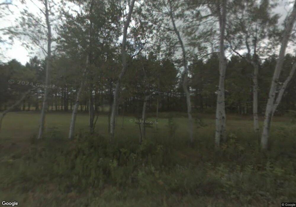
48321 Harma Rd Unit GREAT 5 ACRES-MOSTLY Atlantic Mine, MI 49905
Estimated Value: $385,757 - $393,000
--
Bed
--
Bath
1,456
Sq Ft
$267/Sq Ft
Est. Value
About This Home
This home is located at 48321 Harma Rd Unit GREAT 5 ACRES-MOSTLY, Atlantic Mine, MI 49905 and is currently estimated at $389,379, approximately $267 per square foot. 48321 Harma Rd Unit GREAT 5 ACRES-MOSTLY is a home located in Houghton County with nearby schools including E.B. Holman Elementary School.
Ownership History
Date
Name
Owned For
Owner Type
Purchase Details
Closed on
Apr 19, 2021
Sold by
Stroop Randall G
Bought by
Caldwell John
Current Estimated Value
Home Financials for this Owner
Home Financials are based on the most recent Mortgage that was taken out on this home.
Original Mortgage
$210,600
Outstanding Balance
$174,453
Interest Rate
3.05%
Mortgage Type
Construction
Estimated Equity
$214,926
Purchase Details
Closed on
Sep 12, 2016
Sold by
Fraki Michael R
Bought by
Stroop Randall G
Home Financials for this Owner
Home Financials are based on the most recent Mortgage that was taken out on this home.
Original Mortgage
$174,600
Interest Rate
3.48%
Mortgage Type
New Conventional
Purchase Details
Closed on
Jan 31, 2011
Bought by
Fraki Michael
Create a Home Valuation Report for This Property
The Home Valuation Report is an in-depth analysis detailing your home's value as well as a comparison with similar homes in the area
Home Values in the Area
Average Home Value in this Area
Purchase History
| Date | Buyer | Sale Price | Title Company |
|---|---|---|---|
| Caldwell John | $234,000 | Keweenaw Title Agcy | |
| Stroop Randall G | $180,000 | Copper Range Abs & Title | |
| Fraki Michael | -- | -- |
Source: Public Records
Mortgage History
| Date | Status | Borrower | Loan Amount |
|---|---|---|---|
| Open | Caldwell John | $210,600 | |
| Previous Owner | Stroop Randall G | $174,600 |
Source: Public Records
Tax History Compared to Growth
Tax History
| Year | Tax Paid | Tax Assessment Tax Assessment Total Assessment is a certain percentage of the fair market value that is determined by local assessors to be the total taxable value of land and additions on the property. | Land | Improvement |
|---|---|---|---|---|
| 2025 | $6,480 | $154,600 | $0 | $0 |
| 2024 | $1,769 | $143,500 | $0 | $0 |
| 2023 | $1,688 | $148,700 | $0 | $0 |
| 2022 | $5,940 | $130,200 | $0 | $0 |
| 2021 | $2,735 | $108,100 | $0 | $0 |
| 2020 | $2,704 | $95,800 | $0 | $0 |
| 2019 | $2,666 | $96,300 | $0 | $0 |
| 2018 | $2,597 | $92,200 | $0 | $0 |
| 2017 | $2,578 | $91,700 | $0 | $0 |
| 2016 | -- | $85,900 | $0 | $0 |
| 2015 | -- | $85,900 | $0 | $0 |
| 2014 | -- | $86,900 | $0 | $0 |
Source: Public Records
Map
Nearby Homes
- 15710 Coles Creek Rd
- TBD10 S Superior
- TBD Huron St
- 47474 Huron St
- 14768 Liminga Rd
- 13910 Liminga Rd
- Unit 17 Liminga Rd
- Unit 16 Liminga Rd
- 17970 Spring Brook Ln
- 46882 Naumkeg St
- 2150 Jasberg St
- 52097 Michigan 203
- 52275 N Superior Rd
- 1607 W Quincy St
- 68 4th St
- 1301 Hecla St
- 1401 Anthony St
- 47302 Janovosky Rd
- 2103 Balsam Ln
- TBD-undeveloped Oak Ridge Ln
- 48321 Harma Rd
- 48310 Harma Rd
- 48241 Harma Rd
- 48225 Harma Rd
- 15090 Tall Pines Dr
- 48236 Harma Rd
- 48236 Harma Rd
- 14563 Becker Rd
- 48555 Harma Rd
- 48063 Harma Rd
- 15125 Tall Pines Dr
- 48127 Harma Rd
- 14567 Becker Rd
- 48606 Harma Rd
- 48623 Harma Rd
- 15024 Walstrom Rd
- 15097 Walstrom Rd
- 48679 Harma Rd
- 15165 Walstrom Rd
- 14939 Becker Rd
