Estimated Value: $327,000 - $449,000
4
Beds
2
Baths
2,064
Sq Ft
$195/Sq Ft
Est. Value
About This Home
This home is located at 4835 Brower Tree Ln, Kent, OH 44240 and is currently estimated at $402,321, approximately $194 per square foot. 4835 Brower Tree Ln is a home located in Portage County with nearby schools including Brimfield Elementary School, Field Middle School, and Field High School.
Ownership History
Date
Name
Owned For
Owner Type
Purchase Details
Closed on
Oct 29, 2021
Sold by
Deluke Justin J and Deluke Jessica K
Bought by
Jessica K Deluke Revocable Trust
Current Estimated Value
Purchase Details
Closed on
Jul 5, 2006
Sold by
Sugar Maple Hills Llc
Bought by
Deluke Justin J and Deluke Jessica K
Home Financials for this Owner
Home Financials are based on the most recent Mortgage that was taken out on this home.
Original Mortgage
$267,336
Outstanding Balance
$163,500
Interest Rate
6.73%
Mortgage Type
Construction
Estimated Equity
$238,821
Create a Home Valuation Report for This Property
The Home Valuation Report is an in-depth analysis detailing your home's value as well as a comparison with similar homes in the area
Home Values in the Area
Average Home Value in this Area
Purchase History
| Date | Buyer | Sale Price | Title Company |
|---|---|---|---|
| Jessica K Deluke Revocable Trust | -- | None Available | |
| Deluke Justin J | $54,600 | None Available |
Source: Public Records
Mortgage History
| Date | Status | Borrower | Loan Amount |
|---|---|---|---|
| Open | Deluke Justin J | $267,336 |
Source: Public Records
Tax History Compared to Growth
Tax History
| Year | Tax Paid | Tax Assessment Tax Assessment Total Assessment is a certain percentage of the fair market value that is determined by local assessors to be the total taxable value of land and additions on the property. | Land | Improvement |
|---|---|---|---|---|
| 2024 | $5,868 | $124,040 | $22,750 | $101,290 |
| 2023 | $5,526 | $94,010 | $17,500 | $76,510 |
| 2022 | $5,542 | $94,010 | $17,500 | $76,510 |
| 2021 | $5,413 | $94,010 | $17,500 | $76,510 |
| 2020 | $5,565 | $87,050 | $17,500 | $69,550 |
| 2019 | $5,482 | $87,050 | $17,500 | $69,550 |
| 2018 | $4,429 | $77,600 | $15,750 | $61,850 |
| 2017 | $4,133 | $77,600 | $15,750 | $61,850 |
| 2016 | $4,125 | $77,600 | $15,750 | $61,850 |
| 2015 | $3,991 | $77,600 | $15,750 | $61,850 |
| 2014 | $3,851 | $77,600 | $15,750 | $61,850 |
| 2013 | $3,760 | $77,600 | $15,750 | $61,850 |
Source: Public Records
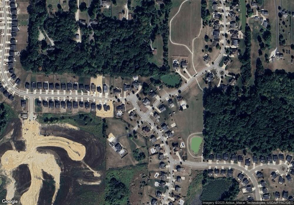
Map
Nearby Homes
- 2105 Sugar Maple Dr
- 2092 Sugar Maple Dr
- 4832 Raspberry Cir
- 1997 Sugar Maple Dr
- 2312 Cranberry Creek Rd
- 2014 Sugar Maple Dr
- 2464 Hazelnut Rd
- 5123 Troyer Dr
- 5205 Cline Rd Unit A
- 5032 Blackberry Ln
- 2694 Sandy Lake Rd
- 2216 - 2218 Roberts Journey
- 1024E Cedar Ridge Dr
- 1024A Cedar Ridge Dr
- 5044 Sherman Wood Dr
- 1523 Whitehall Blvd
- 4088 Lynwood Dr
- 3123 Clearview Rd
- 1426 Loop Rd Unit 1426
- 2262 Willyard Ave
- SL60 Sugar Maple Dr
- 4840 Brower Tree Ln
- 4847 Brower Tree Ln
- 4830 Brower Tree Ln
- 2207 Sugar Maple Dr
- 4873 Perie Wood Ln
- S/L 9 Brower Tree Ln
- S/L 36 Brower Tree Ln
- S/L 2 Brower Tree Ln
- V/L Brower Tree Ln
- SL26 Brower Tree Ln
- SL11 Brower Tree Ln
- SL 10 Brower Tree Ln
- 2197 Sugar Maple Dr
- 2194 Sugar Maple Dr
- 2158 Sugar Maple Dr
- 2128 Sugar Maple Dr
- 2170 Sugar Maple Dr
- 2140 Sugar Maple Dr
- 2050 Sugar Maple Dr