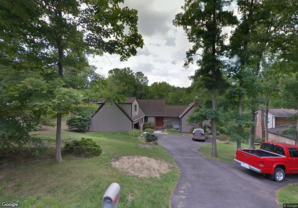
4835 Hubble Rd Cincinnati, OH 45247
White Oak West NeighborhoodEstimated Value: $328,000 - $356,000
2
Beds
2
Baths
2,172
Sq Ft
$156/Sq Ft
Est. Value
About This Home
This home is located at 4835 Hubble Rd, Cincinnati, OH 45247 and is currently estimated at $338,991, approximately $156 per square foot. 4835 Hubble Rd is a home located in Hamilton County with nearby schools including Monfort Heights Elementary School, White Oak Middle School, and Colerain High School.
Ownership History
Date
Name
Owned For
Owner Type
Purchase Details
Closed on
Mar 7, 2022
Sold by
Gangwer Carol
Bought by
Taylor Wallbrech and Christopher Wallbrech
Current Estimated Value
Home Financials for this Owner
Home Financials are based on the most recent Mortgage that was taken out on this home.
Interest Rate
3.76%
Create a Home Valuation Report for This Property
The Home Valuation Report is an in-depth analysis detailing your home's value as well as a comparison with similar homes in the area
Home Values in the Area
Average Home Value in this Area
Purchase History
| Date | Buyer | Sale Price | Title Company |
|---|---|---|---|
| Taylor Wallbrech | $255,000 | -- |
Source: Public Records
Mortgage History
| Date | Status | Borrower | Loan Amount |
|---|---|---|---|
| Closed | Taylor Wallbrech | -- |
Source: Public Records
Tax History
| Year | Tax Paid | Tax Assessment Tax Assessment Total Assessment is a certain percentage of the fair market value that is determined by local assessors to be the total taxable value of land and additions on the property. | Land | Improvement |
|---|---|---|---|---|
| 2025 | $4,846 | $89,251 | $15,593 | $73,658 |
| 2023 | $4,762 | $89,251 | $15,593 | $73,658 |
| 2022 | $3,862 | $67,915 | $15,131 | $52,784 |
| 2021 | $3,534 | $67,915 | $15,131 | $52,784 |
| 2020 | $3,577 | $67,915 | $15,131 | $52,784 |
| 2019 | $3,462 | $60,638 | $13,510 | $47,128 |
| 2018 | $3,084 | $60,638 | $13,510 | $47,128 |
| 2017 | $2,911 | $60,638 | $13,510 | $47,128 |
| 2016 | $3,541 | $71,061 | $13,374 | $57,687 |
| 2015 | $3,579 | $71,061 | $13,374 | $57,687 |
| 2014 | $3,585 | $71,061 | $13,374 | $57,687 |
| 2013 | $3,391 | $71,778 | $13,510 | $58,268 |
Source: Public Records
Map
Nearby Homes
- 6150 Wilmer Rd
- 6130 Wilmer Rd
- 5080 Jessup Rd
- 4357 Hubble Rd
- 6707 Weiss Rd
- 5547 Hubble Rd
- 4643 Whispering Oak Trail
- 4021 Hanley Rd
- 4600 Farcrest Ct
- 4095 Philnoll Dr
- 5876 Sutters Mill Dr
- 3727 Hanley Rd
- 3631 Semloh Ave
- 3798 Philnoll Dr
- 4192 Timberpoint Dr
- 3899 Ridgedale Dr
- 6211 Cheviot Rd
- 6670 Gaines Rd
- 6708 Cheviot Rd
- 6724 Cheviot Rd
- 4809 Hubble Rd
- 4863 Hubble Rd
- 4781 Hubble Rd
- 4889 Hubble Rd
- 6179 Squirrelwoods Ln
- 6171 Squirrelwoods Ln
- 4830 Hubble Rd
- 4850 Hubble Rd
- 4784 Hubble Rd
- 4810 Hubble Rd
- 6163 Squirrelwoods Ln
- 6189 Squirrelwoods Ln
- 4911 Hubble Rd
- 4729 Hubble Rd
- 6171 Wilmer Rd
- 6155 Squirrelwoods Ln
- 4910 Hubble Rd
- 6159 Wilmer Rd
- 6147 Wilmer Rd
- 4730 Hubble Rd
Your Personal Tour Guide
Ask me questions while you tour the home.