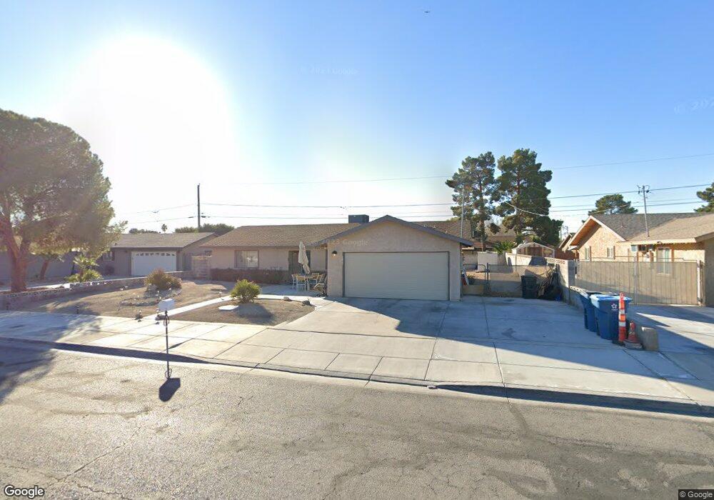
4837 E Imperial Ave Las Vegas, NV 89104
Estimated Value: $358,043 - $447,000
3
Beds
2
Baths
1,550
Sq Ft
$248/Sq Ft
Est. Value
About This Home
This home is located at 4837 E Imperial Ave, Las Vegas, NV 89104 and is currently estimated at $384,761, approximately $248 per square foot. 4837 E Imperial Ave is a home located in Clark County with nearby schools including William E. Snyder Elementary School, Jerome Mack Middle School, and Las Vegas High School.
Ownership History
Date
Name
Owned For
Owner Type
Purchase Details
Closed on
Mar 16, 2015
Sold by
Gerstung Lillian E
Bought by
Cartwright James W and Lillian E Gerstung Living Trust
Current Estimated Value
Purchase Details
Closed on
Jan 27, 2011
Sold by
Gerstrung Lillian E
Bought by
Rollins Roxanne Vasquez
Purchase Details
Closed on
Feb 12, 2009
Sold by
Gerstung Lillian E
Bought by
Roudebush Frances Elizabeth
Purchase Details
Closed on
Apr 28, 2008
Sold by
Gerstung Warren C and Gerstung Lillian E
Bought by
Roudebush Frances Elizabeth and Kasiak Maria Lucia
Create a Home Valuation Report for This Property
The Home Valuation Report is an in-depth analysis detailing your home's value as well as a comparison with similar homes in the area
Home Values in the Area
Average Home Value in this Area
Purchase History
| Date | Buyer | Sale Price | Title Company |
|---|---|---|---|
| Cartwright James W | -- | None Available | |
| Rollins Roxanne Vasquez | -- | None Available | |
| Roudebush Frances Elizabeth | -- | None Available | |
| Roudebush Frances Elizabeth | -- | None Available |
Source: Public Records
Tax History Compared to Growth
Tax History
| Year | Tax Paid | Tax Assessment Tax Assessment Total Assessment is a certain percentage of the fair market value that is determined by local assessors to be the total taxable value of land and additions on the property. | Land | Improvement |
|---|---|---|---|---|
| 2025 | $1,030 | $56,133 | $26,250 | $29,883 |
| 2024 | $1,030 | $56,133 | $26,250 | $29,883 |
| 2023 | $1,030 | $59,398 | $29,750 | $29,648 |
| 2022 | $954 | $52,141 | $24,500 | $27,641 |
| 2021 | $883 | $47,795 | $21,000 | $26,795 |
| 2020 | $817 | $47,715 | $20,650 | $27,065 |
| 2019 | $766 | $46,385 | $19,250 | $27,135 |
| 2018 | $731 | $38,786 | $12,250 | $26,536 |
| 2017 | $1,160 | $39,545 | $12,250 | $27,295 |
| 2016 | $685 | $37,230 | $9,450 | $27,780 |
| 2015 | $683 | $29,326 | $7,700 | $21,626 |
| 2014 | $625 | $23,247 | $7,000 | $16,247 |
Source: Public Records
Map
Nearby Homes
- 4746 Yuma Ave
- 4939 Yuma Ave
- 1405 S Nellis Blvd Unit 1121
- 1405 S Nellis Blvd Unit 1008
- 1405 S Nellis Blvd Unit 2082
- 1405 S Nellis Blvd Unit 2117
- 1405 S Nellis Blvd Unit 2087
- 1300 S Arlington St Unit 113
- 1300 S Arlington St Unit 126
- 1300 S Arlington St Unit 120
- 1485 Arden St
- 4906 E Chicago Ave
- 1761 Arden St
- 4928 E Philadelphia Ave
- 4709 Mahogany Dr
- 4820 Mahogany Dr
- 4496 Skyview Dr
- 5115 Blossom Ave
- 11 Page St
- 4458 Skyview Dr
- 4849 E Imperial Ave
- 4821 E Imperial Ave
- 4838 Mohave Ave
- 4840 Mohave Ave
- 4818 Mohave Ave
- 4861 E Imperial Ave
- 4832 E Imperial Ave
- 4842 E Imperial Ave
- 4850 Mohave Ave
- 4820 E Imperial Ave
- 4854 E Imperial Ave
- 4808 Mohave Ave
- 4871 E Imperial Ave
- 4860 Mohave Ave
- 4864 E Imperial Ave
- 4810 E Imperial Ave
- 4835 Mohave Ave
- 4835 Yuma Ave
- 4841 Yuma Ave
- 4825 Mohave Ave