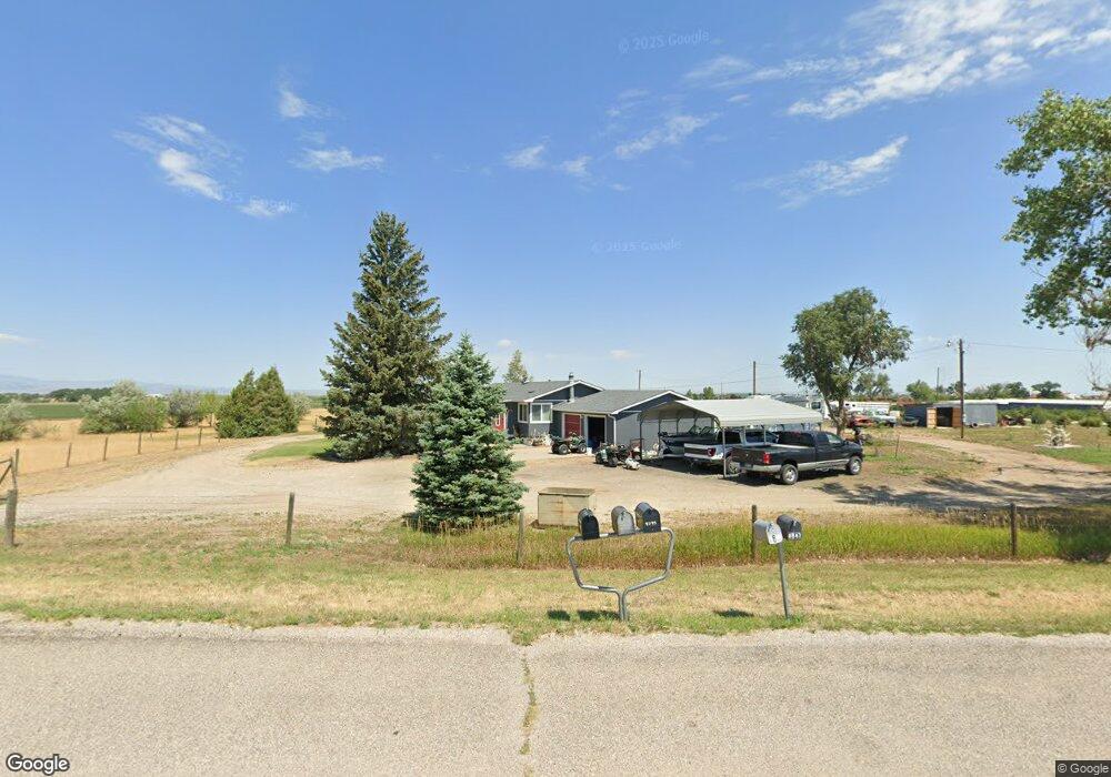
4837 State Highway 34 Wheatland, WY 82201
Estimated Value: $265,000 - $638,000
--
Bed
--
Bath
1,248
Sq Ft
$306/Sq Ft
Est. Value
About This Home
This home is located at 4837 State Highway 34, Wheatland, WY 82201 and is currently estimated at $381,297, approximately $305 per square foot. 4837 State Highway 34 is a home located in Platte County.
Ownership History
Date
Name
Owned For
Owner Type
Purchase Details
Closed on
Nov 16, 2006
Sold by
Matthews Brian and Matthews Valerie L
Bought by
Matthews Brian and Matthews Valerie L
Current Estimated Value
Create a Home Valuation Report for This Property
The Home Valuation Report is an in-depth analysis detailing your home's value as well as a comparison with similar homes in the area
Home Values in the Area
Average Home Value in this Area
Purchase History
| Date | Buyer | Sale Price | Title Company |
|---|---|---|---|
| Matthews Brian | -- | -- |
Source: Public Records
Tax History Compared to Growth
Tax History
| Year | Tax Paid | Tax Assessment Tax Assessment Total Assessment is a certain percentage of the fair market value that is determined by local assessors to be the total taxable value of land and additions on the property. | Land | Improvement |
|---|---|---|---|---|
| 2025 | $1,284 | $14,838 | $2,254 | $12,584 |
| 2024 | $1,284 | $18,882 | $2,890 | $15,992 |
| 2023 | $1,237 | $18,186 | $2,558 | $15,628 |
| 2022 | $1,236 | $17,409 | $2,558 | $14,851 |
| 2021 | $1,200 | $16,903 | $2,413 | $14,490 |
| 2020 | $1,141 | $16,069 | $2,413 | $13,656 |
| 2019 | $1,092 | $15,491 | $2,413 | $13,078 |
| 2018 | $1,086 | $15,399 | $2,413 | $12,986 |
| 2017 | $1,027 | $14,572 | $2,413 | $12,159 |
| 2016 | $976 | $13,842 | $2,413 | $11,429 |
| 2015 | $903 | $13,305 | $2,413 | $10,892 |
| 2014 | $903 | $12,850 | $2,413 | $10,437 |
Source: Public Records
Map
Nearby Homes
- 4820 State Highway 34
- 4843 State Highway 34
- 4851 State Highway 34
- 4847 State Highway 34
- 4809 State Highway 34
- 4809 State Highway 34
- 876 Grange Rd
- 874 Grange Rd
- 923 Grange Rd
- 1178 Hightower Rd
- 347 Olson Rd
- 341 Olson Rd
- 4743 State Highway 34
- 4740 State Highway 34
- 4910 State Highway 34
- 4910 State Highway 34
- 827 Grange Rd
- 4914 State Highway 34
- 980 Grange Road
- 980 Grange Rd