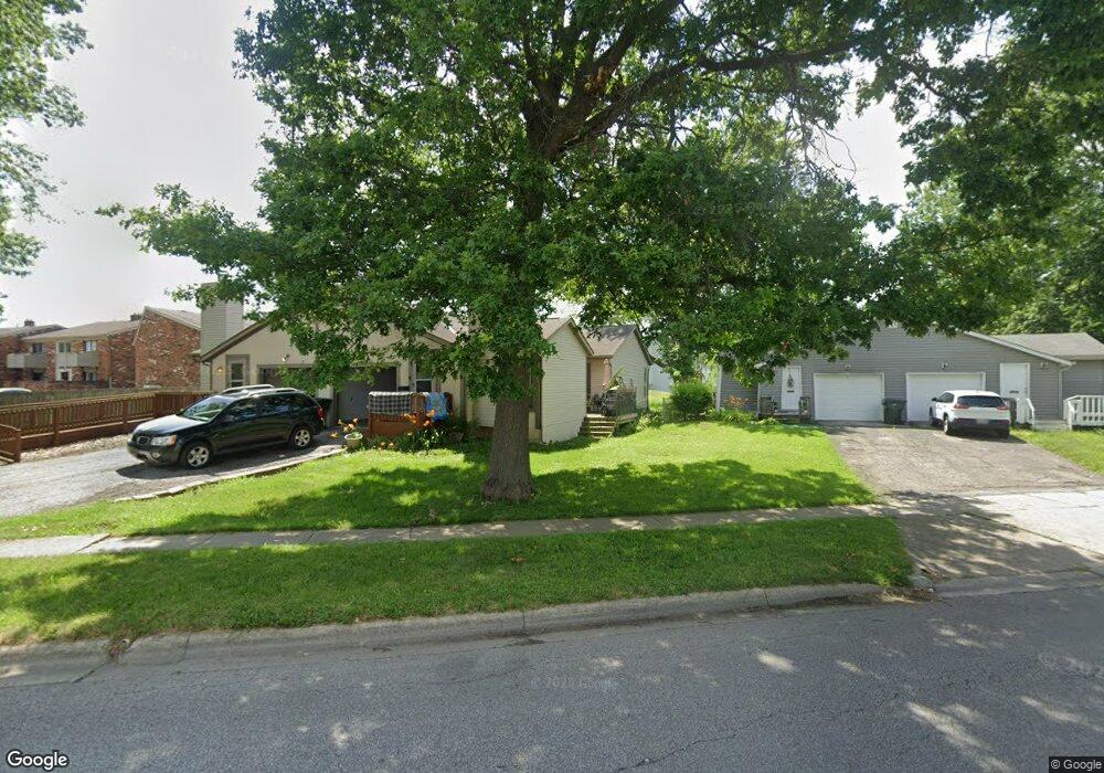
4837 Tamarack Blvd Columbus, OH 43229
Forest Park East NeighborhoodEstimated Value: $315,000 - $359,000
4
Beds
2
Baths
2,364
Sq Ft
$141/Sq Ft
Est. Value
About This Home
This home is located at 4837 Tamarack Blvd, Columbus, OH 43229 and is currently estimated at $333,869, approximately $141 per square foot. 4837 Tamarack Blvd is a home located in Franklin County with nearby schools including Parkmoor Elementary School, Woodward Park Middle School, and Northland High School.
Ownership History
Date
Name
Owned For
Owner Type
Purchase Details
Closed on
Sep 8, 2003
Sold by
Furlong Robert W
Bought by
Furlong Frank J
Current Estimated Value
Purchase Details
Closed on
Jul 23, 2001
Sold by
Furlong Frank J
Bought by
Furlong Robert W
Purchase Details
Closed on
Jun 22, 1992
Bought by
Furlong Frank J
Purchase Details
Closed on
May 4, 1992
Purchase Details
Closed on
Oct 11, 1988
Create a Home Valuation Report for This Property
The Home Valuation Report is an in-depth analysis detailing your home's value as well as a comparison with similar homes in the area
Home Values in the Area
Average Home Value in this Area
Purchase History
| Date | Buyer | Sale Price | Title Company |
|---|---|---|---|
| Furlong Frank J | -- | -- | |
| Furlong Robert W | -- | -- | |
| Furlong Frank J | $115,000 | -- | |
| -- | $115,000 | -- | |
| -- | $103,000 | -- |
Source: Public Records
Tax History Compared to Growth
Tax History
| Year | Tax Paid | Tax Assessment Tax Assessment Total Assessment is a certain percentage of the fair market value that is determined by local assessors to be the total taxable value of land and additions on the property. | Land | Improvement |
|---|---|---|---|---|
| 2024 | $4,363 | $95,200 | $23,730 | $71,470 |
| 2023 | $4,308 | $95,200 | $23,730 | $71,470 |
| 2022 | $2,937 | $55,270 | $14,700 | $40,570 |
| 2021 | $2,942 | $55,270 | $14,700 | $40,570 |
| 2020 | $2,947 | $55,270 | $14,700 | $40,570 |
| 2019 | $2,745 | $44,140 | $11,760 | $32,380 |
| 2018 | $2,818 | $44,140 | $11,760 | $32,380 |
| 2017 | $2,963 | $44,140 | $11,760 | $32,380 |
| 2016 | $3,182 | $46,830 | $11,620 | $35,210 |
| 2015 | $2,897 | $46,830 | $11,620 | $35,210 |
| 2014 | $2,904 | $46,830 | $11,620 | $35,210 |
| 2013 | $1,549 | $51,345 | $12,215 | $39,130 |
Source: Public Records
Map
Nearby Homes
- 4866 Woodthrush Way
- 5022 Sienna Ln
- 4714 Ascot Dr
- 4923 Karl Rd Unit 4925
- 2033 Brittany Rd
- 1744 Riverbirch Dr
- 1704 Riverbirch Dr
- 5004 Julie Place
- 4761 Colonel Perry Dr
- 4816 Bourke Rd
- 5124 Northcliff Loop W
- 4800 Bourke Rd
- 4849 Heatherton Dr
- 4815 Bourke Rd
- 2134 Trent Rd
- 4885 Northtowne Blvd
- 1414 Alvina Dr
- 2158 Kilbourne Ave
- 2058 Northcliff Dr
- 1385 Thurell Rd
- 4845 Tamarack Blvd
- 4842 Snowbird Cir
- 4844 Snowbird Cir Unit 15B
- 4840 Snowbird Cir
- 4840 Snowbird Cir Unit 16-A
- 4857 Tamarack Blvd
- 4846 Snowbird Cir Unit 15A
- 4842 Tamarack Blvd Unit 844
- 4848 Snowbird Cir Unit 14B
- 4850 Snowbird Cir
- 4850 Snowbird Cir Unit A
- 4850 Snowbird Cir Unit 14-A
- 1800 Coghill Dr
- 1822 Sharbot Dr Unit 824
- 1765 Nestling Dr
- 4852 Snowbird Cir Unit 13B
- 4816 Tamarack Blvd
- 4874 Tamarack Blvd
- 1757 Nestling Dr
- 1821 Coghill Dr