48371 State Route 18 Wellington, OH 44090
Estimated Value: $290,000 - $411,000
4
Beds
3
Baths
2,050
Sq Ft
$174/Sq Ft
Est. Value
About This Home
This home is located at 48371 State Route 18, Wellington, OH 44090 and is currently estimated at $356,953, approximately $174 per square foot. 48371 State Route 18 is a home located in Lorain County with nearby schools including Westwood Elementary School, McCormick Middle School, and Wellington High School.
Ownership History
Date
Name
Owned For
Owner Type
Purchase Details
Closed on
Aug 30, 2004
Sold by
Hurst Brian M
Bought by
Sizer John and Sizer Lisa
Current Estimated Value
Home Financials for this Owner
Home Financials are based on the most recent Mortgage that was taken out on this home.
Original Mortgage
$174,000
Outstanding Balance
$96,000
Interest Rate
7.62%
Mortgage Type
Purchase Money Mortgage
Estimated Equity
$260,954
Purchase Details
Closed on
Aug 16, 2000
Sold by
Woods Calvin G and Woods Darlene M
Bought by
Hurst Brian M
Home Financials for this Owner
Home Financials are based on the most recent Mortgage that was taken out on this home.
Original Mortgage
$117,300
Interest Rate
8.12%
Purchase Details
Closed on
Jul 13, 2000
Sold by
Woods Calvin G and Woods Darlene M
Bought by
Woods Calvin G and Woods Darlene M
Home Financials for this Owner
Home Financials are based on the most recent Mortgage that was taken out on this home.
Original Mortgage
$117,300
Interest Rate
8.12%
Create a Home Valuation Report for This Property
The Home Valuation Report is an in-depth analysis detailing your home's value as well as a comparison with similar homes in the area
Home Values in the Area
Average Home Value in this Area
Purchase History
| Date | Buyer | Sale Price | Title Company |
|---|---|---|---|
| Sizer John | $174,000 | Guardian Title | |
| Hurst Brian M | $27,600 | Lorain County Title Co Inc | |
| Woods Calvin G | -- | Lorain County Title Co Inc |
Source: Public Records
Mortgage History
| Date | Status | Borrower | Loan Amount |
|---|---|---|---|
| Open | Sizer John | $174,000 | |
| Closed | Hurst Brian M | $117,300 |
Source: Public Records
Tax History Compared to Growth
Tax History
| Year | Tax Paid | Tax Assessment Tax Assessment Total Assessment is a certain percentage of the fair market value that is determined by local assessors to be the total taxable value of land and additions on the property. | Land | Improvement |
|---|---|---|---|---|
| 2024 | $4,149 | $103,492 | $21,700 | $81,792 |
| 2023 | $3,551 | $78,628 | $19,114 | $59,514 |
| 2022 | $3,506 | $78,628 | $19,114 | $59,514 |
| 2021 | $3,508 | $78,628 | $19,114 | $59,514 |
| 2020 | $3,277 | $68,200 | $16,580 | $51,620 |
| 2019 | $3,221 | $68,200 | $16,580 | $51,620 |
| 2018 | $3,230 | $68,200 | $16,580 | $51,620 |
| 2017 | $3,290 | $64,540 | $15,720 | $48,820 |
| 2016 | $3,289 | $64,540 | $15,720 | $48,820 |
| 2015 | $3,282 | $64,540 | $15,720 | $48,820 |
| 2014 | $2,569 | $62,360 | $15,190 | $47,170 |
| 2013 | $2,569 | $62,360 | $15,190 | $47,170 |
Source: Public Records
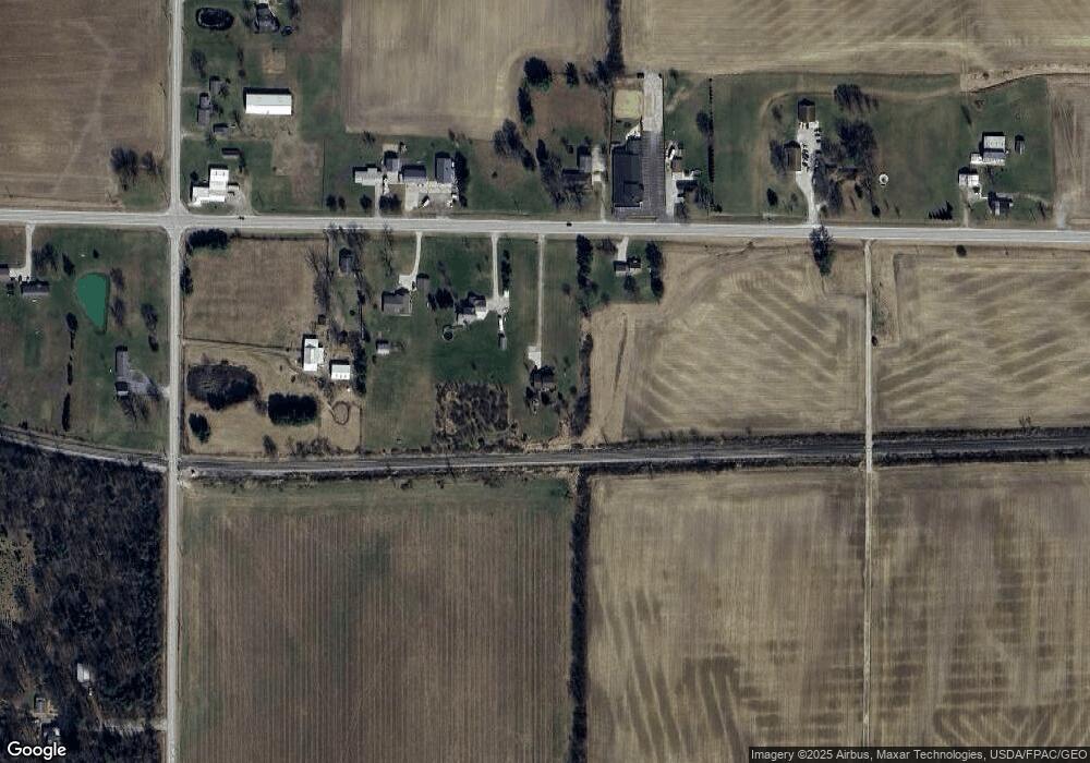
Map
Nearby Homes
- 20765 Quarry Rd
- 21251 Pitts Rd
- 20303 Mosher Rd
- 111 S Mill St
- 220 Woodland St
- 428 Prospect St
- 0 Peck Wadsworth Rd
- 115 Vine St
- 112 Vine St
- 238 Reserve Cir
- 125 Pleasant St
- 508 Courtland St
- 208 Jones Rd
- 120 Hale St
- 292 Grand Ave
- 400 Barker St
- 805 Regent Ct
- 207 Grand Ave
- 513 E Herrick Ave
- 22697 Gore Orphanage Rd
- 48375 State Route 18
- 48321 State Route 18
- 48415 State Route 18
- 48414 State Route 18
- 48348 State Route 18
- 48437 State Route 18
- 48300 State Route 18
- 48240 State Route 18
- 48480 State Route 18
- 21925 Quarry Rd
- 22110 Quarry Rd
- 21845 Quarry Rd
- VL Quarry
- V/L Quarry Rd
- 48182 State Route 18
- 48593 State Route 18
- 21761 Quarry Rd
- 48657 State Route 18
- 22575 Quarry Rd
- 48683 Ohio 18