4839 Santenay Ln Sparks, NV 89436
Los Altos Parkway NeighborhoodEstimated Value: $536,000 - $639,000
3
Beds
2
Baths
1,769
Sq Ft
$340/Sq Ft
Est. Value
About This Home
This home is located at 4839 Santenay Ln, Sparks, NV 89436 and is currently estimated at $601,029, approximately $339 per square foot. 4839 Santenay Ln is a home with nearby schools including Miguel Sepulveda Elementary School, Sky Ranch Middle School, and Edward C Reed High School.
Ownership History
Date
Name
Owned For
Owner Type
Purchase Details
Closed on
Aug 9, 2012
Sold by
Sonoma At Vineyards Llc
Bought by
Smith Joel M and Smith Bonnie K
Current Estimated Value
Home Financials for this Owner
Home Financials are based on the most recent Mortgage that was taken out on this home.
Original Mortgage
$224,000
Interest Rate
3.29%
Mortgage Type
New Conventional
Purchase Details
Closed on
Aug 7, 2012
Sold by
Vineyard Investors Llc
Bought by
Sonoma At Vineyards Llc
Home Financials for this Owner
Home Financials are based on the most recent Mortgage that was taken out on this home.
Original Mortgage
$224,000
Interest Rate
3.29%
Mortgage Type
New Conventional
Create a Home Valuation Report for This Property
The Home Valuation Report is an in-depth analysis detailing your home's value as well as a comparison with similar homes in the area
Home Values in the Area
Average Home Value in this Area
Purchase History
| Date | Buyer | Sale Price | Title Company |
|---|---|---|---|
| Smith Joel M | $303,000 | First American Title Reno | |
| Sonoma At Vineyards Llc | $117,000 | First American Title Reno |
Source: Public Records
Mortgage History
| Date | Status | Borrower | Loan Amount |
|---|---|---|---|
| Previous Owner | Smith Joel M | $224,000 |
Source: Public Records
Tax History Compared to Growth
Tax History
| Year | Tax Paid | Tax Assessment Tax Assessment Total Assessment is a certain percentage of the fair market value that is determined by local assessors to be the total taxable value of land and additions on the property. | Land | Improvement |
|---|---|---|---|---|
| 2025 | $3,927 | $156,807 | $39,305 | $117,502 |
| 2024 | $3,927 | $152,605 | $34,650 | $117,955 |
| 2023 | $3,817 | $157,255 | $46,270 | $110,985 |
| 2022 | $3,703 | $127,154 | $34,965 | $92,189 |
| 2021 | $3,598 | $120,265 | $28,840 | $91,425 |
| 2020 | $3,490 | $120,507 | $29,225 | $91,282 |
| 2019 | $3,390 | $116,527 | $28,525 | $88,002 |
| 2018 | $3,293 | $106,397 | $20,615 | $85,782 |
| 2017 | $3,195 | $105,934 | $20,265 | $85,669 |
| 2016 | $3,112 | $103,182 | $19,705 | $83,477 |
| 2015 | $3,106 | $94,129 | $16,520 | $77,609 |
| 2014 | $3,016 | $87,417 | $15,785 | $71,632 |
| 2013 | -- | $81,561 | $14,175 | $67,386 |
Source: Public Records
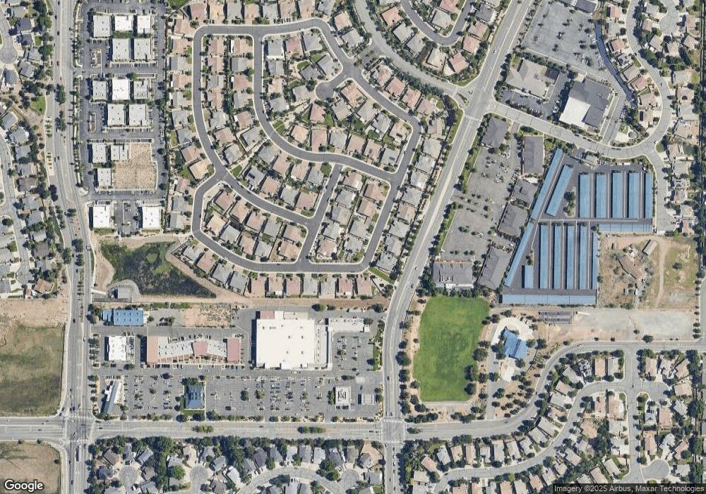
Map
Nearby Homes
- 1215 Ebling Dr
- 4748 Pradera St
- 4515 Whitney Cir
- 1550 Istrice Rd
- 1560 Freeman Way
- 1304 Lambrusca Dr
- 1388 Lambrays Ln
- 4950 San Diego Ct
- 5105 Santa Anita Dr
- 4675 Firtree Ln
- 1357 Silver View Cir
- 5049 Keams Ct
- 1484 Serendipity Ct
- 1685 Southview Dr
- 4393 Acobat Ct
- 5276 Santa Rosa Ave
- 4750 Desert Song Ct
- 1557 Satellite Dr
- 3988 Ella Jayne Ct Unit Lot 6
- 1475 Golddust Dr
- 4843 Santenay Ln
- 4768 Soave St
- 4758 Soave St
- 4838 Santenay Ln
- 4778 Soave St
- 4842 Santenay Ln
- 4849 Santenay Ln
- 1291 Ambonnay Ln
- 1285 Ambonnay Ln
- 4848 Santenay Ln
- 4788 Soave St
- 1277 Ambonnay Ln
- 1271 Ambonnay Ln
- 4852 Santenay Ln
- 4757 Soave St
- 4774 Ravello Dr
- 4798 Soave St
- 1263 Ambonnay Ln
- 4858 Santenay Ln
- 4827 Brunello Dr