484 Barton North Dr Ann Arbor, MI 48105
Estimated Value: $1,644,817 - $1,723,000
4
Beds
5
Baths
4,607
Sq Ft
$366/Sq Ft
Est. Value
About This Home
This home is located at 484 Barton North Dr, Ann Arbor, MI 48105 and is currently estimated at $1,686,939, approximately $366 per square foot. 484 Barton North Dr is a home located in Washtenaw County with nearby schools including Wines Elementary School, Forsythe Middle School, and Skyline High School.
Ownership History
Date
Name
Owned For
Owner Type
Purchase Details
Closed on
Aug 15, 2025
Sold by
484 Barton North Trust and Bryn Mawr Trust Company Of Delaware
Bought by
Kovanda Stevie
Current Estimated Value
Purchase Details
Closed on
Mar 27, 2024
Sold by
Stevie Marie Jones 2012 Irrevocable Trus and Kalmbach Patricia A
Bought by
484 Barton North Trust and Bryn Mawr Trust
Purchase Details
Closed on
May 25, 2023
Sold by
Bednar Daniel George and Bednar Michelle Marie
Bought by
Stevie Marie Jones 2012 Irrevocable Trust
Purchase Details
Closed on
Jan 3, 2022
Sold by
Evelyn G Pickard Trust
Bought by
Bednar Daniel George and Bednar Michelle Marie
Create a Home Valuation Report for This Property
The Home Valuation Report is an in-depth analysis detailing your home's value as well as a comparison with similar homes in the area
Home Values in the Area
Average Home Value in this Area
Purchase History
| Date | Buyer | Sale Price | Title Company |
|---|---|---|---|
| Kovanda Stevie | -- | None Listed On Document | |
| 484 Barton North Trust | -- | None Listed On Document | |
| Stevie Marie Jones 2012 Irrevocable Trust | $1,550,000 | Preferred Title | |
| Bednar Daniel George | $1,400,000 | None Available |
Source: Public Records
Tax History Compared to Growth
Tax History
| Year | Tax Paid | Tax Assessment Tax Assessment Total Assessment is a certain percentage of the fair market value that is determined by local assessors to be the total taxable value of land and additions on the property. | Land | Improvement |
|---|---|---|---|---|
| 2025 | $9,835 | $281,700 | $0 | $0 |
| 2024 | $25,171 | $756,500 | $0 | $0 |
| 2023 | $20,983 | $818,900 | $0 | $0 |
| 2022 | $29,885 | $788,900 | $0 | $0 |
| 2021 | $20,657 | $786,800 | $0 | $0 |
| 2020 | $21,163 | $757,690 | $0 | $0 |
| 2019 | $19,918 | $633,920 | $633,920 | $0 |
| 2018 | $25,822 | $573,650 | $254,430 | $319,220 |
| 2017 | $24,012 | $615,000 | $0 | $0 |
| 2016 | $17,555 | $496,138 | $0 | $0 |
| 2015 | -- | $494,655 | $0 | $0 |
| 2014 | -- | $479,199 | $0 | $0 |
| 2013 | -- | $479,199 | $0 | $0 |
Source: Public Records
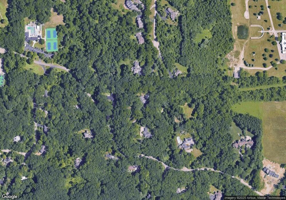
Map
Nearby Homes
- 341 Corrie Rd
- 102 Samara Lane Ct
- 3470 Maple Ridge Dr
- 3440 Maple Ridge Dr
- 3415 Maple Ridge Dr
- Morenci Plan at Barton Ridge
- Brant Plan at Barton Ridge
- Haslett Plan at Barton Ridge
- Alma Plan at Barton Ridge
- Decker Plan at Barton Ridge
- 2277 W Huron River Dr
- 2650 White Oak Dr
- 2865 Dillon Dr
- 3500 Pontiac Trail
- 2208 Applewood Ct
- 2757 Polson St
- 2678 S Knightsbridge Cir Unit 24
- 2136 Newport Rd
- The Keswick End Walkout Plan at Bristol Ridge Townhomes
- The Highbridge Plan at Bristol Ridge Townhomes
- 484 Barton Dr N
- 490 Barton North Dr
- 3513 Barton Farm Dr
- 440 Barton North Dr
- 340 Barton Dr N
- 520 Barton North Dr
- 3559 Barton Farm Dr
- 340 Barton North Dr
- 505 Barton North Dr
- 457 Barton North Dr
- 485 Barton North Dr
- 415 Barton North Dr
- 3605 Barton Farm Dr
- 3628 Barton Farm Dr
- 471 Barton North Dr
- 3651 Barton Farm Dr
- 430 Hillspur Rd
- 625 Spring Valley Rd
- 647 Spring Valley Rd
- 0 Country Club Rd