484 Chestatee View Dr Dawsonville, GA 30534
Dawson County NeighborhoodEstimated Value: $1,152,000 - $1,354,734
4
Beds
3
Baths
2,142
Sq Ft
$572/Sq Ft
Est. Value
About This Home
This home is located at 484 Chestatee View Dr, Dawsonville, GA 30534 and is currently estimated at $1,224,184, approximately $571 per square foot. 484 Chestatee View Dr is a home located in Dawson County with nearby schools including Kilough Elementary School, Dawson County Middle School, and Dawson County Junior High School.
Ownership History
Date
Name
Owned For
Owner Type
Purchase Details
Closed on
Oct 11, 2002
Sold by
Lanier Propertycom Inc
Bought by
Mcloughlin Christopher A
Current Estimated Value
Purchase Details
Closed on
May 2, 2002
Sold by
Byste Inc
Bought by
Lanier Propertycom Inc
Purchase Details
Closed on
Aug 6, 1986
Bought by
Byste Inc
Create a Home Valuation Report for This Property
The Home Valuation Report is an in-depth analysis detailing your home's value as well as a comparison with similar homes in the area
Home Values in the Area
Average Home Value in this Area
Purchase History
| Date | Buyer | Sale Price | Title Company |
|---|---|---|---|
| Mcloughlin Christopher A | $10,000 | -- | |
| Mcloughlin Christopher A | $492,600 | -- | |
| Lanier Propertycom Inc | $150,000 | -- | |
| Byste Inc | $225,000 | -- |
Source: Public Records
Tax History Compared to Growth
Tax History
| Year | Tax Paid | Tax Assessment Tax Assessment Total Assessment is a certain percentage of the fair market value that is determined by local assessors to be the total taxable value of land and additions on the property. | Land | Improvement |
|---|---|---|---|---|
| 2024 | $8,044 | $482,760 | $257,800 | $224,960 |
| 2023 | $7,851 | $497,400 | $246,320 | $251,080 |
| 2022 | $7,666 | $357,840 | $164,200 | $193,640 |
| 2021 | $7,026 | $310,560 | $136,840 | $173,720 |
| 2020 | $7,315 | $309,120 | $136,840 | $172,280 |
| 2019 | $7,134 | $298,920 | $136,840 | $162,080 |
| 2018 | $7,149 | $298,920 | $136,840 | $162,080 |
| 2017 | $7,053 | $294,895 | $104,000 | $190,895 |
| 2016 | $6,777 | $283,357 | $91,000 | $192,357 |
| 2015 | $5,939 | $240,592 | $91,000 | $149,592 |
| 2014 | $5,808 | $227,923 | $91,000 | $136,923 |
| 2013 | -- | $190,694 | $72,800 | $117,894 |
Source: Public Records
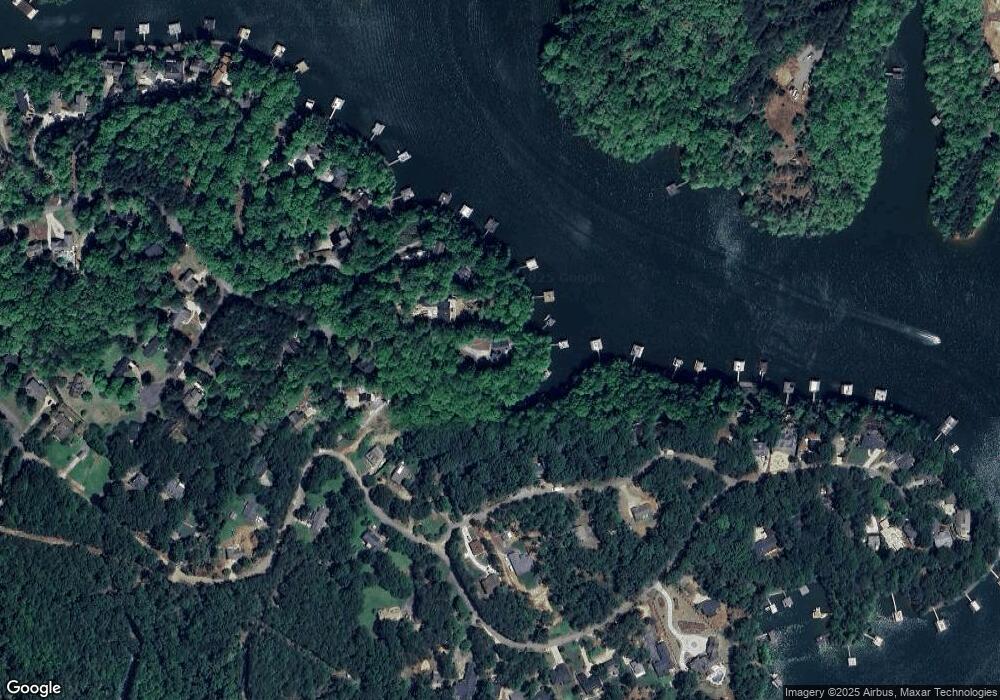
Map
Nearby Homes
- 537 Chestatee View Dr
- 289 Chestatee View Dr
- 6011 Tradewinds Cove
- 6008 Tradewinds Cove
- 6113 Deepwater Cove
- 94 Dawson Dr
- 6157 Grant Ford Rd
- 6342 Chesla Dr
- 6317 Falcon Ln
- 89 Silver Fox Dr
- 6187 Grants Ford Dr
- 6039 Bluewater Blvd
- 88 Toto Creek Dr W
- 6324 Chesla Dr
- 6223 Eagle Ct
- 6223 Eagle Ct Unit 6215, 6219 INCLUDED
- 6462 Waterscape Ridge
- 6453 Waterscape Ridge
- 492 Chestatee View Dr
- 387 Chestatee View Dr Unit 1
- 387 Chestatee View Dr
- 387 Chestatee View Dr Unit 387
- 462 Chestatee View Dr
- 85 N Chestatee Point
- 69 N Chestatee Point Unit 43
- 69 N Chestatee Point
- 23 N Chestatee Point
- 681 Chestatee Point
- 129 N Chestatee Point Unit 40
- 129 N Chestatee Point
- 45 N Chestatee Point
- 15 N Chestatee Point
- 693 Chestatee Point
- 159 N Chestatee Point Unit Lot 36
- N N Chestatee Point Unit LOT 45
- N N Chestatee Point Unit LOT 2
- 159 N Chestatee Point
- N N Chestatee Point Unit Lot 1