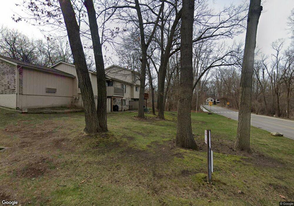
484 Forest Dr Brighton, MI 48116
Estimated Value: $227,674 - $259,000
2
Beds
1
Bath
1,150
Sq Ft
$214/Sq Ft
Est. Value
About This Home
This home is located at 484 Forest Dr, Brighton, MI 48116 and is currently estimated at $246,669, approximately $214 per square foot. 484 Forest Dr is a home located in Livingston County with nearby schools including Hilton Road Elementary School, Scranton Middle School, and Brighton High School.
Ownership History
Date
Name
Owned For
Owner Type
Purchase Details
Closed on
Sep 1, 2021
Sold by
Cannon Mark A
Bought by
Cannon Mark A and Mark A Cannon Revocable Living
Current Estimated Value
Purchase Details
Closed on
Jun 30, 2009
Sold by
Heynen Michael A and Heynen Julie F
Bought by
Cannon Mark A
Home Financials for this Owner
Home Financials are based on the most recent Mortgage that was taken out on this home.
Original Mortgage
$58,320
Interest Rate
5.32%
Mortgage Type
Purchase Money Mortgage
Purchase Details
Closed on
Dec 17, 1999
Sold by
Regan Stephen J and Regan Jerrine H
Bought by
Walker Bonita
Create a Home Valuation Report for This Property
The Home Valuation Report is an in-depth analysis detailing your home's value as well as a comparison with similar homes in the area
Home Values in the Area
Average Home Value in this Area
Purchase History
| Date | Buyer | Sale Price | Title Company |
|---|---|---|---|
| Cannon Mark A | -- | None Available | |
| Cannon Mark A | $72,900 | -- | |
| Walker Bonita | $133,000 | Metropolitan Title Company |
Source: Public Records
Mortgage History
| Date | Status | Borrower | Loan Amount |
|---|---|---|---|
| Closed | Cannon Mark A | $58,320 |
Source: Public Records
Tax History
| Year | Tax Paid | Tax Assessment Tax Assessment Total Assessment is a certain percentage of the fair market value that is determined by local assessors to be the total taxable value of land and additions on the property. | Land | Improvement |
|---|---|---|---|---|
| 2025 | $2,078 | $109,200 | $0 | $0 |
| 2024 | $2,021 | $103,200 | $0 | $0 |
| 2023 | $1,924 | $89,400 | $0 | $0 |
| 2022 | $2,406 | $72,000 | $0 | $0 |
| 2021 | $2,360 | $86,600 | $0 | $0 |
| 2020 | $2,347 | $73,400 | $0 | $0 |
| 2019 | $2,326 | $72,000 | $0 | $0 |
| 2018 | $2,091 | $71,600 | $0 | $0 |
| 2017 | $2,052 | $73,400 | $0 | $0 |
| 2016 | $2,037 | $63,400 | $0 | $0 |
| 2014 | $2,018 | $47,930 | $0 | $0 |
| 2012 | $2,018 | $45,600 | $0 | $0 |
Source: Public Records
Map
Nearby Homes
- 119 Pondview Ct Unit 9
- 594 Anne Ave
- 584 Anne Ave
- 660 Flint Rd
- 224 Sean St
- 605 Jenny Way Unit 12
- 4125 Flint Rd
- 8741 Green Willow St Unit 11
- 8719 Meadowbrook Dr Unit 5
- 8709 Candlewood Trail Unit 5
- 4378 Deeside Dr
- 0 Ben Hur Dr
- 525 Walnut St
- 523 Walnut St
- 302 N 2nd St Unit 5
- 109 S 2nd St Unit 17
- Northpointe Northpointe Ridge
- 224 S 2nd St
- 3894 Chatham Place
- 3894 Chatham Place Unit 98
- 484 Forest Dr Unit 46
- 486 Forest Dr
- 482 Forest Dr
- 476 Forest Dr
- 500 Stoneywood Dr
- 500 Stoneywood Dr Unit 30
- 496 Forest Dr Unit 44
- 4616 Spring Mountain Dr
- 474 Forest Dr Unit 41
- 4622 Spring Mountain Dr
- 502 Stoneywood Dr
- 4610 Spring Mountain Dr
- 4610 Spring Mountain Dr Unit 10
- 490 Forest Dr Unit 43
- 472 Forest Dr Unit 40
- 504 Stoneywood Dr Unit Bldg-Unit
- 504 Stoneywood Dr
- 4604 Spring Mountain Dr
- 470 Forest Dr
- 4598 Spring Mountain Dr
Your Personal Tour Guide
Ask me questions while you tour the home.