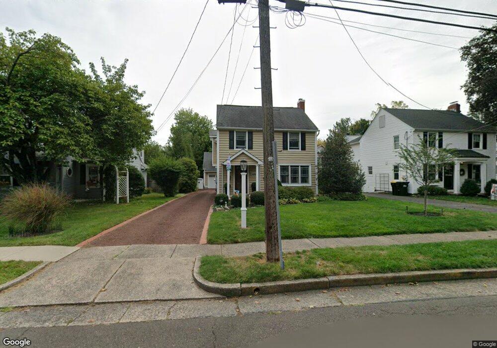
484 Maple Ave Doylestown, PA 18901
Estimated Value: $652,000 - $757,790
3
Beds
1
Bath
1,152
Sq Ft
$613/Sq Ft
Est. Value
About This Home
This home is located at 484 Maple Ave, Doylestown, PA 18901 and is currently estimated at $705,698, approximately $612 per square foot. 484 Maple Ave is a home located in Bucks County with nearby schools including Linden El School, Lenape Middle School, and Central Bucks High School-West.
Ownership History
Date
Name
Owned For
Owner Type
Purchase Details
Closed on
May 29, 2008
Sold by
Zelenevich John L
Bought by
Hartnett Diane E and Jarvis Christopher
Current Estimated Value
Home Financials for this Owner
Home Financials are based on the most recent Mortgage that was taken out on this home.
Original Mortgage
$292,000
Outstanding Balance
$187,949
Interest Rate
6.11%
Mortgage Type
Purchase Money Mortgage
Estimated Equity
$517,749
Purchase Details
Closed on
May 24, 2001
Sold by
Cole Florence B and Comes Judith C
Bought by
Zelenevich John L
Home Financials for this Owner
Home Financials are based on the most recent Mortgage that was taken out on this home.
Original Mortgage
$168,000
Interest Rate
7.14%
Create a Home Valuation Report for This Property
The Home Valuation Report is an in-depth analysis detailing your home's value as well as a comparison with similar homes in the area
Home Values in the Area
Average Home Value in this Area
Purchase History
| Date | Buyer | Sale Price | Title Company |
|---|---|---|---|
| Hartnett Diane E | $365,000 | None Available | |
| Zelenevich John L | $210,000 | Lawyers Title Insurance Corp |
Source: Public Records
Mortgage History
| Date | Status | Borrower | Loan Amount |
|---|---|---|---|
| Open | Hartnett Diane E | $292,000 | |
| Previous Owner | Zelenevich John L | $168,000 | |
| Closed | Zelenevich John L | $21,000 |
Source: Public Records
Tax History
| Year | Tax Paid | Tax Assessment Tax Assessment Total Assessment is a certain percentage of the fair market value that is determined by local assessors to be the total taxable value of land and additions on the property. | Land | Improvement |
|---|---|---|---|---|
| 2025 | $5,129 | $28,470 | $5,000 | $23,470 |
| 2024 | $5,129 | $28,470 | $5,000 | $23,470 |
| 2023 | $4,886 | $28,470 | $5,000 | $23,470 |
| 2022 | $4,819 | $28,470 | $5,000 | $23,470 |
| 2021 | $4,766 | $28,470 | $5,000 | $23,470 |
| 2020 | $4,713 | $28,470 | $5,000 | $23,470 |
| 2019 | $4,661 | $28,470 | $5,000 | $23,470 |
| 2018 | $4,604 | $28,470 | $5,000 | $23,470 |
| 2017 | $4,556 | $28,470 | $5,000 | $23,470 |
| 2016 | $4,065 | $25,400 | $5,000 | $20,400 |
| 2015 | -- | $25,400 | $5,000 | $20,400 |
| 2014 | -- | $25,400 | $5,000 | $20,400 |
Source: Public Records
Map
Nearby Homes
- 9 Maple Ln
- 5 Belmont Square
- 607 S Chubb Dr
- 146 E Court St
- 150 Selner Ln
- 169 N Main St
- 102 Clear Springs Ct
- 110 E Ashland St
- 69 E Oakland Ave
- 34 Houk Rd
- 236 Green St
- 45 Springs Dr
- 3660 Buttonwood Dr
- 6 Edison Ln Unit 1
- 117 Cottonwood Ct
- 190 Decatur St
- 807 N Broad St
- 215 N Franklin St
- 3795 Route 202
- 000 Cherry Ln
Your Personal Tour Guide
Ask me questions while you tour the home.