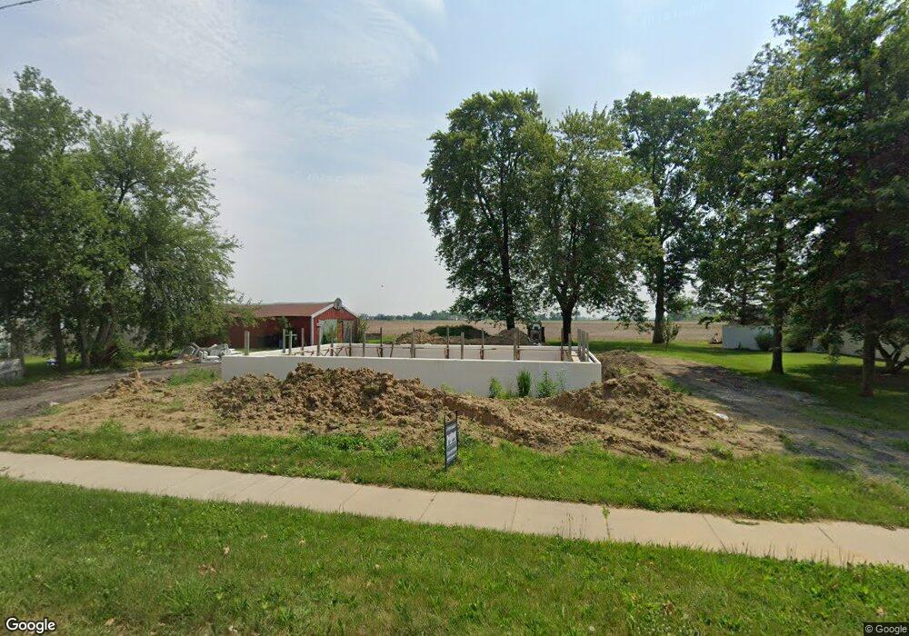
484 N Main St Britton, MI 49229
Estimated Value: $137,717 - $194,000
3
Beds
1
Bath
1,089
Sq Ft
$151/Sq Ft
Est. Value
About This Home
This home is located at 484 N Main St, Britton, MI 49229 and is currently estimated at $164,179, approximately $150 per square foot. 484 N Main St is a home located in Lenawee County with nearby schools including Britton-Macon Area School.
Ownership History
Date
Name
Owned For
Owner Type
Purchase Details
Closed on
Nov 18, 2021
Sold by
Kopka Robert L and Kopka William L
Bought by
Gasper Ronald J and Gasper Van E
Current Estimated Value
Purchase Details
Closed on
Dec 20, 2019
Sold by
Kopka Robert L and Kopka William L
Bought by
Kopka Robert L and Kopka William L
Purchase Details
Closed on
Mar 1, 2019
Sold by
Lenawee County Of
Bought by
Kopka Robert L
Purchase Details
Closed on
Apr 17, 2014
Sold by
Kopka Robert L
Bought by
Kopka Robert L and Kopka William Lee
Create a Home Valuation Report for This Property
The Home Valuation Report is an in-depth analysis detailing your home's value as well as a comparison with similar homes in the area
Home Values in the Area
Average Home Value in this Area
Purchase History
| Date | Buyer | Sale Price | Title Company |
|---|---|---|---|
| Gasper Ronald J | $25,000 | First American Title | |
| Kopka Robert L | -- | None Available | |
| Kopka Robert L | $2,066 | None Available | |
| Kopka Robert L | -- | None Available |
Source: Public Records
Tax History Compared to Growth
Tax History
| Year | Tax Paid | Tax Assessment Tax Assessment Total Assessment is a certain percentage of the fair market value that is determined by local assessors to be the total taxable value of land and additions on the property. | Land | Improvement |
|---|---|---|---|---|
| 2025 | $2,236 | $50,800 | $0 | $0 |
| 2024 | $941 | $51,100 | $0 | $0 |
| 2023 | $1,916 | $42,500 | $0 | $0 |
| 2022 | $730 | $40,700 | $0 | $0 |
| 2021 | $3,065 | $38,900 | $0 | $0 |
| 2020 | $1,846 | $36,300 | $0 | $0 |
| 2019 | $87,435 | $30,200 | $0 | $0 |
| 2018 | $1,791 | $30,224 | $0 | $0 |
| 2017 | $1,729 | $29,685 | $0 | $0 |
| 2016 | $1,659 | $29,085 | $0 | $0 |
| 2014 | -- | $33,243 | $0 | $0 |
Source: Public Records
Map
Nearby Homes
- 379 N Main St
- 306 N Main St
- 257 W Chicago Blvd
- 134 College Ave
- 298 E Chicago Blvd
- 8745 E Monroe Rd
- 9603 Ridge Hwy
- 9393 Mills MacOn Hwy
- 9761 Britton Hwy
- 9852 Mills MacOn Hwy
- 9000 BLK Mills-MacOn Hwy
- 5169 Alexander Dr
- 7484 Billmyer Hwy
- 8000 BLK Smith Rd
- 6655 Allen Rd
- 796 War Bonnet Dr
- 797 War Bonnet Dr
- 799 War Bonnet Dr
- 6 Wheatland Dr
- 1018 Ridgeview Dr
- 504 N Main St
- 514 N Main St
- 529 N Main St
- 533 N Main St
- 475 N Main St
- 469 N Main St
- 453 N Main St
- 547 N Main St
- 465 N Main St
- 438 N Main St
- 438 N Main St Unit MAIN
- 600 N Main St Unit BLK
- 100 10th St Unit BLK
- 0 Ninth St Unit and Tenth St 4007920
- 0 Ninth St Unit and Tenth St 92218
- 550 N Main St
- 434 N Main St
- 152 9th St
- 418 N Main St
- 162 9th St
