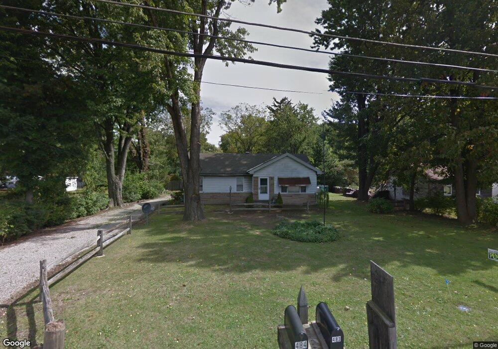
484 Park Rd Painesville, OH 44077
Estimated Value: $158,000 - $179,819
2
Beds
1
Bath
920
Sq Ft
$183/Sq Ft
Est. Value
About This Home
This home is located at 484 Park Rd, Painesville, OH 44077 and is currently estimated at $168,705, approximately $183 per square foot. 484 Park Rd is a home located in Lake County with nearby schools including Henry F. Lamuth Middle School, Riverside Junior/Senior High School, and Summit Academy Community School - Painesville.
Ownership History
Date
Name
Owned For
Owner Type
Purchase Details
Closed on
Oct 5, 2012
Sold by
Harding Joann
Bought by
Pike William L
Current Estimated Value
Home Financials for this Owner
Home Financials are based on the most recent Mortgage that was taken out on this home.
Original Mortgage
$52,000
Interest Rate
3.66%
Mortgage Type
New Conventional
Purchase Details
Closed on
Mar 7, 1989
Bought by
Harding Kenneth
Create a Home Valuation Report for This Property
The Home Valuation Report is an in-depth analysis detailing your home's value as well as a comparison with similar homes in the area
Home Values in the Area
Average Home Value in this Area
Purchase History
| Date | Buyer | Sale Price | Title Company |
|---|---|---|---|
| Pike William L | $65,000 | None Available | |
| Harding Kenneth | -- | -- |
Source: Public Records
Mortgage History
| Date | Status | Borrower | Loan Amount |
|---|---|---|---|
| Previous Owner | Pike William L | $52,000 |
Source: Public Records
Tax History Compared to Growth
Tax History
| Year | Tax Paid | Tax Assessment Tax Assessment Total Assessment is a certain percentage of the fair market value that is determined by local assessors to be the total taxable value of land and additions on the property. | Land | Improvement |
|---|---|---|---|---|
| 2024 | -- | $52,000 | $21,830 | $30,170 |
| 2023 | $4,275 | $39,230 | $17,530 | $21,700 |
| 2022 | $2,313 | $39,230 | $17,530 | $21,700 |
| 2021 | $2,322 | $39,230 | $17,530 | $21,700 |
| 2020 | $2,287 | $34,110 | $15,240 | $18,870 |
| 2019 | $2,304 | $34,110 | $15,240 | $18,870 |
| 2018 | $2,311 | $30,530 | $14,230 | $16,300 |
| 2017 | $2,136 | $30,530 | $14,230 | $16,300 |
| 2016 | $1,883 | $30,530 | $14,230 | $16,300 |
| 2015 | $1,750 | $30,530 | $14,230 | $16,300 |
| 2014 | $1,779 | $30,530 | $14,230 | $16,300 |
| 2013 | $1,739 | $30,530 | $14,230 | $16,300 |
Source: Public Records
Map
Nearby Homes
- 500 Park Rd
- 396 Park Rd
- 525 Morgan Dr
- V/L Morgan Dr
- 43 Bristol Ave
- 269 Hale Rd
- 108 Birch Dr
- 1182 Dalton Dr
- 67 Tanners Farm Dr
- 1172 Dalton Dr
- 65 Tanners Farm Dr
- 0 N Ridge Rd Unit 5110949
- 1787 Muirfield Ln
- 4505 Lane Rd
- 5406 Pebble Creek Ln
- 44 Grove Ave
- 389 Sand Trap Cir
- 1598 Bogie Ln
- 399 Sandtrap Cir
- 634 N Creek Dr
- 466 Park Rd
- 456 Park Rd
- 510 Park Rd
- 495 Park Rd
- 444 Park Rd
- S/L Park Rd
- 530 Park Rd
- 400 Manhattan Pkwy
- 397 Manhattan Pkwy
- 411 Manhattan Pkwy
- 391 Manhattan Pkwy
- 443 Park Rd
- 421 Manhattan Pkwy
- 436 Park Rd
- 381 Manhattan Pkwy
- 373 Manhattan Pkwy
- 426 Park Rd
- 435 Manhattan Pkwy
- 365 Manhattan Pkwy
- 431 Park Rd