484 Ridge Rd Blue Ridge, GA 30513
Estimated Value: $359,000 - $660,000
--
Bed
2
Baths
2,432
Sq Ft
$220/Sq Ft
Est. Value
About This Home
This home is located at 484 Ridge Rd, Blue Ridge, GA 30513 and is currently estimated at $536,055, approximately $220 per square foot. 484 Ridge Rd is a home located in Fannin County with nearby schools including Fannin County High School and Fannin Christian Learning Center.
Ownership History
Date
Name
Owned For
Owner Type
Purchase Details
Closed on
Dec 8, 2006
Sold by
Langgood Robert S
Bought by
Walls Charles B and Rebecca C Walls E
Current Estimated Value
Home Financials for this Owner
Home Financials are based on the most recent Mortgage that was taken out on this home.
Original Mortgage
$175,000
Outstanding Balance
$104,629
Interest Rate
6.31%
Mortgage Type
New Conventional
Estimated Equity
$431,426
Purchase Details
Closed on
Nov 18, 1996
Sold by
Holden Nick G and Holden Cynt
Bought by
Langgood Robert S
Create a Home Valuation Report for This Property
The Home Valuation Report is an in-depth analysis detailing your home's value as well as a comparison with similar homes in the area
Home Values in the Area
Average Home Value in this Area
Purchase History
| Date | Buyer | Sale Price | Title Company |
|---|---|---|---|
| Walls Charles B | $260,000 | -- | |
| Langgood Robert S | $26,500 | -- |
Source: Public Records
Mortgage History
| Date | Status | Borrower | Loan Amount |
|---|---|---|---|
| Open | Walls Charles B | $175,000 |
Source: Public Records
Tax History Compared to Growth
Tax History
| Year | Tax Paid | Tax Assessment Tax Assessment Total Assessment is a certain percentage of the fair market value that is determined by local assessors to be the total taxable value of land and additions on the property. | Land | Improvement |
|---|---|---|---|---|
| 2024 | $694 | $118,503 | $15,322 | $103,181 |
| 2023 | $773 | $100,160 | $15,322 | $84,838 |
| 2022 | $773 | $101,335 | $15,322 | $86,013 |
| 2021 | $514 | $59,486 | $7,238 | $52,248 |
| 2020 | $521 | $59,486 | $7,238 | $52,248 |
| 2019 | $531 | $59,486 | $7,238 | $52,248 |
| 2018 | $563 | $59,486 | $7,238 | $52,248 |
| 2017 | $1,065 | $60,206 | $7,238 | $52,968 |
| 2016 | $560 | $55,947 | $5,703 | $50,244 |
| 2015 | $566 | $54,962 | $10,254 | $44,707 |
| 2014 | $591 | $57,080 | $10,254 | $46,825 |
| 2013 | -- | $43,312 | $10,254 | $33,058 |
Source: Public Records
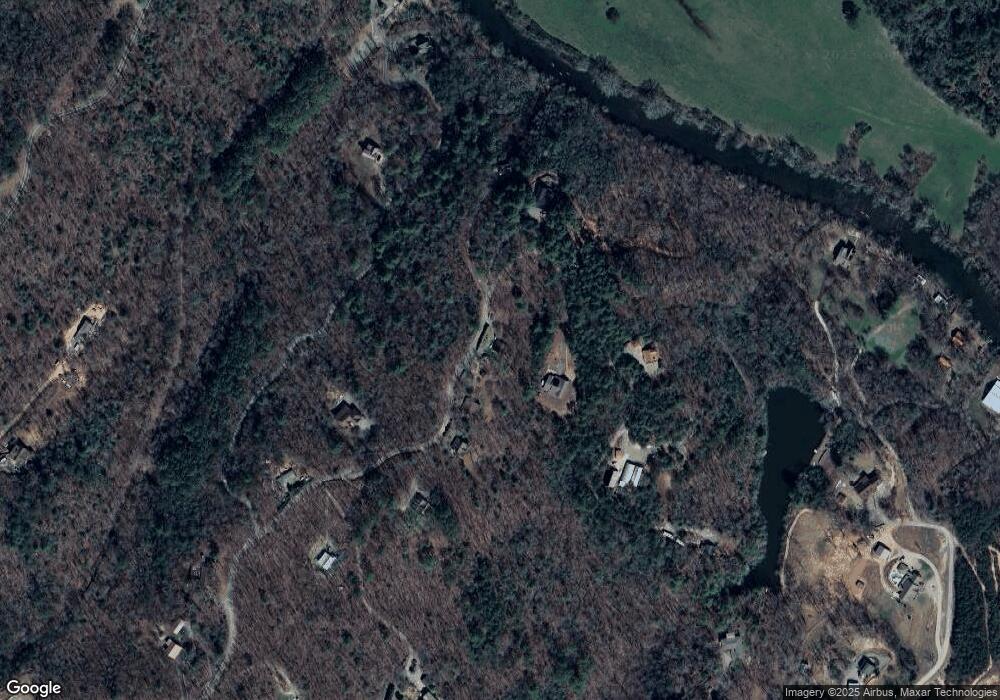
Map
Nearby Homes
- 93 Silver Oaks Ct
- 517 Ridge Rd
- Lt 13 Ridge Rd
- Unit 47 Grove Loop
- Unit 18 Grove Loop
- Unit 19 Grove Loop
- Unit 15 Grove Loop
- Unit 14 Grove Loop
- Unit 1 Grove Loop
- Unit 17 Grove Loop
- Unit 32 Grove Loop
- Unit 31 Grove Loop
- Unit 38 Grove Loop
- 4 Blackhawk Dr
- Unit 27 Grove Loop
- Unit 16 Grove Loop
- Unit 51 Grove Loop
- Unit 33 Grove Loop
- Unit 33 Grove Loop Unit 33
- 2 Blackhawk Dr
- 0 River Way
- L13 River Way
- 15 River Way
- 375 Ridge Rd
- LOT 2 Quail Ridge Rd
- LOT 1 Raleigh Ridge Dr
- LOT21 Ridge Rd
- L40 Ridge Rd
- LOT32 Major Ridge Rd
- LOT 2 Quail Ridge
- LOT 1 Raleigh Ridge
- 11 Indian Ridge
- 212 Indian Ridge
- 122 Indian Ridge
- 153 Indian Ridge
- 197 Indian Ridge
- LT 10 Chestnut Rail Ridge
- 0 Ridge Rd Unit 8615642
- LT22A Ridge Rd
- 0 Ridge Rd