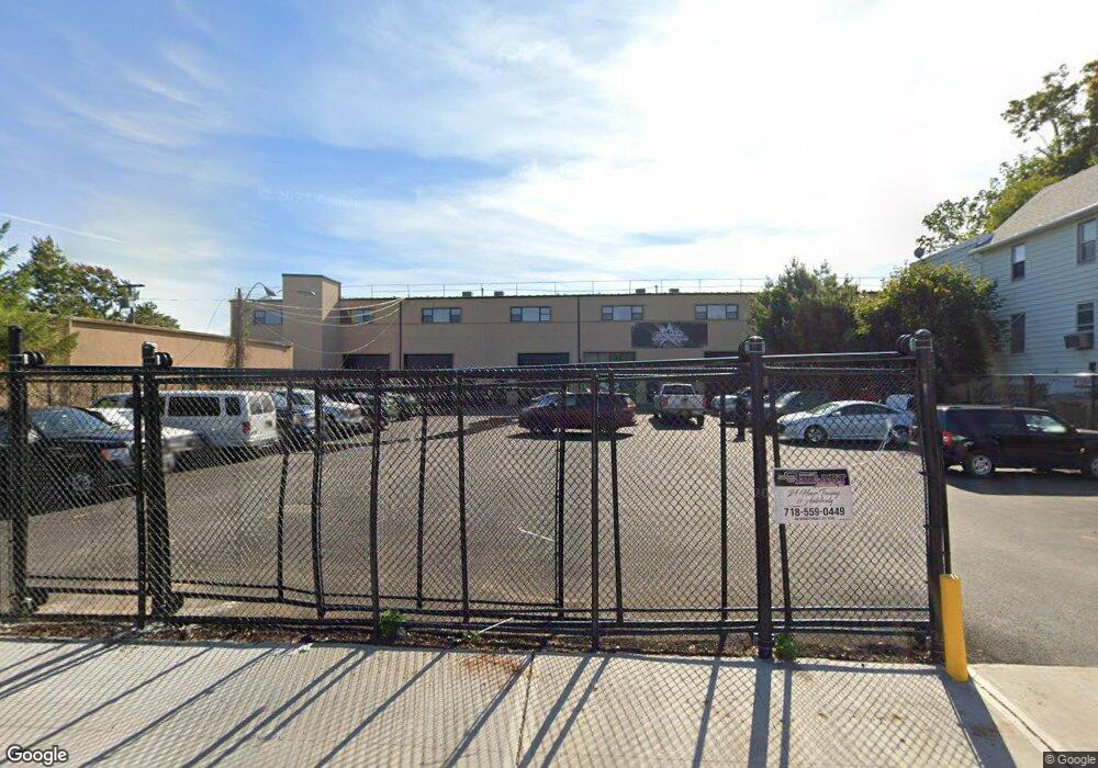
484 Sharrotts Rd Unit A,B,C,D Staten Island, NY 10309
Charleston Neighborhood
--
Bed
--
Bath
13,000
Sq Ft
0.63
Acres
About This Home
This home is located at 484 Sharrotts Rd Unit A,B,C,D, Staten Island, NY 10309. 484 Sharrotts Rd Unit A,B,C,D is a home located in Richmond County with nearby schools including P.S. 6 Cpl Allan F Kivlehan School, Is 34 Tottenville, and Tottenville High School.
Ownership History
Date
Name
Owned For
Owner Type
Purchase Details
Closed on
Jan 17, 2022
Sold by
New York Concrete Corporation
Bought by
Ml 484 Sharrotts Llc
Home Financials for this Owner
Home Financials are based on the most recent Mortgage that was taken out on this home.
Original Mortgage
$2,800,000
Outstanding Balance
$2,599,519
Interest Rate
3.69%
Mortgage Type
Seller Take Back
Purchase Details
Closed on
Sep 26, 2017
Sold by
Ippolito William
Bought by
New York Concrete Corp
Create a Home Valuation Report for This Property
The Home Valuation Report is an in-depth analysis detailing your home's value as well as a comparison with similar homes in the area
Home Values in the Area
Average Home Value in this Area
Purchase History
| Date | Buyer | Sale Price | Title Company |
|---|---|---|---|
| Ml 484 Sharrotts Llc | $4,000,000 | Chicago Title | |
| New York Concrete Corp | -- | First American Title Insuran |
Source: Public Records
Mortgage History
| Date | Status | Borrower | Loan Amount |
|---|---|---|---|
| Open | Ml 484 Sharrotts Llc | $2,800,000 |
Source: Public Records
Tax History Compared to Growth
Tax History
| Year | Tax Paid | Tax Assessment Tax Assessment Total Assessment is a certain percentage of the fair market value that is determined by local assessors to be the total taxable value of land and additions on the property. | Land | Improvement |
|---|---|---|---|---|
| 2025 | $50,604 | $539,100 | $309,600 | $229,500 |
| 2024 | $50,604 | $512,100 | $309,600 | $202,500 |
| 2023 | $52,309 | $491,350 | $309,600 | $181,750 |
| 2022 | $47,430 | $441,000 | $309,600 | $131,400 |
| 2021 | $45,380 | $424,350 | $309,600 | $114,750 |
| 2020 | $54,216 | $609,300 | $309,600 | $299,700 |
| 2019 | $49,007 | $580,050 | $309,600 | $270,450 |
| 2018 | $44,456 | $501,750 | $185,850 | $315,900 |
| 2017 | $41,456 | $442,350 | $185,850 | $256,500 |
| 2016 | $39,627 | $439,200 | $185,850 | $253,350 |
| 2015 | $36,708 | $367,200 | $185,850 | $181,350 |
| 2014 | $36,708 | $363,600 | $185,850 | $177,750 |
Source: Public Records
Map
Nearby Homes
- 0 Winant Place
- 60 Androvette St
- 97-99 Englewood Ave
- 54 Kreischer St
- 68 Tiller Ct
- 71 Topside Ln
- 66 Pilot Ln
- 0 Veterans Rd E
- 155 Darnell Ln
- 43 Chart Loop
- 33 White Oak Ln
- 97 Crabtree Ave
- 55 Quail Ln
- 117 Pembrook Loop
- 37 Quail Ln
- 182 Pembrook Loop
- 59 Pembrook Loop
- 50 Mallard Ln
- 119 Berkshire Ln
- 4795 Arthur Kill Rd
- 484 Sharrotts Rd Unit 1
- 484 Sharrotts Rd Unit B
- 484 Sharrotts Rd Unit C,D
- 484 Sharrotts Rd
- 478 Sharrotts Rd Unit 1
- 492 Sharrotts Rd
- 496 Sharrotts Rd
- 54 Marjorie St
- 506 Sharrotts Rd
- 428 Sharrotts Rd
- 448 Sharrotts Rd
- 64 Marjorie St
- 44-50 Marjorie St
- 44 Marjorie St
- 491 Sharrotts Rd
- 477 Sharrotts Rd
- 473 Sharrotts Rd
- 497 Sharrotts Rd
- 510 Sharrotts Rd
- 48 Marjorie St