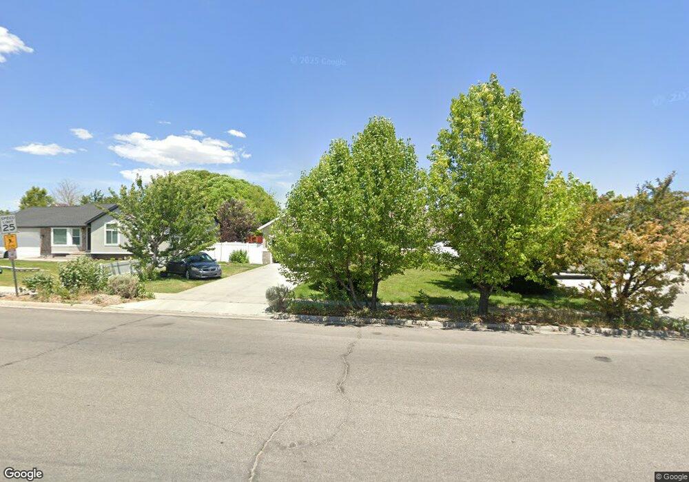
4840 Cedar Point Peak Dr Riverton, UT 84096
Estimated Value: $615,000 - $654,000
5
Beds
3
Baths
1,718
Sq Ft
$369/Sq Ft
Est. Value
About This Home
This home is located at 4840 Cedar Point Peak Dr, Riverton, UT 84096 and is currently estimated at $634,116, approximately $369 per square foot. 4840 Cedar Point Peak Dr is a home located in Salt Lake County with nearby schools including Foothills School, South Hills Middle School, and Mountain Ridge High School.
Ownership History
Date
Name
Owned For
Owner Type
Purchase Details
Closed on
Jun 15, 1999
Sold by
Larsen Gordon J and Larsen Jennifer C
Bought by
Dutson Bernhard W and Dutson Azora
Current Estimated Value
Purchase Details
Closed on
Sep 22, 1997
Sold by
Noble House Property Trust
Bought by
Larsen Gordon J and Larsen Jennifer C
Home Financials for this Owner
Home Financials are based on the most recent Mortgage that was taken out on this home.
Original Mortgage
$142,800
Interest Rate
7.45%
Purchase Details
Closed on
Jun 2, 1997
Sold by
Menghi Bill
Bought by
Noble House Property Trust and Miller Ken
Purchase Details
Closed on
Jan 2, 1997
Sold by
Development Associates Inc
Bought by
Menghi Bill
Create a Home Valuation Report for This Property
The Home Valuation Report is an in-depth analysis detailing your home's value as well as a comparison with similar homes in the area
Home Values in the Area
Average Home Value in this Area
Purchase History
| Date | Buyer | Sale Price | Title Company |
|---|---|---|---|
| Dutson Bernhard W | -- | Backman Stewart Title Servic | |
| Larsen Gordon J | -- | -- | |
| Noble House Property Trust | -- | -- | |
| Menghi Bill | -- | -- |
Source: Public Records
Mortgage History
| Date | Status | Borrower | Loan Amount |
|---|---|---|---|
| Previous Owner | Larsen Gordon J | $142,800 |
Source: Public Records
Tax History
| Year | Tax Paid | Tax Assessment Tax Assessment Total Assessment is a certain percentage of the fair market value that is determined by local assessors to be the total taxable value of land and additions on the property. | Land | Improvement |
|---|---|---|---|---|
| 2025 | $3,255 | $624,900 | $202,100 | $422,800 |
| 2024 | $3,255 | $563,400 | $185,700 | $377,700 |
| 2023 | $3,447 | $562,500 | $171,900 | $390,600 |
| 2022 | $3,550 | $568,300 | $168,500 | $399,800 |
| 2021 | $2,960 | $421,900 | $130,000 | $291,900 |
| 2020 | $2,886 | $383,400 | $101,100 | $282,300 |
| 2019 | $2,787 | $364,000 | $96,300 | $267,700 |
| 2016 | $2,448 | $294,400 | $89,000 | $205,400 |
Source: Public Records
Map
Nearby Homes
- 4722 W Cillian Ln Unit 2411
- 4714 W Cillian Ln
- 4714 W Cillian Ln Unit 2410
- 4688 W Cillian Ln Unit 2408
- 4688 W Cillian Ln
- 4682 W Cillian Ln
- 4682 W Cillian Ln Unit 2407
- 4676 W Cillian Ln Unit 2406
- 4662 W Cillian Ln Unit 2405
- 5030 Little Water Peak Dr
- 4638 W Cillian Ln Unit 2403
- 13713 S Hanley Ln Unit EE303
- 13687 S Hanley Ln Unit DD102
- 13687 S Hanley Ln Unit DD203
- 4626 W Cillian Ln Unit 2401
- 13597 S Firetip Ct
- 14026 S Ben Lomond Peak Dr
- 4467 W Monument Peak Dr
- 4602 W Ledger Dr
- 4596 W Watchmen Way Unit 1402
- 4828 W Cedar Point Peak Dr
- 4828 Cedar Point Peak Dr
- 4856 Cedar Point Peak Dr
- 4856 W Cedar Point Peak Dr
- 4833 Red Admiral Dr
- 4847 Red Admiral Dr
- 4823 Red Admiral Dr
- 4823 W Red Admiral Dr
- 4868 Cedar Point Peak Dr
- 4859 W Red Admiral Dr
- 4859 Red Admiral Dr
- 4820 W Cedar Point Peak Dr
- 4820 Cedar Point Peak Dr
- 13836 Lookout Peak Dr
- 13789 Admiral Dr
- 13789 S Admiral Dr
- 4891 Lookout Peak Cir
- 4821 Cedar Point Peak Dr
- 4821 W Cedar Point Peak Dr
- 4873 W Red Admiral Dr
Your Personal Tour Guide
Ask me questions while you tour the home.