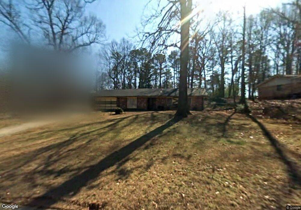
4840 Huntlea Ct Unit 1 Decatur, GA 30034
Southwest DeKalb NeighborhoodEstimated Value: $237,343 - $314,000
3
Beds
2
Baths
1,628
Sq Ft
$164/Sq Ft
Est. Value
About This Home
This home is located at 4840 Huntlea Ct Unit 1, Decatur, GA 30034 and is currently estimated at $267,336, approximately $164 per square foot. 4840 Huntlea Ct Unit 1 is a home located in DeKalb County with nearby schools including Browns Mill Elementary School, Salem Middle School, and Martin Luther King- Jr. High School.
Ownership History
Date
Name
Owned For
Owner Type
Purchase Details
Closed on
Aug 30, 1994
Sold by
Secretary Of Hud
Bought by
Dalton Willie R Kathleen
Current Estimated Value
Home Financials for this Owner
Home Financials are based on the most recent Mortgage that was taken out on this home.
Original Mortgage
$81,450
Interest Rate
8.37%
Mortgage Type
FHA
Purchase Details
Closed on
May 3, 1994
Sold by
M L A Inc
Bought by
Secretary Of Hud
Create a Home Valuation Report for This Property
The Home Valuation Report is an in-depth analysis detailing your home's value as well as a comparison with similar homes in the area
Home Values in the Area
Average Home Value in this Area
Purchase History
| Date | Buyer | Sale Price | Title Company |
|---|---|---|---|
| Dalton Willie R Kathleen | -- | -- | |
| Secretary Of Hud | -- | -- | |
| M L A Inc | $84,535 | -- |
Source: Public Records
Mortgage History
| Date | Status | Borrower | Loan Amount |
|---|---|---|---|
| Closed | Dalton Willie R Kathleen | $81,450 |
Source: Public Records
Tax History Compared to Growth
Tax History
| Year | Tax Paid | Tax Assessment Tax Assessment Total Assessment is a certain percentage of the fair market value that is determined by local assessors to be the total taxable value of land and additions on the property. | Land | Improvement |
|---|---|---|---|---|
| 2025 | $2,656 | $93,080 | $11,000 | $82,080 |
| 2024 | $2,571 | $86,800 | $11,000 | $75,800 |
| 2023 | $2,571 | $94,920 | $11,000 | $83,920 |
| 2022 | $1,979 | $64,360 | $4,000 | $60,360 |
| 2021 | $1,708 | $52,640 | $4,000 | $48,640 |
| 2020 | $1,654 | $50,080 | $4,000 | $46,080 |
| 2019 | $1,450 | $43,680 | $4,000 | $39,680 |
| 2018 | $892 | $32,440 | $4,000 | $28,440 |
| 2017 | $936 | $27,880 | $2,880 | $25,000 |
| 2016 | $1,063 | $32,120 | $2,880 | $29,240 |
| 2014 | $939 | $28,480 | $2,880 | $25,600 |
Source: Public Records
Map
Nearby Homes
- 4494 Huntsman Bend
- 4480 Raleigh Dr
- 4505 Wonder Valley Trail
- 4426 Sterling Forest Dr
- 2855 Thompson Cir
- 4669 Huntsman Bend
- 2687 Paxton Place
- 2922 Snapfinger Rd
- 4281 Arcadia Dr
- 4279 & 4281 Sebring Walk
- 4282 Callum Ct
- 4671 Jakes Trail
- 4716 Jakes Trail
- 3042 Cobb Trail
- 4683 Thompson Mill Rd
- 4469 Wellington Terrace Unit 1
- 2826 Snapfinger Manor Unit 106
- 2742 Snapfinger Manor Unit 128
- 4181 Liffey Ln
- 4695 Thompson Mill Rd
- 4848 Huntlea Ct Unit 1
- 2821 Pebble Dr
- 2829 Pebble Dr
- 4856 Huntlea Ct Unit 1
- 2837 Pebble Dr
- 4450 Huntsman Bend
- 4442 Huntsman Bend
- 4841 Huntlea Ct
- 4833 Huntlea Ct
- 4849 Huntlea Ct
- 2841 Pebble Dr
- 4860 Huntlea Ct
- 4825 Huntlea Ct
- 4818 Huntsman Bend
- 4861 Huntlea Ct Unit 1
- 4857 Huntlea Ct
- 2830 Pebble Dr
- 4470 Huntsman Bend
- 4470 Huntsman Bend Unit 1/40
- 2849 Pebble Dr