4840 Kings Rd Doylestown, PA 18902
Estimated Value: $576,000 - $851,000
3
Beds
3
Baths
2,318
Sq Ft
$297/Sq Ft
Est. Value
About This Home
This home is located at 4840 Kings Rd, Doylestown, PA 18902 and is currently estimated at $687,730, approximately $296 per square foot. 4840 Kings Rd is a home located in Bucks County with nearby schools including Cold Spring Elementary School, Holicong Middle School, and Central Bucks High School - East.
Ownership History
Date
Name
Owned For
Owner Type
Purchase Details
Closed on
Jun 7, 2017
Sold by
Marascio Daniel P and Marascio Kelly
Bought by
Marascio Daniel P
Current Estimated Value
Home Financials for this Owner
Home Financials are based on the most recent Mortgage that was taken out on this home.
Original Mortgage
$328,000
Outstanding Balance
$253,470
Interest Rate
4.02%
Mortgage Type
New Conventional
Estimated Equity
$434,260
Purchase Details
Closed on
Dec 21, 2007
Sold by
Trezise Glen F and Trezise Hillary B
Bought by
Marascio Kelly L and Marascio Daniel P
Home Financials for this Owner
Home Financials are based on the most recent Mortgage that was taken out on this home.
Original Mortgage
$50,000
Interest Rate
6.17%
Mortgage Type
Stand Alone Second
Purchase Details
Closed on
Dec 8, 1988
Bought by
Trezise Glen F and Trezise Hillary B
Create a Home Valuation Report for This Property
The Home Valuation Report is an in-depth analysis detailing your home's value as well as a comparison with similar homes in the area
Home Values in the Area
Average Home Value in this Area
Purchase History
| Date | Buyer | Sale Price | Title Company |
|---|---|---|---|
| Marascio Daniel P | -- | None Available | |
| Marascio Kelly L | $365,000 | None Available | |
| Trezise Glen F | $175,000 | -- |
Source: Public Records
Mortgage History
| Date | Status | Borrower | Loan Amount |
|---|---|---|---|
| Open | Marascio Daniel P | $328,000 | |
| Closed | Marascio Kelly L | $50,000 | |
| Closed | Marascio Kelly L | $292,000 |
Source: Public Records
Tax History Compared to Growth
Tax History
| Year | Tax Paid | Tax Assessment Tax Assessment Total Assessment is a certain percentage of the fair market value that is determined by local assessors to be the total taxable value of land and additions on the property. | Land | Improvement |
|---|---|---|---|---|
| 2025 | $5,086 | $31,240 | $8,960 | $22,280 |
| 2024 | $5,086 | $31,240 | $8,960 | $22,280 |
| 2023 | $4,914 | $31,240 | $8,960 | $22,280 |
| 2022 | $4,855 | $31,240 | $8,960 | $22,280 |
| 2021 | $4,797 | $31,240 | $8,960 | $22,280 |
| 2020 | $4,797 | $31,240 | $8,960 | $22,280 |
| 2019 | $4,766 | $31,240 | $8,960 | $22,280 |
| 2018 | $4,766 | $31,240 | $8,960 | $22,280 |
| 2017 | $4,727 | $31,240 | $8,960 | $22,280 |
| 2016 | $4,773 | $31,240 | $8,960 | $22,280 |
| 2015 | -- | $31,240 | $8,960 | $22,280 |
| 2014 | -- | $31,240 | $8,960 | $22,280 |
Source: Public Records
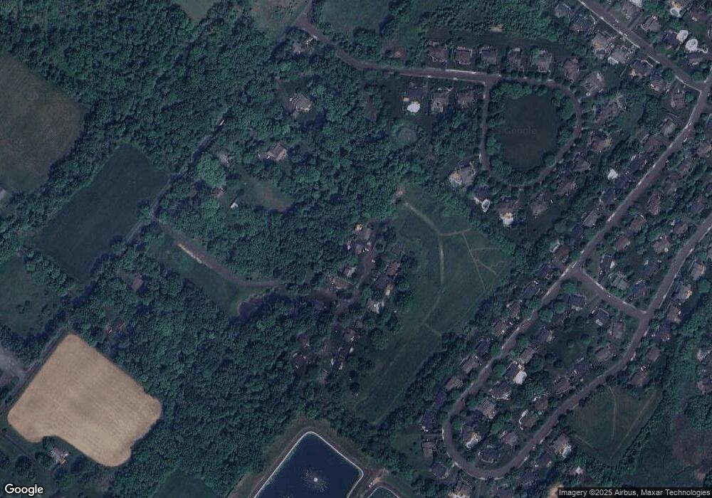
Map
Nearby Homes
- 4925 Redfield Rd
- 4936 Davis Dr
- 4221 Sir Andrew Cir
- 4190 Milords Ln
- 4605 Twinbrook Cir
- 5063 Sagewood Ct
- 3821 Nanlyn Farm Cir
- 5087 Beacon Hill Ct
- 4964 Point Pleasant Pike
- 5115 Sugar Hill Ct
- 3689 Hancock Ln
- 5184 Lovering Dr
- 5182 Point Pleasant Pike
- 6680 Point Pleasant Pike
- 5281 Harrington Ct
- 5491 Long Ln
- 3479 Durham Rd
- 3455 Durham Rd
- 3468 Holicong Rd
- 4928 Edgewood Rd