48442 High Rock Rd Richfield, NC 28137
Estimated Value: $412,000 - $696,031
4
Beds
3
Baths
2,381
Sq Ft
$222/Sq Ft
Est. Value
About This Home
This home is located at 48442 High Rock Rd, Richfield, NC 28137 and is currently estimated at $529,758, approximately $222 per square foot. 48442 High Rock Rd is a home with nearby schools including Richfield Elementary School, North Stanly Middle School, and North Stanly High School.
Ownership History
Date
Name
Owned For
Owner Type
Purchase Details
Closed on
Mar 22, 2007
Sold by
Parker Robert L
Bought by
Stakiews Raymond E and Stakiews Maureen L
Current Estimated Value
Purchase Details
Closed on
Jun 30, 2005
Sold by
Parker Robert L
Bought by
Braja Anthony and Braja Patrcia
Purchase Details
Closed on
May 23, 2005
Sold by
Parker Robert L
Bought by
Suneson Anthony Gene and Suneson Jennifer A
Create a Home Valuation Report for This Property
The Home Valuation Report is an in-depth analysis detailing your home's value as well as a comparison with similar homes in the area
Home Values in the Area
Average Home Value in this Area
Purchase History
| Date | Buyer | Sale Price | Title Company |
|---|---|---|---|
| Stakiews Raymond E | $21,000 | None Available | |
| Braja Anthony | $27,000 | None Available | |
| Suneson Anthony Gene | $24,000 | None Available |
Source: Public Records
Tax History Compared to Growth
Tax History
| Year | Tax Paid | Tax Assessment Tax Assessment Total Assessment is a certain percentage of the fair market value that is determined by local assessors to be the total taxable value of land and additions on the property. | Land | Improvement |
|---|---|---|---|---|
| 2025 | $2,946 | $482,943 | $120,417 | $362,526 |
| 2024 | $3,210 | $362,396 | $74,968 | $287,428 |
| 2023 | $2,697 | $362,396 | $74,968 | $287,428 |
| 2022 | $2,561 | $362,396 | $74,968 | $287,428 |
| 2021 | $2,559 | $362,396 | $74,968 | $287,428 |
| 2020 | $2,454 | $322,808 | $67,726 | $255,082 |
| 2019 | $2,474 | $322,808 | $67,726 | $255,082 |
| 2018 | $2,387 | $312,539 | $57,457 | $255,082 |
| 2017 | $425 | $57,457 | $57,457 | $0 |
| 2016 | $404 | $54,654 | $54,654 | $0 |
| 2015 | $409 | $54,654 | $54,654 | $0 |
| 2014 | $456 | $54,654 | $54,654 | $0 |
Source: Public Records
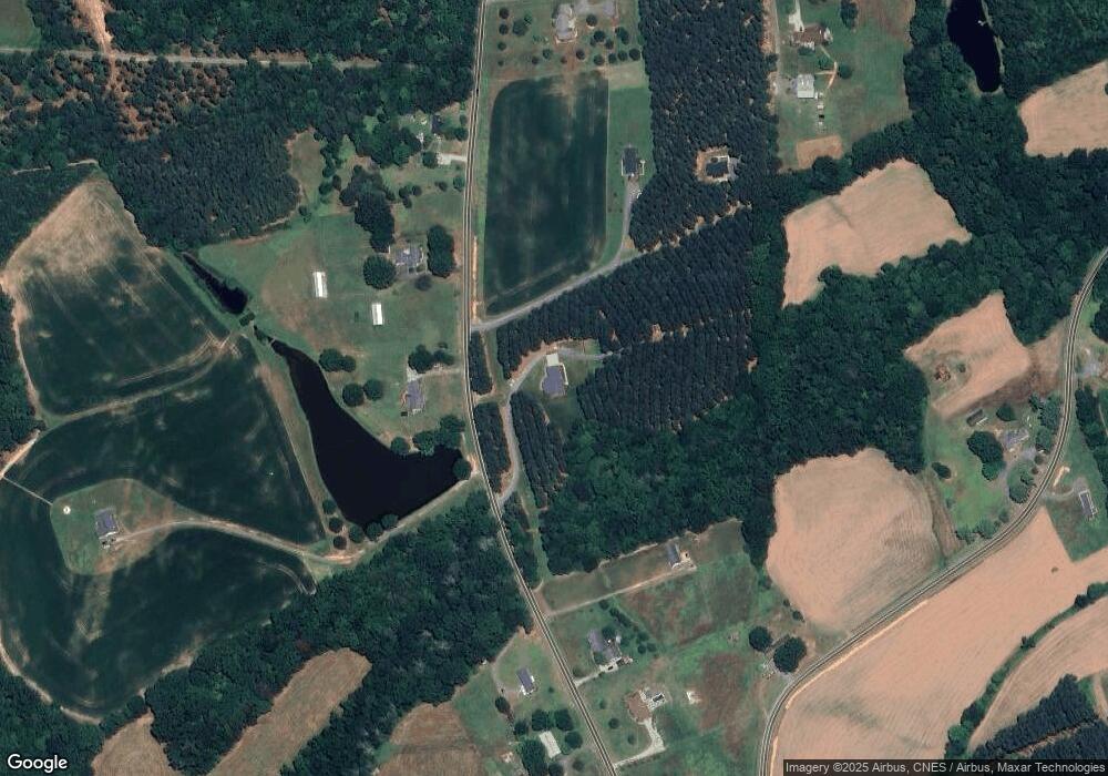
Map
Nearby Homes
- 02 State Highway 49
- 319 Nc Hwy 49 S
- 0 Wagoner Rd
- 0 Reeves Island Rd
- 310 Stoneyard Rd
- 307 Nc Hwy 49 S
- 307 Stoneyard Rd
- 120 Williams Store Rd
- 48708 U S 52
- 44389 U S 52
- 44434 U S 52
- 44401 U S 52
- 0 River Rd
- 42765 Caudle Rd
- 31655 Pinewood Dr
- 00 Herlocker Rd
- 0 Woody Way Unit CAR4284179
- 01 Stokes Ferry Rd
- 0 Stokes Ferry Rd
- 00 N Carolina 740
- 48487 High Rock Rd
- 48513 High Rock Rd
- 48412 High Rock Rd
- 48498 High Rock Rd
- 48408 High Rock Rd
- 48543 High Rock Rd
- 48413 High Rock Rd
- 48400 High Rock Rd
- 49645 Rider Rd
- 48574B High Rock Rd
- 48399 High Rock Rd
- 48378 High Rock Rd
- 49721 Rider Rd
- 48465 High Rock Rd
- 00 High Rock Rd
- 000 High Rock Rd
- 0 High Rock Rd
- 48475 Gold Branch Rd
- 48604 High Rock Rd
- 0 Gold Branch Rd