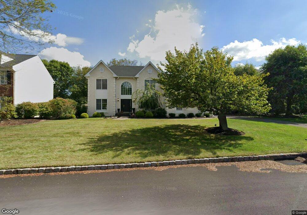
4845 Mead Dr Doylestown, PA 18902
Estimated Value: $890,299 - $1,011,000
5
Beds
4
Baths
3,400
Sq Ft
$285/Sq Ft
Est. Value
About This Home
This home is located at 4845 Mead Dr, Doylestown, PA 18902 and is currently estimated at $967,575, approximately $284 per square foot. 4845 Mead Dr is a home located in Bucks County with nearby schools including Cold Spring Elementary School, Holicong Middle School, and Central Bucks High School - East.
Ownership History
Date
Name
Owned For
Owner Type
Purchase Details
Closed on
Jul 11, 2008
Sold by
Kalouche Raymond S and Kalouche Caroline R
Bought by
Updale Nels M and Updale Jennifer L
Current Estimated Value
Home Financials for this Owner
Home Financials are based on the most recent Mortgage that was taken out on this home.
Original Mortgage
$405,000
Outstanding Balance
$266,524
Interest Rate
6.47%
Mortgage Type
Purchase Money Mortgage
Estimated Equity
$701,051
Purchase Details
Closed on
Sep 29, 1995
Sold by
Cold Spring Hunt Lp
Bought by
Kalouche Raymond S and Kalouche Caroline R
Home Financials for this Owner
Home Financials are based on the most recent Mortgage that was taken out on this home.
Original Mortgage
$234,400
Interest Rate
7.36%
Create a Home Valuation Report for This Property
The Home Valuation Report is an in-depth analysis detailing your home's value as well as a comparison with similar homes in the area
Home Values in the Area
Average Home Value in this Area
Purchase History
| Date | Buyer | Sale Price | Title Company |
|---|---|---|---|
| Updale Nels M | $605,000 | None Available | |
| Kalouche Raymond S | $286,560 | -- |
Source: Public Records
Mortgage History
| Date | Status | Borrower | Loan Amount |
|---|---|---|---|
| Open | Updale Nels M | $405,000 | |
| Previous Owner | Kalouche Raymond S | $234,400 |
Source: Public Records
Tax History
| Year | Tax Paid | Tax Assessment Tax Assessment Total Assessment is a certain percentage of the fair market value that is determined by local assessors to be the total taxable value of land and additions on the property. | Land | Improvement |
|---|---|---|---|---|
| 2025 | $8,720 | $53,560 | $10,480 | $43,080 |
| 2024 | $8,720 | $53,560 | $10,480 | $43,080 |
| 2023 | $8,424 | $53,560 | $10,480 | $43,080 |
| 2022 | $8,324 | $53,560 | $10,480 | $43,080 |
| 2021 | $8,224 | $53,560 | $10,480 | $43,080 |
| 2020 | $8,224 | $53,560 | $10,480 | $43,080 |
| 2019 | $8,171 | $53,560 | $10,480 | $43,080 |
| 2018 | $8,171 | $53,560 | $10,480 | $43,080 |
| 2017 | $8,104 | $53,560 | $10,480 | $43,080 |
| 2016 | $8,184 | $53,560 | $10,480 | $43,080 |
| 2015 | -- | $53,560 | $10,480 | $43,080 |
| 2014 | -- | $53,560 | $10,480 | $43,080 |
Source: Public Records
Map
Nearby Homes
- 4179 Miladies Ln
- 4783 Landisville Rd
- 4533 Deep Creek Way
- 3960 S Mallard Ln
- 4745 Nottingham Way
- 3689 Hancock Ln
- 5087 Raintree Ct
- 4625 Old Oak Rd
- 4990 Point Pleasant Pike
- 5182 Point Pleasant Pike
- 6680 Point Pleasant Pike
- 5491 Long Ln
- 3468 Holicong Rd
- 30 John Dyer Way
- 5380 Point Pleasant Pike
- 4215 Ferguson Dr
- 4306 Kleinot Dr
- 4298 Kleinot Dr
- 4330 Kleinot Dr
- 4246 Kleinot Dr
Your Personal Tour Guide
Ask me questions while you tour the home.