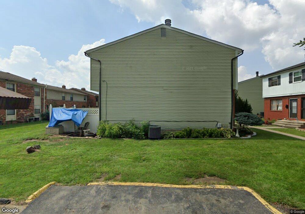
4845 Snowbird Cir Columbus, OH 43229
Forest Park East NeighborhoodEstimated Value: $129,000 - $171,000
2
Beds
2
Baths
1,096
Sq Ft
$134/Sq Ft
Est. Value
About This Home
This home is located at 4845 Snowbird Cir, Columbus, OH 43229 and is currently estimated at $146,638, approximately $133 per square foot. 4845 Snowbird Cir is a home located in Franklin County with nearby schools including Parkmoor Elementary School, Woodward Park Middle School, and Northland High School.
Ownership History
Date
Name
Owned For
Owner Type
Purchase Details
Closed on
May 22, 1997
Sold by
Harrison Milo D and Harrison Karen A
Bought by
Jordan Kim J
Current Estimated Value
Home Financials for this Owner
Home Financials are based on the most recent Mortgage that was taken out on this home.
Original Mortgage
$34,900
Outstanding Balance
$4,892
Interest Rate
8.27%
Mortgage Type
Purchase Money Mortgage
Estimated Equity
$141,746
Create a Home Valuation Report for This Property
The Home Valuation Report is an in-depth analysis detailing your home's value as well as a comparison with similar homes in the area
Home Values in the Area
Average Home Value in this Area
Purchase History
| Date | Buyer | Sale Price | Title Company |
|---|---|---|---|
| Jordan Kim J | $36,000 | Assurance Title Agency Of Oh |
Source: Public Records
Mortgage History
| Date | Status | Borrower | Loan Amount |
|---|---|---|---|
| Open | Jordan Kim J | $34,900 |
Source: Public Records
Tax History Compared to Growth
Tax History
| Year | Tax Paid | Tax Assessment Tax Assessment Total Assessment is a certain percentage of the fair market value that is determined by local assessors to be the total taxable value of land and additions on the property. | Land | Improvement |
|---|---|---|---|---|
| 2024 | $1,574 | $44,870 | $5,250 | $39,620 |
| 2023 | $2,031 | $44,870 | $5,250 | $39,620 |
| 2022 | $945 | $17,780 | $2,100 | $15,680 |
| 2021 | $947 | $17,780 | $2,100 | $15,680 |
| 2020 | $948 | $17,780 | $2,100 | $15,680 |
| 2019 | $1,106 | $17,780 | $2,100 | $15,680 |
| 2018 | $1,036 | $17,780 | $2,100 | $15,680 |
| 2017 | $1,084 | $17,780 | $2,100 | $15,680 |
| 2016 | $1,063 | $15,650 | $1,960 | $13,690 |
| 2015 | $968 | $15,650 | $1,960 | $13,690 |
| 2014 | $970 | $15,650 | $1,960 | $13,690 |
| 2013 | $504 | $16,485 | $2,065 | $14,420 |
Source: Public Records
Map
Nearby Homes
- 4866 Woodthrush Way
- 4923 Karl Rd Unit 4925
- 5022 Sienna Ln
- 5004 Julie Place
- 1744 Riverbirch Dr
- 1704 Riverbirch Dr
- 4816 Bourke Rd
- 4761 Colonel Perry Dr
- 4800 Bourke Rd
- 4815 Bourke Rd
- 4714 Ascot Dr
- 2033 Brittany Rd
- 1414 Alvina Dr
- 5124 Northcliff Loop W
- 1385 Thurell Rd
- 4849 Heatherton Dr
- 2134 Trent Rd
- 4885 Northtowne Blvd
- 2058 Northcliff Dr
- 2158 Kilbourne Ave
- 4843 Snowbird Cir Unit 12B
- 4849 Snowbird Cir Unit 10A
- 4847 Snowbird Cir Unit 10B
- 4855 Snowbird Cir Unit 11A
- 4855 Snowbird Cir Unit A
- 4853 Snowbird Cir Unit 9B
- 4857 Snowbird Cir
- 4851 Snowbird Cir
- 4858 Woodthrush Way Unit 4858
- 1727 Nestling Dr
- 1735 Nestling Dr
- 4860 Woodthrush Way Unit 4860
- 4856 Woodthrush Way Unit 4856
- 4862 Woodthrush Way Unit 4862
- 1719 Nestling Dr
- 4852 Snowbird Cir Unit 13B
- 1711 Nestling Dr
- 4864 Woodthrush Way
- 1757 Nestling Dr
- 4850 Snowbird Cir