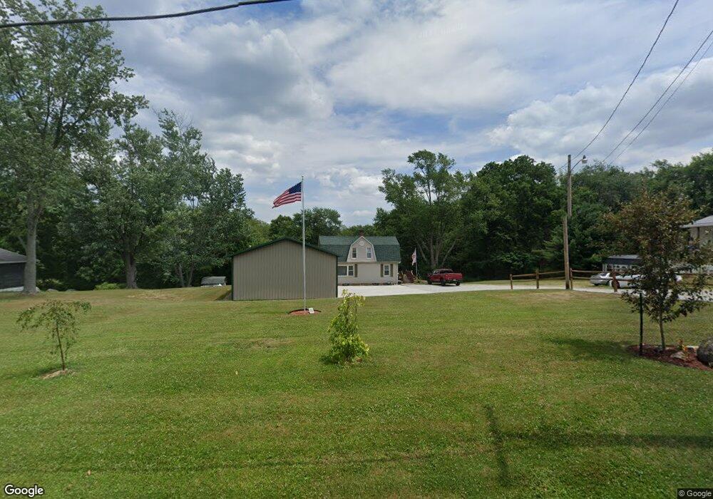
4846 Meese Rd NE Louisville, OH 44641
Estimated Value: $167,000 - $204,244
3
Beds
1
Bath
1,260
Sq Ft
$152/Sq Ft
Est. Value
About This Home
This home is located at 4846 Meese Rd NE, Louisville, OH 44641 and is currently estimated at $191,311, approximately $151 per square foot. 4846 Meese Rd NE is a home located in Stark County with nearby schools including Louisville High School and St. Thomas Aquinas High School & Middle School.
Ownership History
Date
Name
Owned For
Owner Type
Purchase Details
Closed on
Apr 1, 1999
Sold by
Cross Bobbi
Bought by
Cross Craig T
Current Estimated Value
Home Financials for this Owner
Home Financials are based on the most recent Mortgage that was taken out on this home.
Original Mortgage
$72,500
Outstanding Balance
$18,129
Interest Rate
6.89%
Estimated Equity
$173,182
Purchase Details
Closed on
Mar 7, 1997
Sold by
Dourm Frances I
Bought by
Cross Craig T and Cross Bobbi
Create a Home Valuation Report for This Property
The Home Valuation Report is an in-depth analysis detailing your home's value as well as a comparison with similar homes in the area
Home Values in the Area
Average Home Value in this Area
Purchase History
| Date | Buyer | Sale Price | Title Company |
|---|---|---|---|
| Cross Craig T | -- | -- | |
| Cross Craig T | $55,000 | -- |
Source: Public Records
Mortgage History
| Date | Status | Borrower | Loan Amount |
|---|---|---|---|
| Open | Cross Craig T | $72,500 |
Source: Public Records
Tax History Compared to Growth
Tax History
| Year | Tax Paid | Tax Assessment Tax Assessment Total Assessment is a certain percentage of the fair market value that is determined by local assessors to be the total taxable value of land and additions on the property. | Land | Improvement |
|---|---|---|---|---|
| 2025 | -- | $44,560 | $18,900 | $25,660 |
| 2024 | -- | $44,560 | $18,900 | $25,660 |
| 2023 | $1,992 | $40,710 | $16,630 | $24,080 |
| 2022 | $1,998 | $40,710 | $16,630 | $24,080 |
| 2021 | $2,004 | $40,710 | $16,630 | $24,080 |
| 2020 | $1,694 | $36,330 | $14,980 | $21,350 |
| 2019 | $1,701 | $36,350 | $14,990 | $21,360 |
| 2018 | $1,697 | $36,350 | $14,990 | $21,360 |
| 2017 | $1,350 | $27,620 | $14,040 | $13,580 |
| 2016 | $1,343 | $28,080 | $14,110 | $13,970 |
| 2015 | $1,347 | $28,080 | $14,110 | $13,970 |
| 2014 | $1,272 | $24,540 | $12,320 | $12,220 |
| 2013 | $640 | $24,540 | $12,320 | $12,220 |
Source: Public Records
Map
Nearby Homes
- 2015 E Main St
- 1812 E Broad St
- 1413 Washington Blvd
- 0 Michigan Blvd
- 5495 Meese Rd NE
- 2110 Edmar St
- 308 Superior St
- 910 Crosswyck Cir
- 520 S Silver St
- 6052 N Nickelplate St
- 728 E Broad St
- 325 Lincoln Ave
- 316 E Reno Dr
- 210 E Gorgas St
- 8896 Rue Helena St
- 428 Honeycrisp Dr NE
- 3047 Mcintosh Dr NE
- 432 Honeycrisp Dr NE
- 2962 Mcintosh Dr NE
- 2963 Mcintosh Dr NE
- 4818 Meese Rd
- 4888 Meese Rd
- 4838 Meese Rd
- 4810 Meese Rd
- 4889 Meese Rd
- 4814 Meese Rd NE
- 4928 Meese Rd NE
- 4911 Meese Rd NE
- 4911 Meese Rd
- 4776 Meese Rd
- 4950 Meese Rd
- 4950 Meese Rd
- 4929 Meese Rd
- 4950 Meese Rd NE
- 4984 Meese Rd
- 8786 Scott St
- 8871 Louisville St
- 8964 Transit St
- 8860 Scott St
- 4984 Meese Rd NE