4846 Sir Austin Dr Jackson, MI 49201
Estimated Value: $385,000 - $447,000
3
Beds
3
Baths
2,296
Sq Ft
$181/Sq Ft
Est. Value
About This Home
This home is located at 4846 Sir Austin Dr, Jackson, MI 49201 and is currently estimated at $414,918, approximately $180 per square foot. 4846 Sir Austin Dr is a home located in Jackson County with nearby schools including Northwest Elementary School, Northwest Early Elementary School, and Northwest Middle School.
Ownership History
Date
Name
Owned For
Owner Type
Purchase Details
Closed on
May 10, 2010
Sold by
Furlong Craig S and Furlong Julie A
Bought by
Osborne Donn D and Wolfinger Janet L
Current Estimated Value
Home Financials for this Owner
Home Financials are based on the most recent Mortgage that was taken out on this home.
Original Mortgage
$167,920
Outstanding Balance
$113,155
Interest Rate
5.16%
Mortgage Type
New Conventional
Estimated Equity
$301,763
Purchase Details
Closed on
Mar 27, 2002
Sold by
Stonegate Developers Llc
Bought by
Furlong Craig S and Furlong Julie A
Create a Home Valuation Report for This Property
The Home Valuation Report is an in-depth analysis detailing your home's value as well as a comparison with similar homes in the area
Home Values in the Area
Average Home Value in this Area
Purchase History
| Date | Buyer | Sale Price | Title Company |
|---|---|---|---|
| Osborne Donn D | $209,900 | At | |
| Furlong Craig S | $24,100 | -- |
Source: Public Records
Mortgage History
| Date | Status | Borrower | Loan Amount |
|---|---|---|---|
| Open | Osborne Donn D | $167,920 |
Source: Public Records
Tax History Compared to Growth
Tax History
| Year | Tax Paid | Tax Assessment Tax Assessment Total Assessment is a certain percentage of the fair market value that is determined by local assessors to be the total taxable value of land and additions on the property. | Land | Improvement |
|---|---|---|---|---|
| 2025 | $3,768 | $206,400 | $0 | $0 |
| 2024 | $18 | $196,400 | $0 | $0 |
| 2023 | $1,699 | $184,200 | $0 | $0 |
| 2022 | $3,403 | $166,900 | $0 | $0 |
| 2021 | $3,344 | $148,700 | $0 | $0 |
| 2020 | $3,312 | $141,800 | $0 | $0 |
| 2019 | $3,230 | $122,000 | $0 | $0 |
| 2018 | $2,962 | $108,500 | $0 | $0 |
| 2017 | $2,796 | $106,500 | $0 | $0 |
| 2016 | $1,861 | $104,878 | $104,878 | $0 |
| 2015 | $2,729 | $85,729 | $85,729 | $0 |
| 2014 | $2,729 | $86,665 | $0 | $0 |
| 2013 | -- | $86,665 | $86,665 | $0 |
Source: Public Records
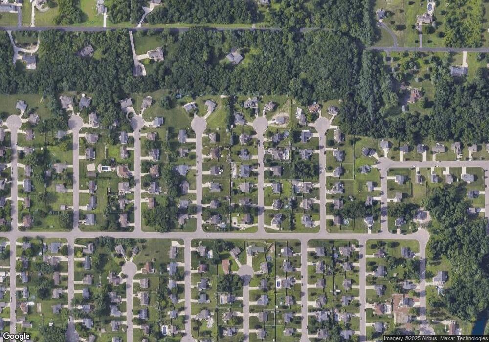
Map
Nearby Homes
- 5124 Emerald Rd
- 5038 Fieldstone St
- 5123 S Granite St
- 5177 Stone River Rd
- 0 Burt Ave
- 237 Grand River Cir
- 100 Burt Ave
- 109 Bradley Dr
- 424 Peacock Walk
- 430 Peacock Walk
- 4223 Aspen Way
- VL Morrill Rd
- VL 40 Clinton Way
- VL 29 Clinton Way
- VL 69 Clinton Way
- 3335 Clinton Way
- 4339 Clinton Rd
- 2981 Wolhavn Ln
- 2651 Elliott Rd
- 4211 Laurel
- 4850 Sir Austin Dr
- 4842 Sir Austin Dr
- 0 Sir Austin Dr
- 4813 Queen Anne Ct
- 4809 Queen Anne Ct
- 4817 Queen Anne Ct
- 4838 Sir Austin Dr
- 4854 Sir Austin Dr
- 4845 Sir Austin Dr
- 4849 Sir Austin Dr
- 4841 Sir Austin Dr
- 4805 Queen Anne Ct
- 4805 Queen Anne Ct Unit 592
- 4821 Queen Anne Ct
- 4853 Sir Austin Dr
- 4837 Sir Austin Dr
- 4834 Sir Austin Dr
- 4858 Sir Austin Dr
- 4801 Queen Anne Ct
- 4814 Queen Anne Ct