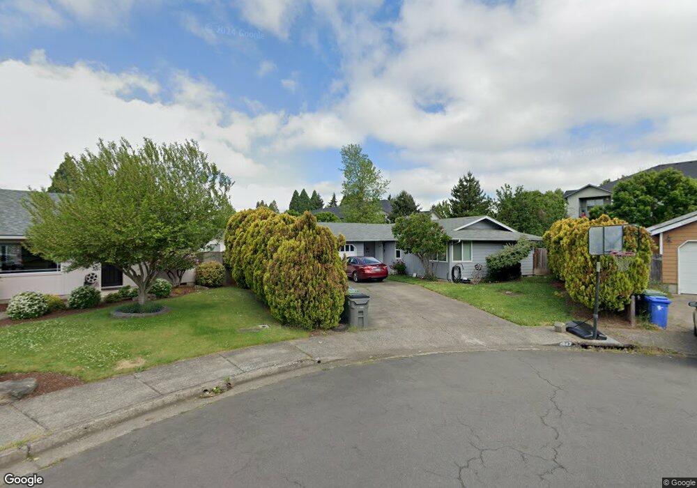
4847 Teralee Ln Eugene, OR 97402
Bethel NeighborhoodEstimated Value: $340,000 - $365,000
2
Beds
2
Baths
1,110
Sq Ft
$319/Sq Ft
Est. Value
About This Home
This home is located at 4847 Teralee Ln, Eugene, OR 97402 and is currently estimated at $353,623, approximately $318 per square foot. 4847 Teralee Ln is a home located in Lane County with nearby schools including Danebo Elementary School, Shasta Middle School, and Willamette High School.
Ownership History
Date
Name
Owned For
Owner Type
Purchase Details
Closed on
Oct 30, 2014
Sold by
Adamson Linda
Bought by
Moch Rockie D and Moch Dixie M
Current Estimated Value
Home Financials for this Owner
Home Financials are based on the most recent Mortgage that was taken out on this home.
Original Mortgage
$111,200
Outstanding Balance
$85,319
Interest Rate
4.2%
Mortgage Type
New Conventional
Estimated Equity
$268,304
Create a Home Valuation Report for This Property
The Home Valuation Report is an in-depth analysis detailing your home's value as well as a comparison with similar homes in the area
Home Values in the Area
Average Home Value in this Area
Purchase History
| Date | Buyer | Sale Price | Title Company |
|---|---|---|---|
| Moch Rockie D | $139,000 | Western Title & Escrow Co |
Source: Public Records
Mortgage History
| Date | Status | Borrower | Loan Amount |
|---|---|---|---|
| Open | Moch Rockie D | $111,200 |
Source: Public Records
Tax History
| Year | Tax Paid | Tax Assessment Tax Assessment Total Assessment is a certain percentage of the fair market value that is determined by local assessors to be the total taxable value of land and additions on the property. | Land | Improvement |
|---|---|---|---|---|
| 2025 | $3,095 | $177,943 | -- | -- |
| 2024 | $3,017 | $172,761 | -- | -- |
| 2023 | $3,017 | $167,730 | $0 | $0 |
| 2022 | $2,809 | $162,845 | $0 | $0 |
| 2021 | $2,749 | $158,102 | $0 | $0 |
| 2020 | $2,669 | $153,498 | $0 | $0 |
| 2019 | $2,538 | $149,028 | $0 | $0 |
| 2018 | $2,467 | $140,474 | $0 | $0 |
| 2017 | $2,358 | $140,474 | $0 | $0 |
| 2016 | $2,298 | $136,383 | $0 | $0 |
| 2015 | $2,252 | $132,411 | $0 | $0 |
| 2014 | $2,218 | $128,554 | $0 | $0 |
Source: Public Records
Map
Nearby Homes
- 4900 Royal Ave Unit 105
- 4900 Royal Ave Unit SP13
- 4985 Cone Ave
- 4749 Royal Ave
- 5260 Forest Ln
- 536 Raber Rd
- 647 Oakwood Dr
- 654 Saint Charles St
- 639 Oakwood Dr
- 648 Oakwood Dr
- 671 Saint Charles St
- 683 Saint Charles St
- 5254 Forest Ln
- 658 Saint Charles St
- 715 St Charles St
- 664 Saint Charles St
- 723 St Charles St
- 670 Saint Charles St
- 735 St Charles St
- 749 St Charles St
Your Personal Tour Guide
Ask me questions while you tour the home.